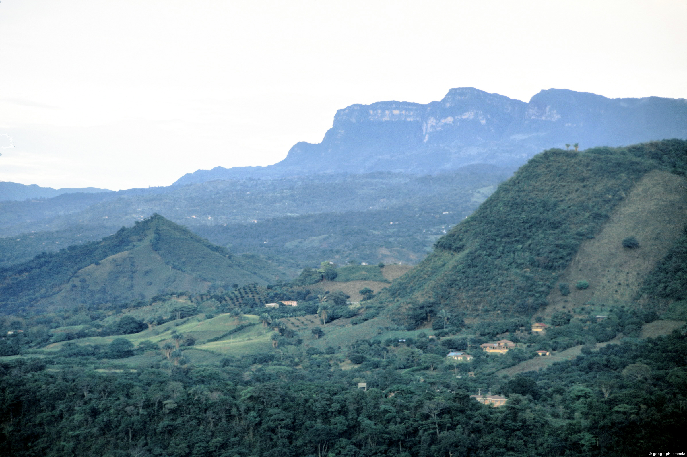
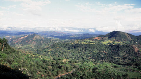
View of surrounding farmland in Anapoima with peaks in the Andes visible in the background. These peaks are around 3000 meters high.
Click Jigshare icon to turn the image into a jigsaw. Or click on photo to download or view full screen image.

View of surrounding farmland in Anapoima with peaks in the Andes visible in the background. These peaks are around 3000 meters high.
Anapoima is located among farmland near the city of Bogota. At an altitude of 700 meters above sea level,...
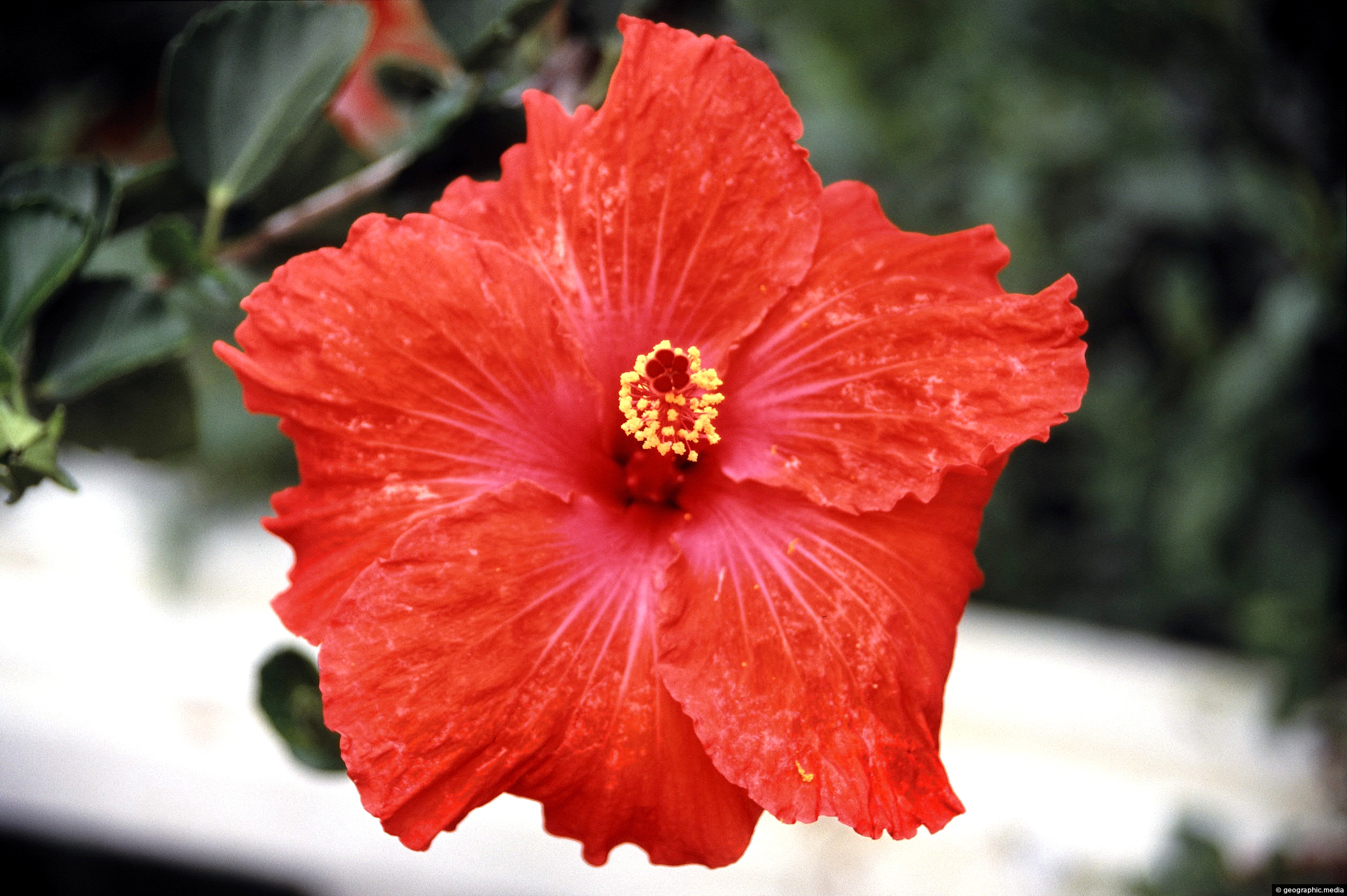
Close up view of a Hibiscus flower. While not native to Colombia, it is widely cultivated in gardens and...
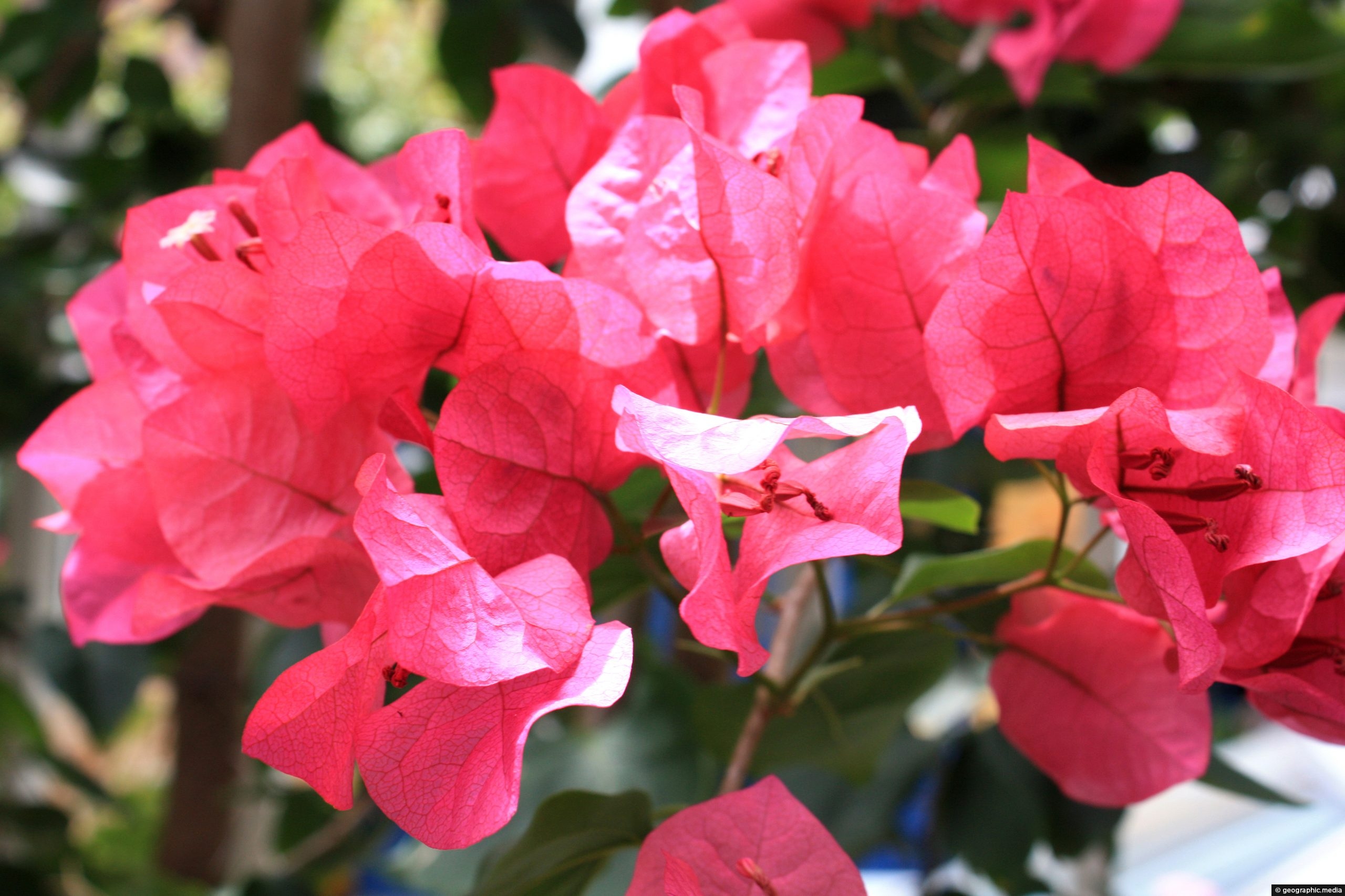
A plant with unusual red-pink leaves. If you know the name of this plant, could you leave a comment...
The Crimson Longwing butterfly (Heliconius melpomene) is a species of butterfly that belongs to the Heliconiidae family. It is...
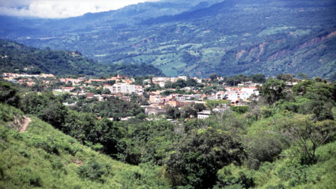
Looking at the town of Anapoima from the surrounding countryside and forest. The town is located on the flanks...
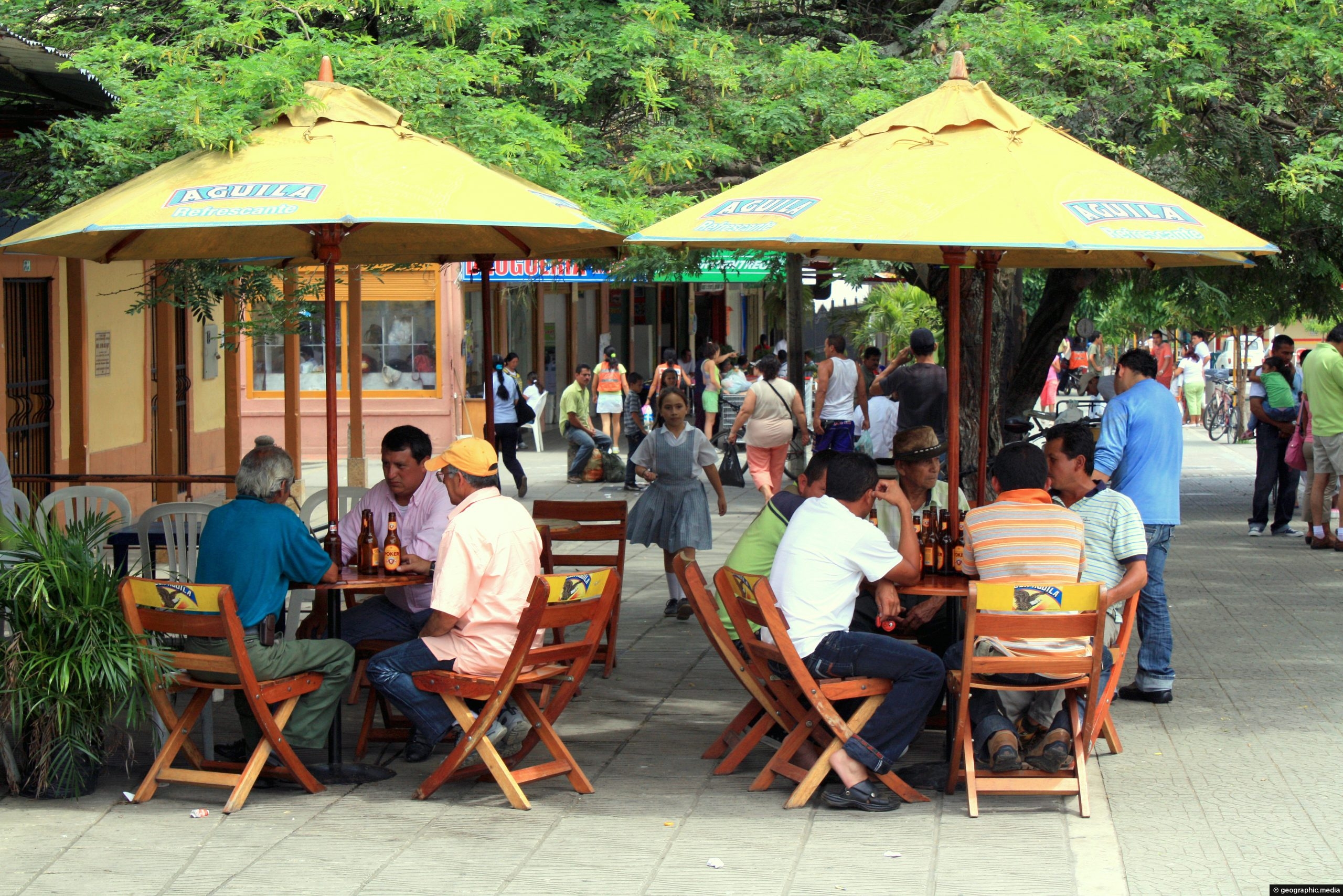
An outdoor dining area in the small town of Anapoima just outside Bogota, Colombia.
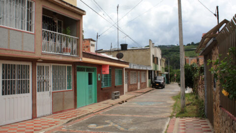
Looking at a typical and older street in the tourist town of Anapoima in Colombia.
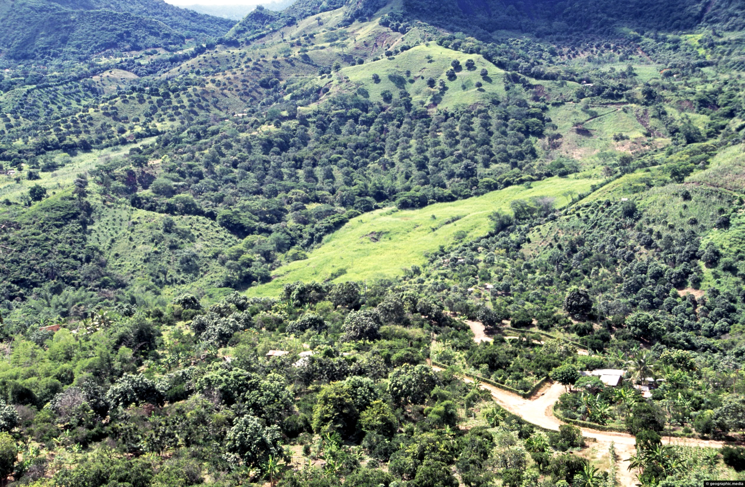
Anapoima and the surrounding rural landscapes occupy the lower flanks of the Andes mountain range. Bogota sits atop this...

