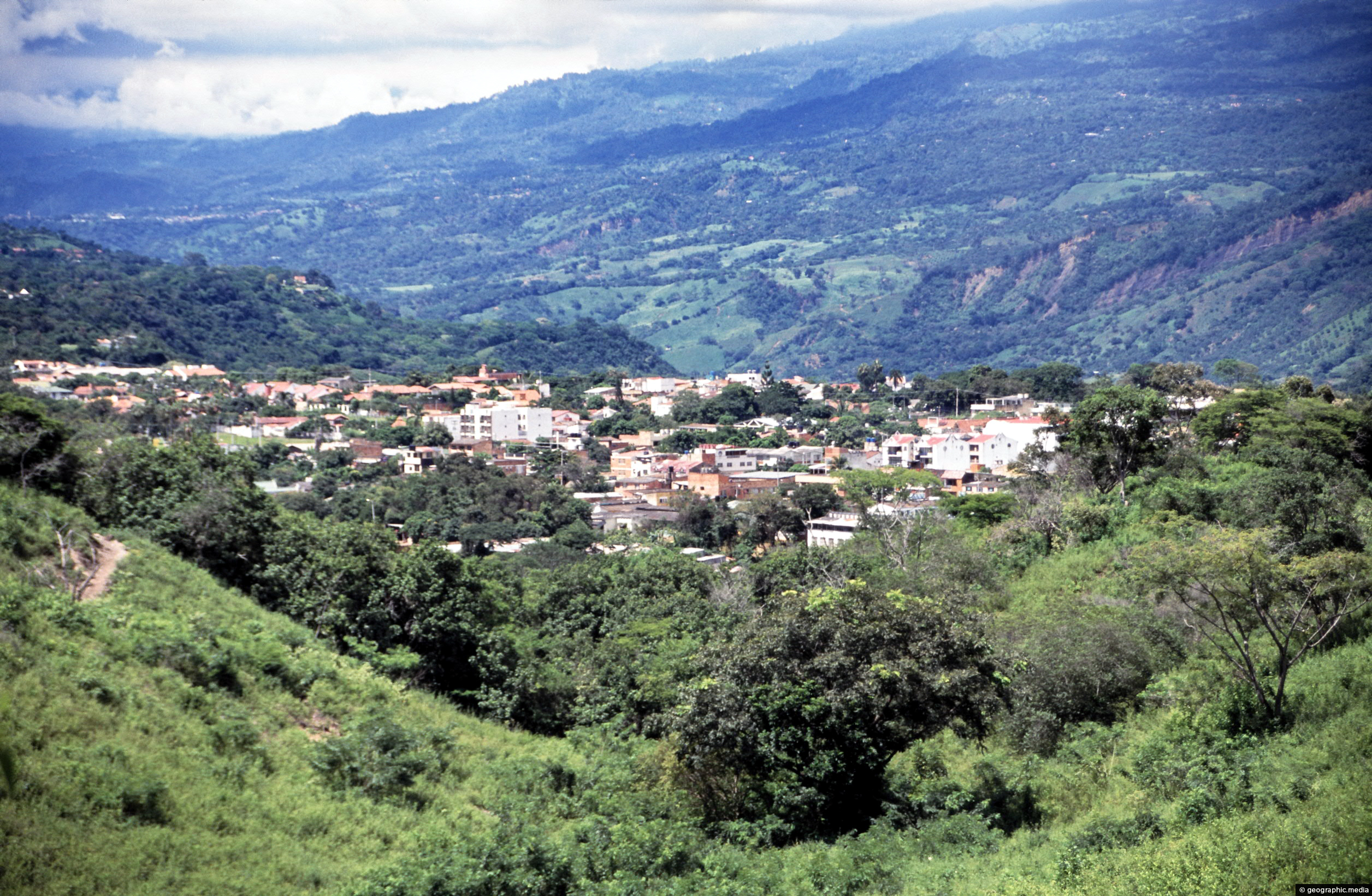
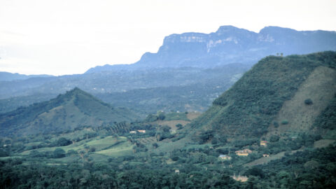
Looking at the town of Anapoima from the surrounding countryside and forest. The town is located on the flanks of the Andes approximately 2,800 meters (9,186 feet) above sea level.
Click on photo to download or view full screen image.

Looking at the town of Anapoima from the surrounding countryside and forest. The town is located on the flanks of the Andes approximately 2,800 meters (9,186 feet) above sea level.
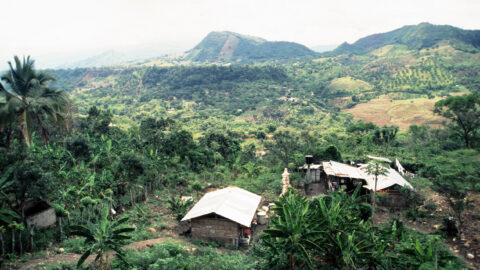
View of a banana farm in the hills that surround Anapoima. This area has a suitable climate and soil...
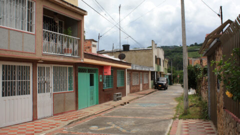
Looking at a typical and older street in the tourist town of Anapoima in Colombia.
Anapoima and the surrounding rural landscapes occupy the lower flanks of the Andes mountain range. Bogota sits atop this...
The Crimson Longwing butterfly (Heliconius melpomene) is a species of butterfly that belongs to the Heliconiidae family. It is...
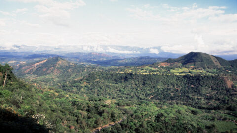
View of surrounding farmland in Anapoima with peaks in the Andes visible in the background. These peaks are around...
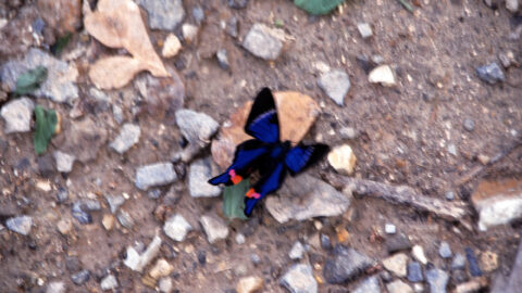
The Rhetus periander, also known as Periander Blue, is a species of butterfly in the Riodinidae family. It is...
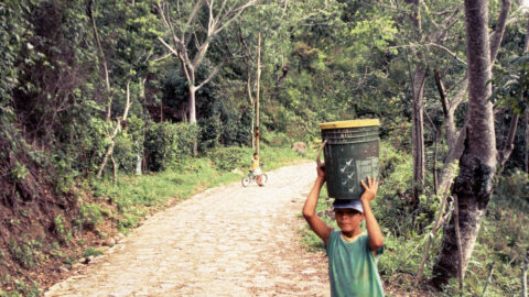
A child carrying water on a rural path to his home and farm on the outskirts of Anapoima, a...
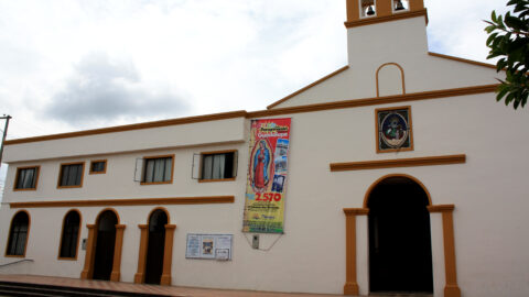
The Church of Santa Ana in Anapoima is one of the main buildings in the town square. It is...
