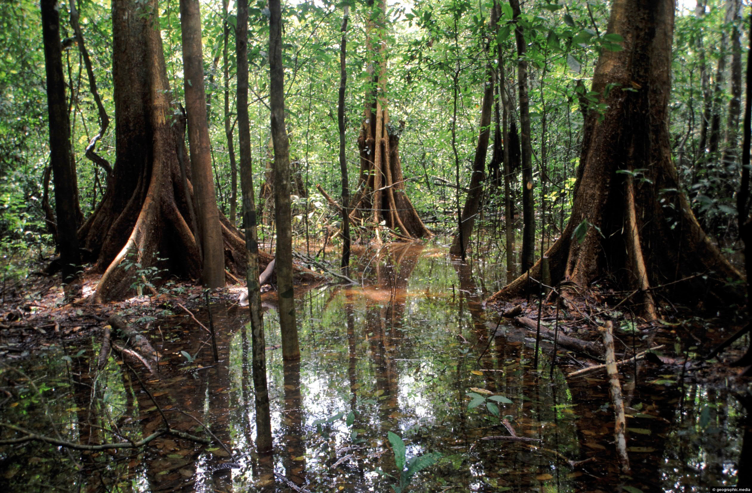
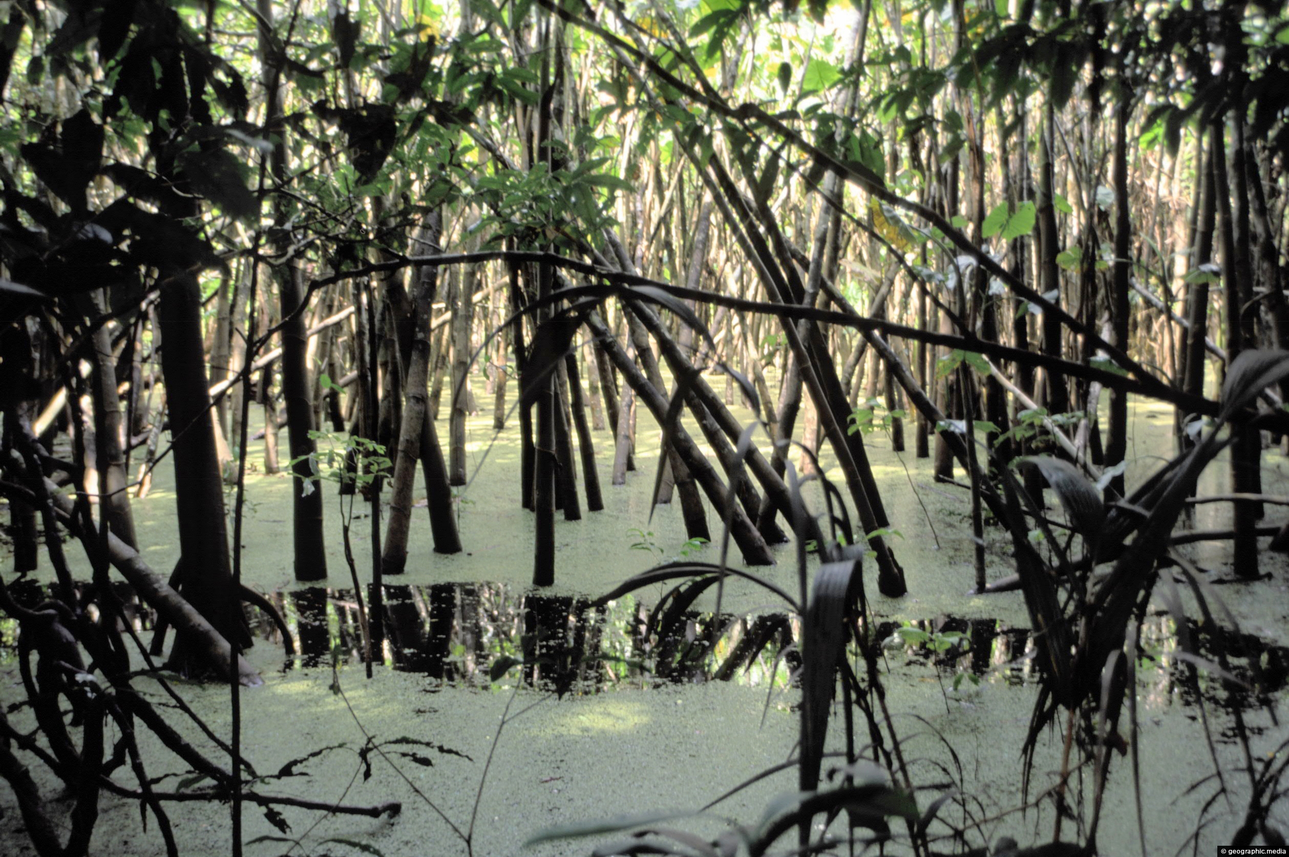
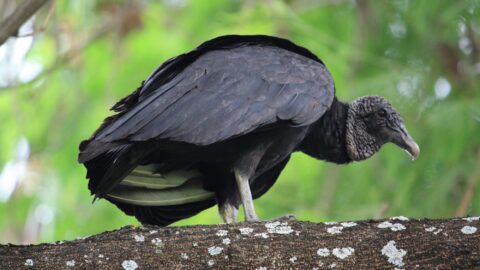
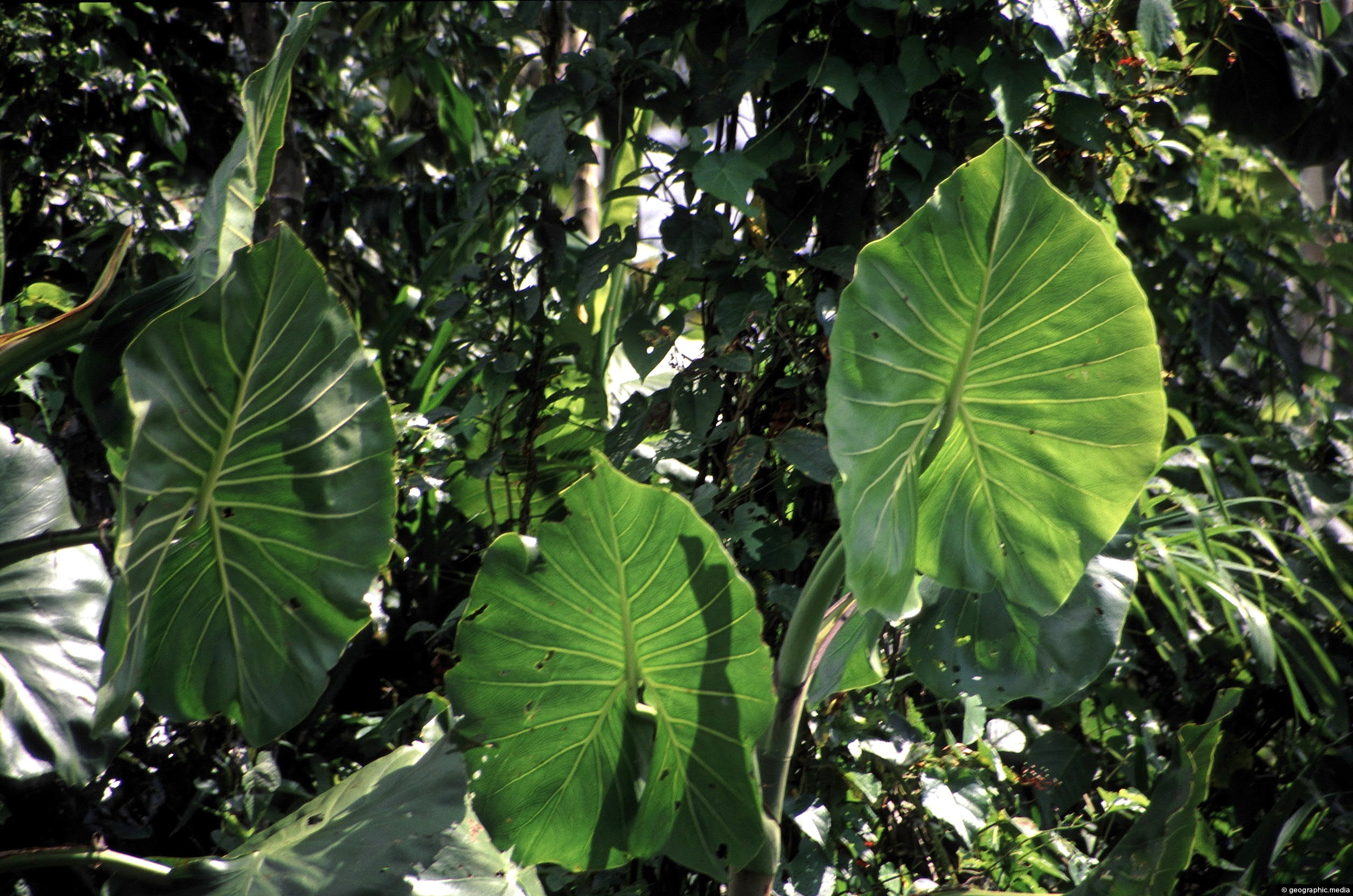
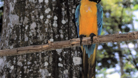
The Amazon in Colombia is flooded for up to half of the year depending on the exact location. This is due to regular flooding of the Amazon River. Consequently, you can see the high watermark as evidenced by the darker color of the bark on the bigger trees.
ALL / Explore South America / Explore Colombia / Colombia Photos / Amazonas photos / Flooded Forest in the Amazon Rainforest
All original royalty-free photos, shareable maps, and informative articles.
Flooded Forest in the Amazon Rainforest
Page Views
This post has been viewed 6,468 times
Related Articles
-
Puerto Nariño in the Amazonas department
Amazonas photos, Portrait / Vertical, Roads, Shops, Towns
Puerto Nariño is the second biggest town in the Amazonas department of Colombia. It is a lot smaller than...
-
Hanging Crab Claw (Heliconia rostrata)
Amazonas photos, Flowers, Plants, Portrait / Vertical
The Hanging Crab Claw, also known as Heliconia rostrata, is a species of the Heliconia genus of plants, which...
-
Shaman in the Colombian Amazon
Amazonas photos, Men, People, Portrait / Vertical
Photo of a shaman from a small isolated community near the Amazon River in Colombia, (circa 2002). Shamans live...
-
Flower from the Amazon
Amazonas photos, Flowers, Portrait / Vertical
A flower growing from a bush near the bank of the Amazon River in Colombia.
-
Settlement in the Amazon
Amazonas photos, Homes, Landscape / Horizontal, Settlements
A small settlement on the banks of the Amazon River in the Amazonas region of Colombia. In view is...
-
Children swimming in the Amazon River
Amazonas photos, Children, Landscape / Horizontal, People
The Amazon River in Colombia is used for bathing, fishing, and as a main transport route. With no roads...
-
Emergent Amazon
Amazonas photos, Portrait / Vertical, Trees
An emergent is a tree that rises above the forest canopy in order to get more light. The Amazon...
-
Puerto Narino settlement in the Amazonas
Amazonas photos, Forests, Homes, Landscape / Horizontal, Rivers, Roads, Settlements
View of the main street in Puerto Nariño. This settlement lies in the Amazon region of Colombia on the...
0 Comments
Calendar
M | T | W | T | F | S | S |
---|---|---|---|---|---|---|
1 | 2 | |||||
3 | 4 | 5 | 6 | 7 | 8 | 9 |
10 | 11 | 12 | 13 | 14 | 15 | 16 |
17 | 18 | 19 | 20 | 21 | 22 | 23 |
24 | 25 | 26 | 27 | 28 |
Popular Posts
- Awakening New Zealand video (100)
- Iguazu Falls as seen from Brazil (87)
- Metrocable Medellin (78)
- Pauatahanui Inlet (69)
- Spinnaker Hill in Whitby Porirua (68)
- Spinnaker Hill View (68)
- View from Whitby (68)
- The Devil’s Throat (62)
- Aerial View of Iguazu Falls (61)
- Porirua Harbour & Papakowhai (57)
- Lake Wakatipu (57)
- Salto Rivadavia & Iguassu River (56)
- Lake Tekapo & Lupins (54)
- Nelson View (53)
- Salto Rivadavia Misiones Province (53)
- Cascadas at Iguazu (53)
Subjects
AccommodationAnimalsArchitectureBeachesBirdsBoatsBridgesBuildingsCarsChurchesCitiesCoralCultureExtra Wide HorizontalFlowersForestsHarborsHomesIslandsLakesLandscape / HorizontalMapsMenMonumentsMountainsPalmsParksPeoplePlantsPortrait / VerticalRiversRoadsRuralSeaShopsSkyscrapersSnowSunsetsTownsTrailsTransportTreesVideosVolcanicWaterfalls
Recent Comments
- Lance on Concrete Hut Wainuiomata
- Tony on Concrete Hut Wainuiomata
- DavidJ on Wellington Night Skyline
- Ben on Auckland City Skyline from Westhaven Marina in 1998
- Ben on Auckland Harbour Bridge view