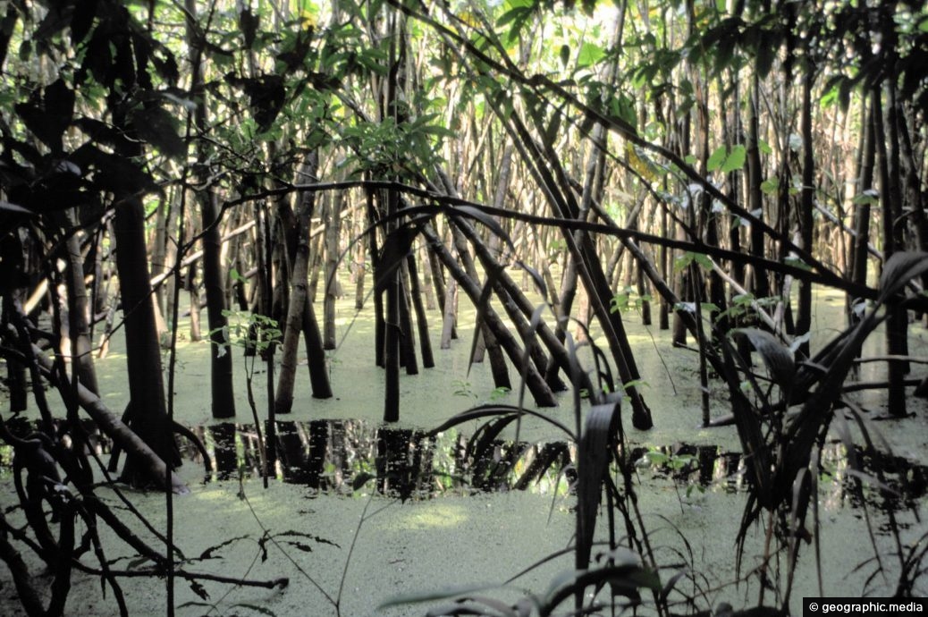
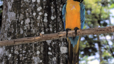
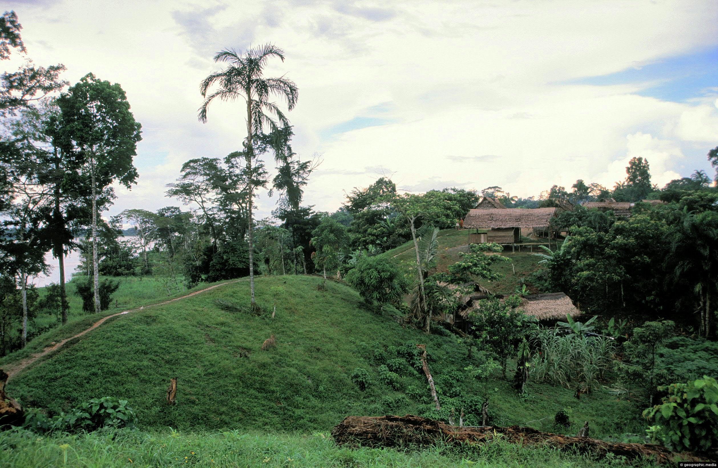
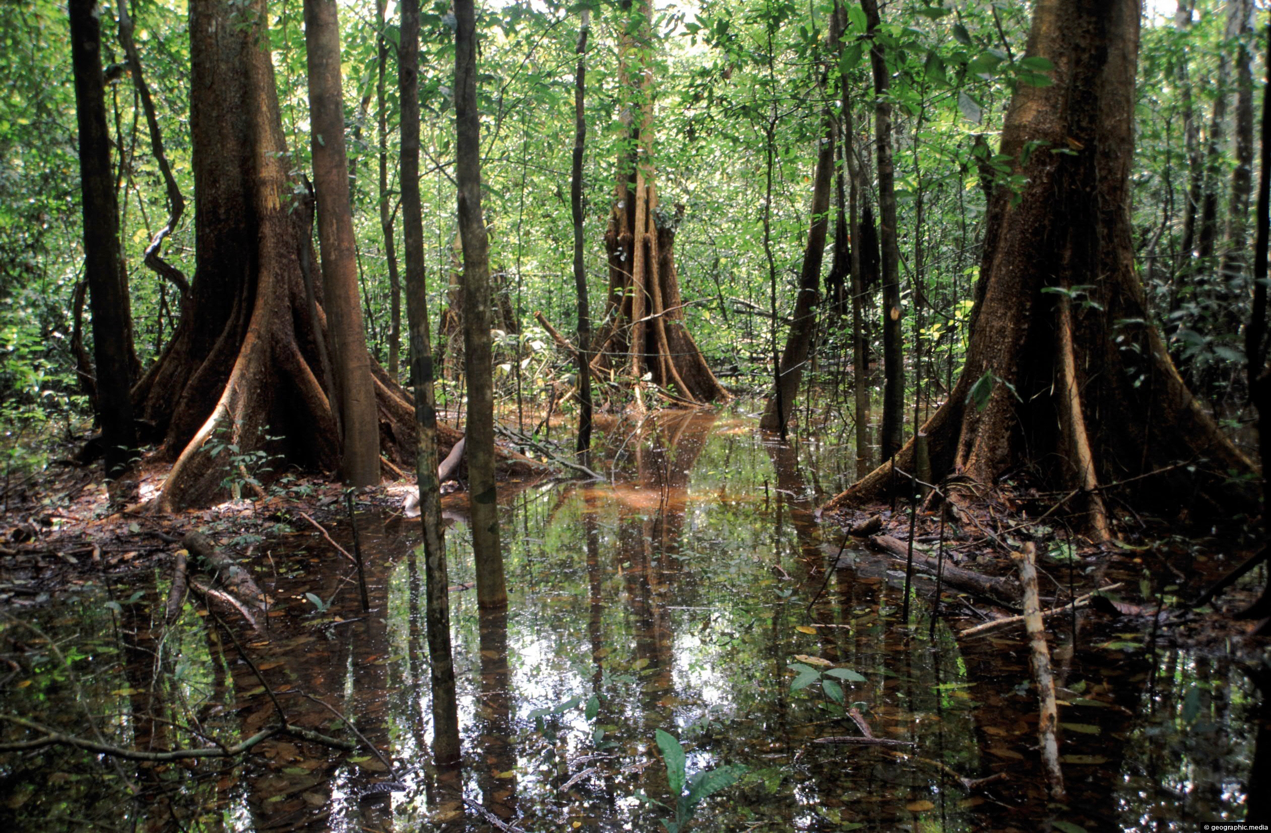
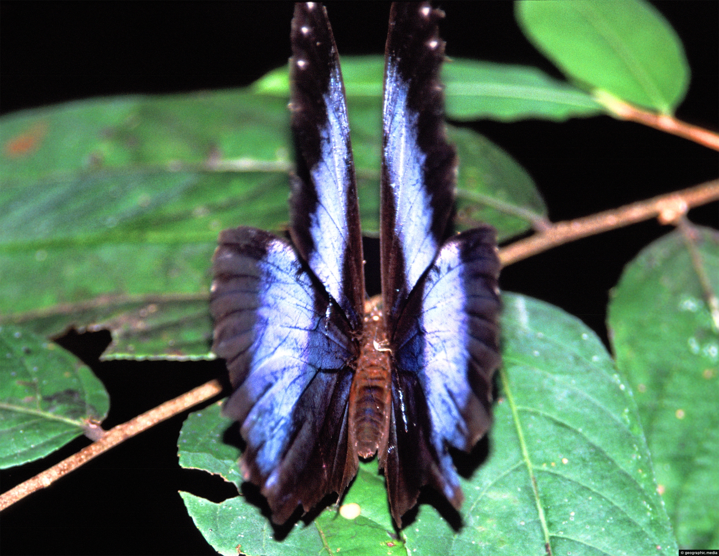
A section of flooded rain forest in the Amazonas Region of Colombia. Up to one-third of Colombia resides in the Amazon Region which is subject to seasonal flooding. Often called the flooded forest, dolphins and fish invade the drowned forest while primates and birds inhabit the trees above.
ALL / Explore South America / Explore Colombia / Colombia Photos / Amazonas photos / Flooded Amazonas Colombia
All original royalty-free photos, shareable maps, and informative articles.
Flooded Amazonas Colombia
Page Views
This post has been viewed 2,166 times
Related Articles
-
Buttress Roots Amazon Rainforest
Amazonas photos, Landscape / Horizontal, People, Trees
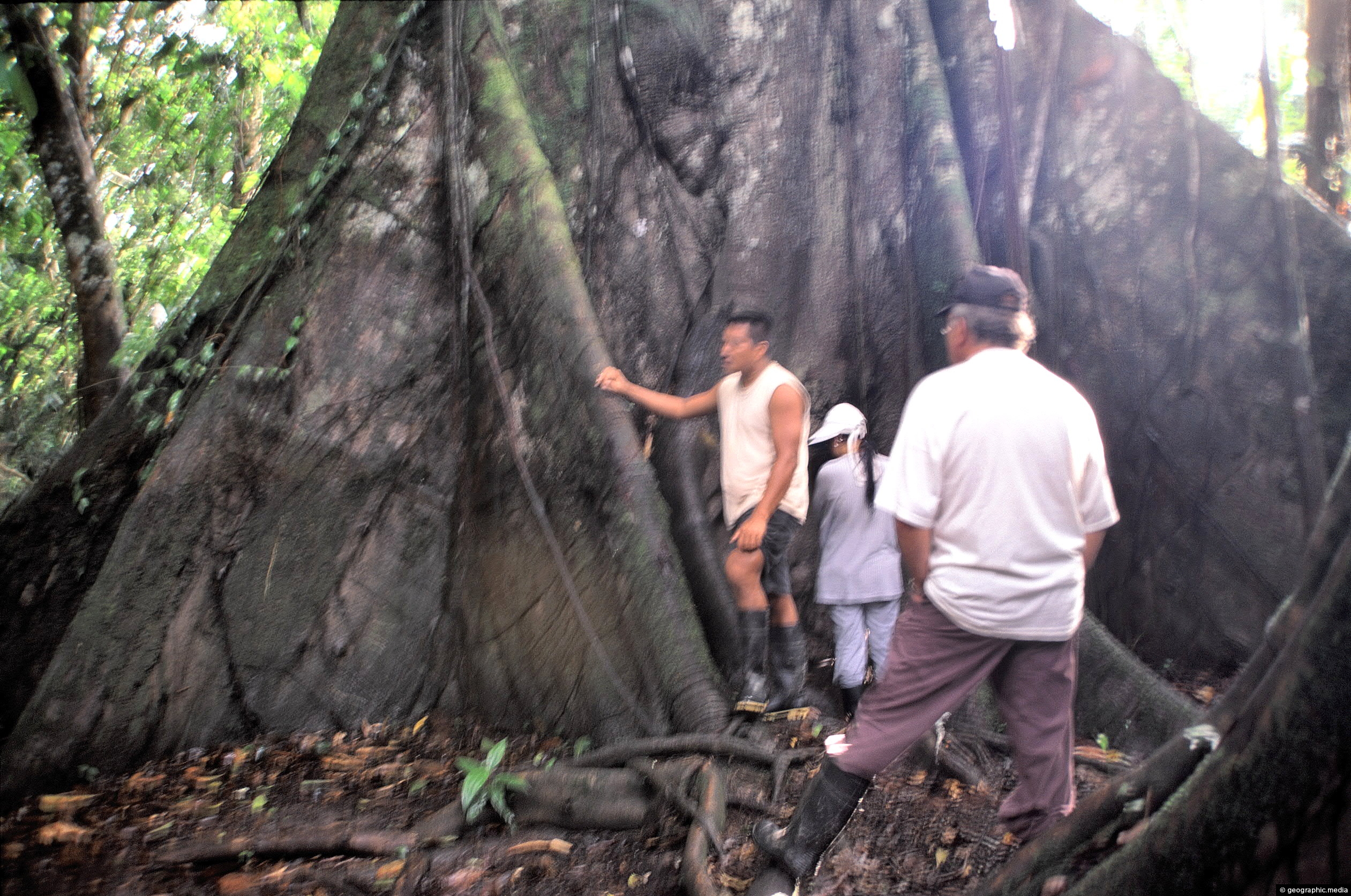
These visitors to the Amazon provide scale for this large buttress root system. Trees are usually deep rooted to...
-
Allamanda Flower
Amazonas photos, Flowers, Landscape / Horizontal
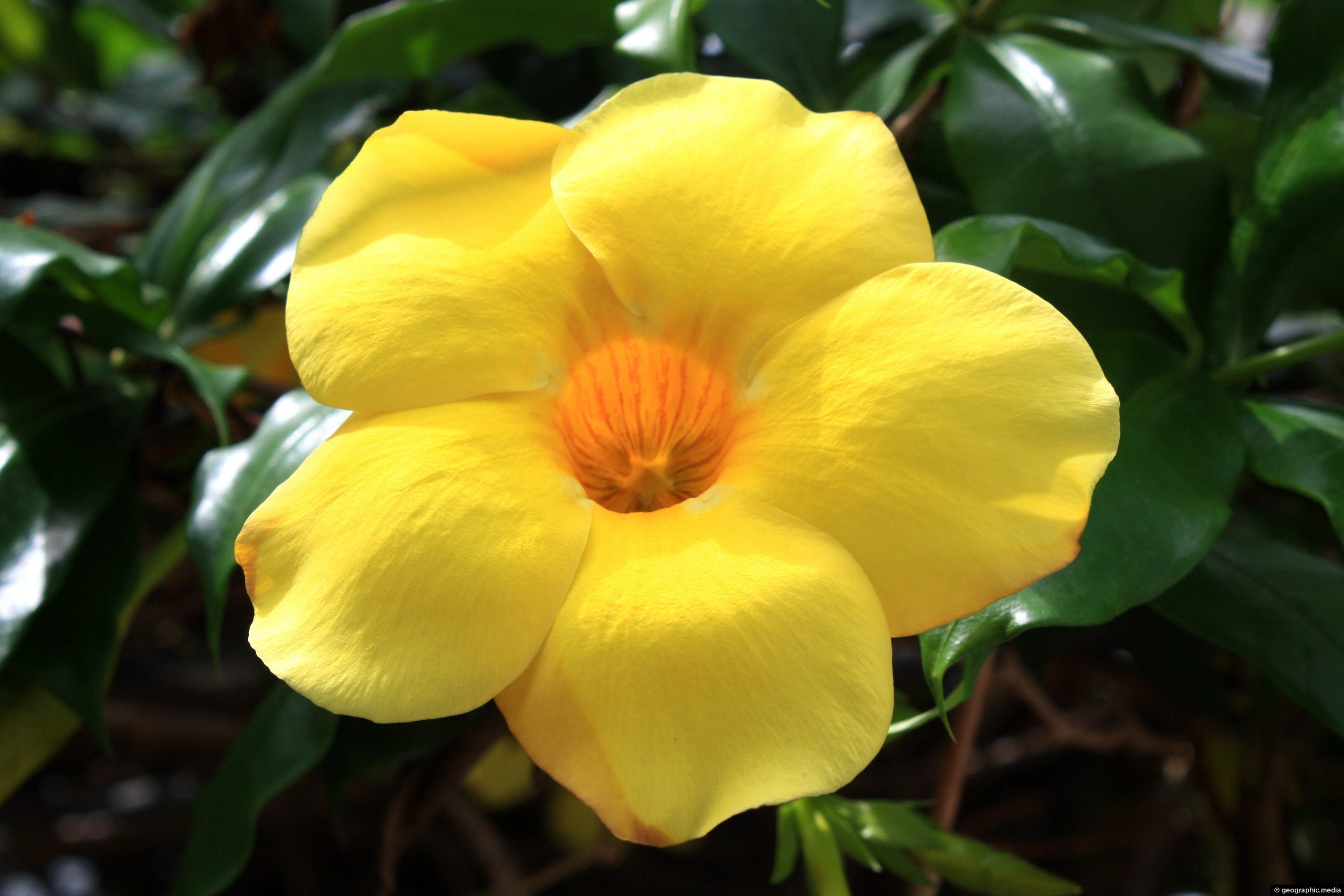
Allamanda is a genus of flowering plants that belongs to the family Apocynaceae, which is native to tropical America....
-
Red Flower in the Amazon
Amazonas photos, Flowers, Portrait / Vertical
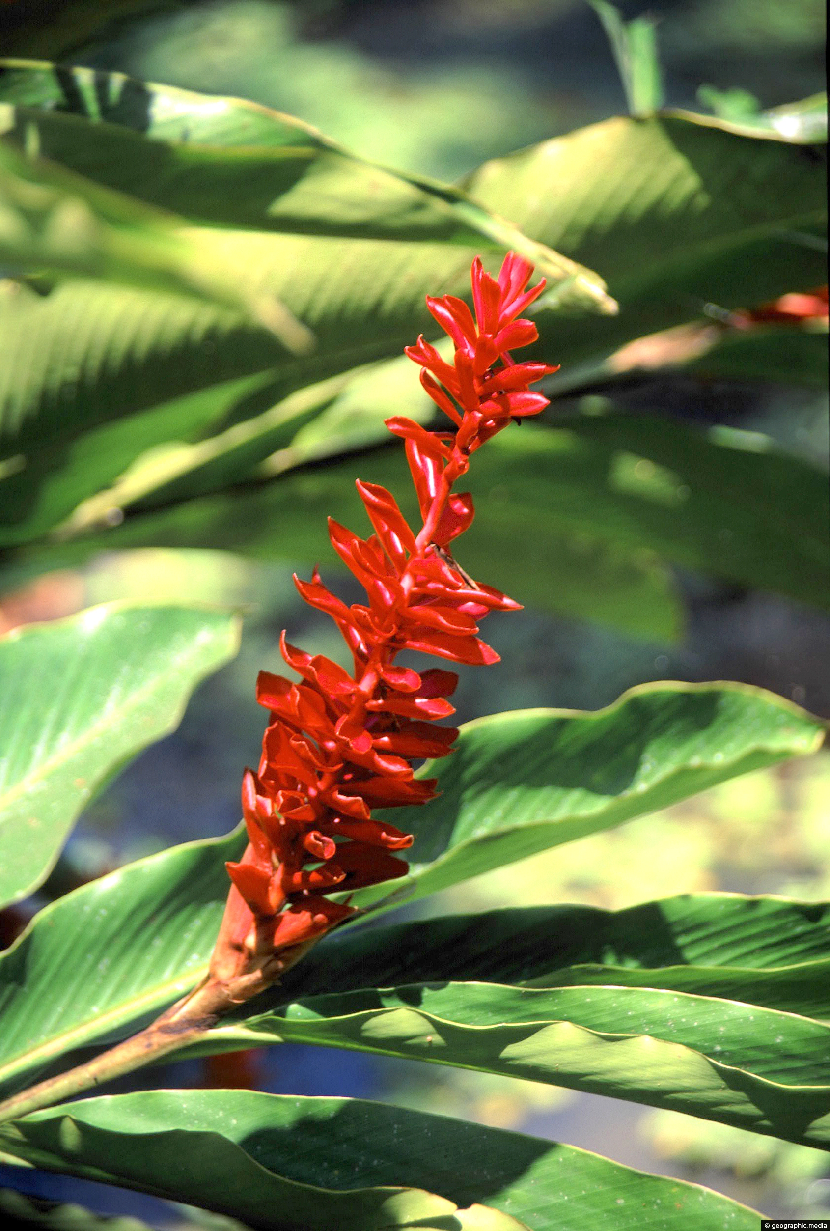
A common in flower in Colombia. If you know the name of this species, please leave a comment.
-
Blue and Gold Macaw
Amazonas photos, Animals, Birds, Portrait / Vertical, Trees
The Blue and Gold Macaw (Ara ararauna), also known as the Blue-and-yellow Macaw, is a large, brightly colored parrot...
-
Settlement in the Amazon
Amazonas photos, Homes, Landscape / Horizontal, Settlements
A small settlement on the banks of the Amazon River in the Amazonas region of Colombia. In view is...
-
Flooded Forest in the Amazon Rainforest
Amazonas photos, Landscape / Horizontal, Rivers, Trees
The Amazon in Colombia is flooded for up to half of the year depending on the exact location. This...
-
Amazon Butterfly
Amazonas photos, Animals, Butterflies, Insects, Landscape / Horizontal
A huge butterfly folding its wings upon landing. Photo taken in the Amazon Rainforest in Colombia, South America.
-
Street in an Amazon settlement
Amazonas photos, Homes, Landscape / Horizontal, Roads, Settlements
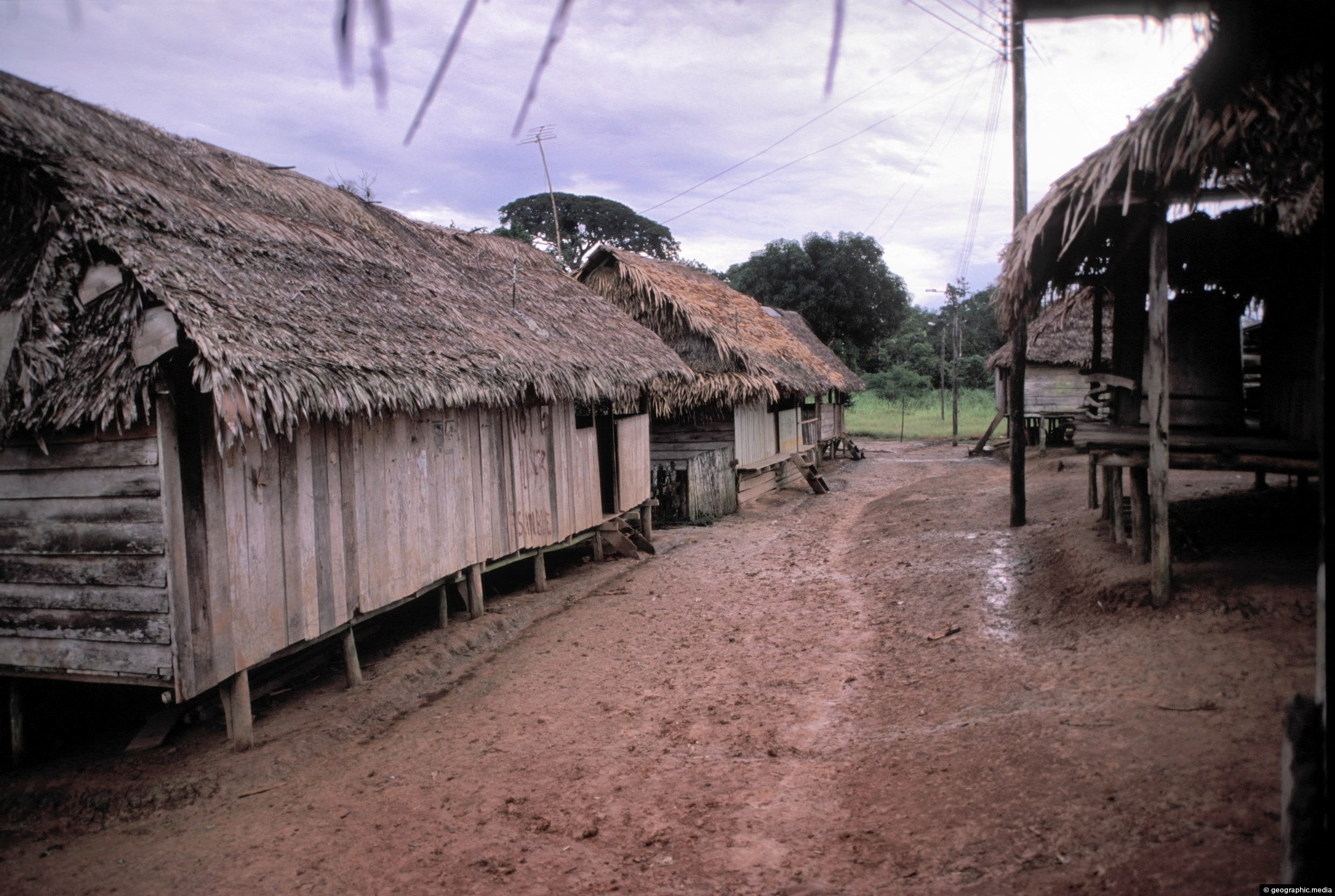
The main street in a small Amazonian settlement in southern Colombia. This area of the Amazon is called ‘The...
0 Comments
Calendar
| M | T | W | T | F | S | S |
|---|---|---|---|---|---|---|
| 1 | ||||||
| 2 | 3 | 4 | 5 | 6 | 7 | 8 |
| 9 | 10 | 11 | 12 | 13 | 14 | 15 |
| 16 | 17 | 18 | 19 | 20 | 21 | 22 |
| 23 | 24 | 25 | 26 | 27 | 28 | 29 |
| 30 | ||||||
Popular Posts
- Awakening New Zealand video (100)
- Iguazu Falls as seen from Brazil (87)
- Metrocable Medellin (78)
- Pauatahanui Inlet (69)
- Spinnaker Hill in Whitby Porirua (68)
- Spinnaker Hill View (68)
- View from Whitby (68)
- The Devil’s Throat (62)
- Aerial View of Iguazu Falls (61)
- Porirua Harbour & Papakowhai (57)
- Lake Wakatipu (57)
- Salto Rivadavia & Iguassu River (56)
- Lake Tekapo & Lupins (54)
- Nelson View (53)
- Salto Rivadavia Misiones Province (53)
- Cascadas at Iguazu (53)
Subjects
AccommodationAnimalsArchitectureBeachesBirdsBoatsBridgesBuildingsCarsChurchesCitiesCoralCultureExtra Wide HorizontalFlowersForestsHarborsHomesIslandsLakesLandscape / HorizontalMapsMenMonumentsMountainsPalmsParksPeoplePlantsPortrait / VerticalRiversRoadsRuralSeaShopsSkyscrapersSnowSunsetsTownsTrailsTransportTreesVideosVolcanicWaterfalls
Recent Comments
- Lance on Concrete Hut Wainuiomata
- Tony on Concrete Hut Wainuiomata
- DavidJ on Wellington Night Skyline
- Ben on Auckland City Skyline from Westhaven Marina in 1998
- Ben on Auckland Harbour Bridge view

