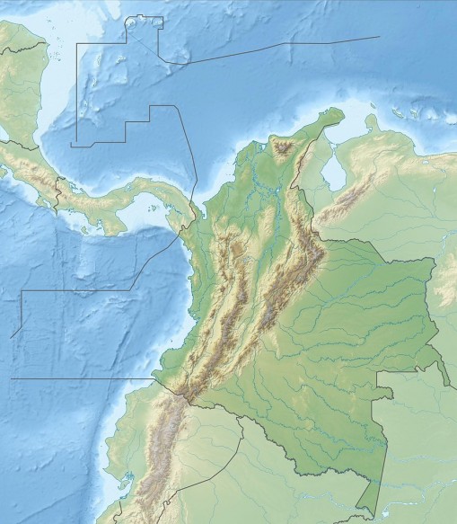
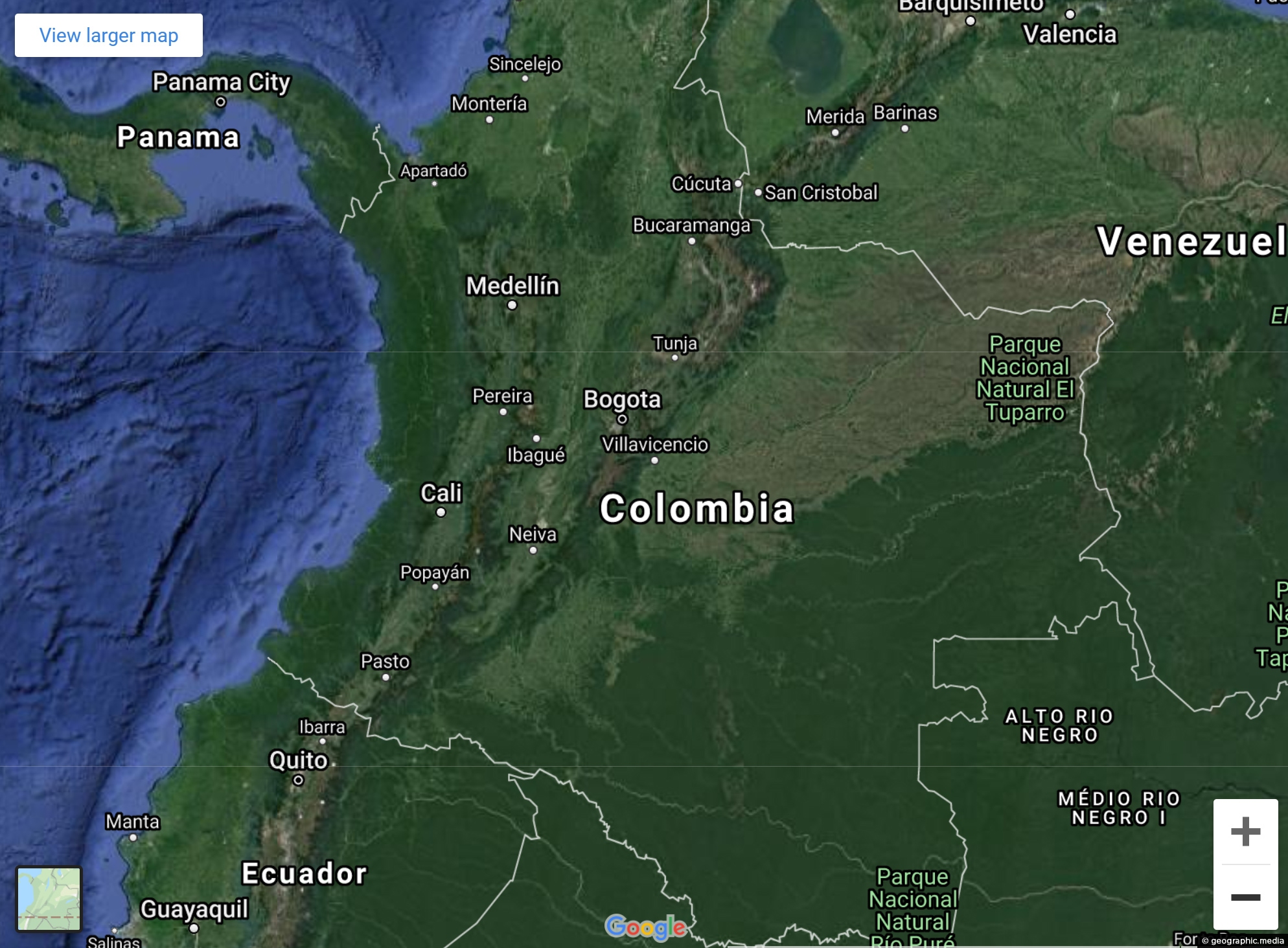
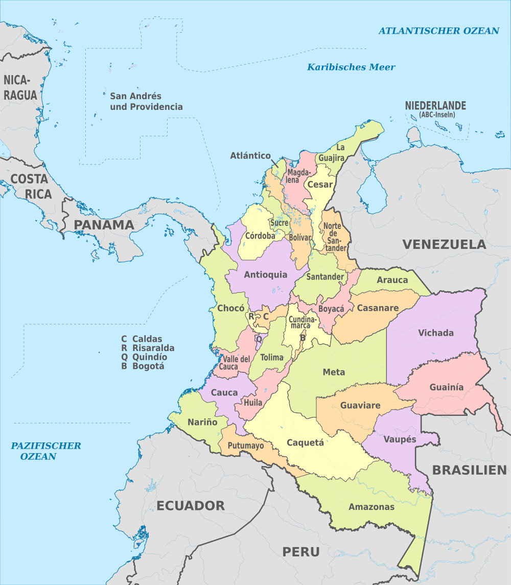
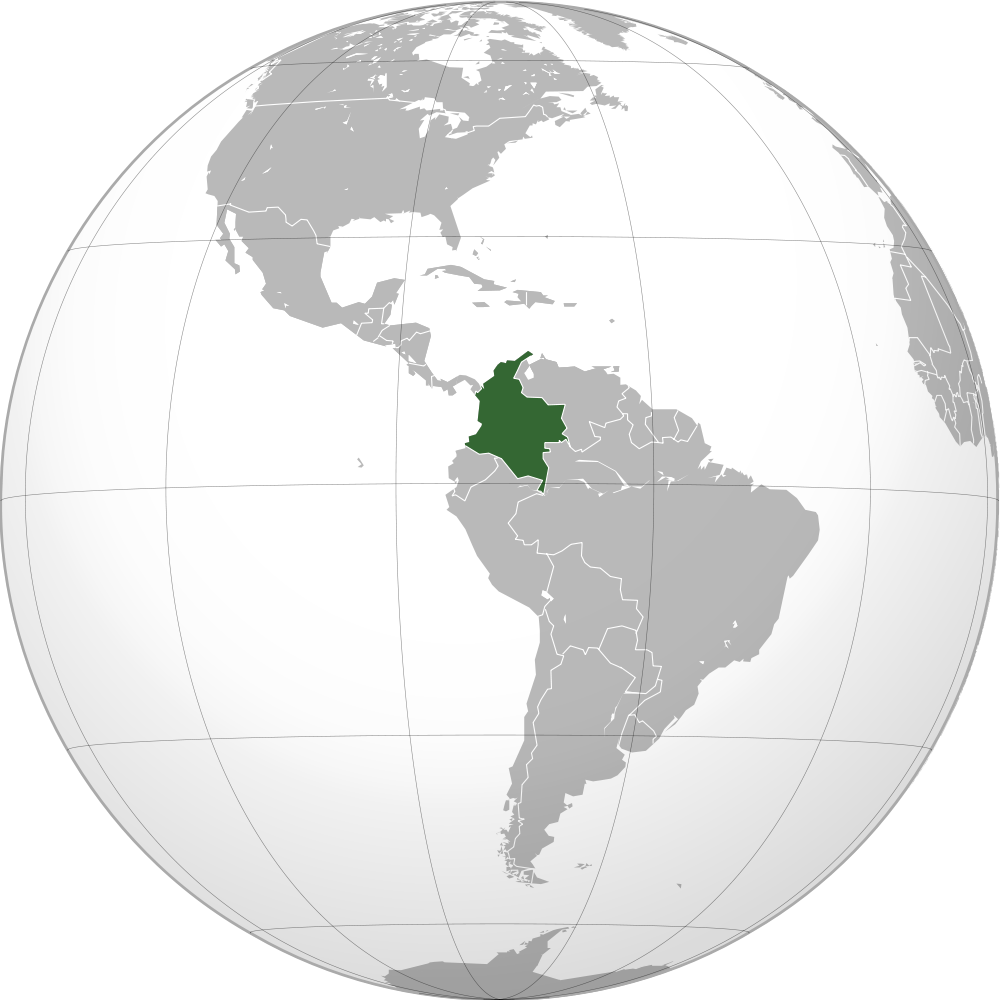
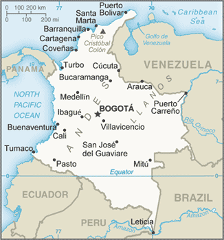
This map shows the Andes within Colombia. The mountain range splits into three ranges giving the country large amounts of land at differing altitudes. Thai makes Colombia an ideal place to grow crops such as coffee, bananas, rice, corn, sugarcane, and beans. Flowers and tobacco are also grown in abundance.
Visible on this map just to the north and not connected to the Andes is the Sierra Nevada de Santa Marta, the highest coastal mountain range in the world. At 5,700m high, there is debate as to whether Pico Simón Bolívar or Pico Cristóbal Colón is the highest peak.
The two highest peaks are the fifth and sixth most prominent peaks in the world. Prominence refers to height difference between the valley floor up to the peak.

