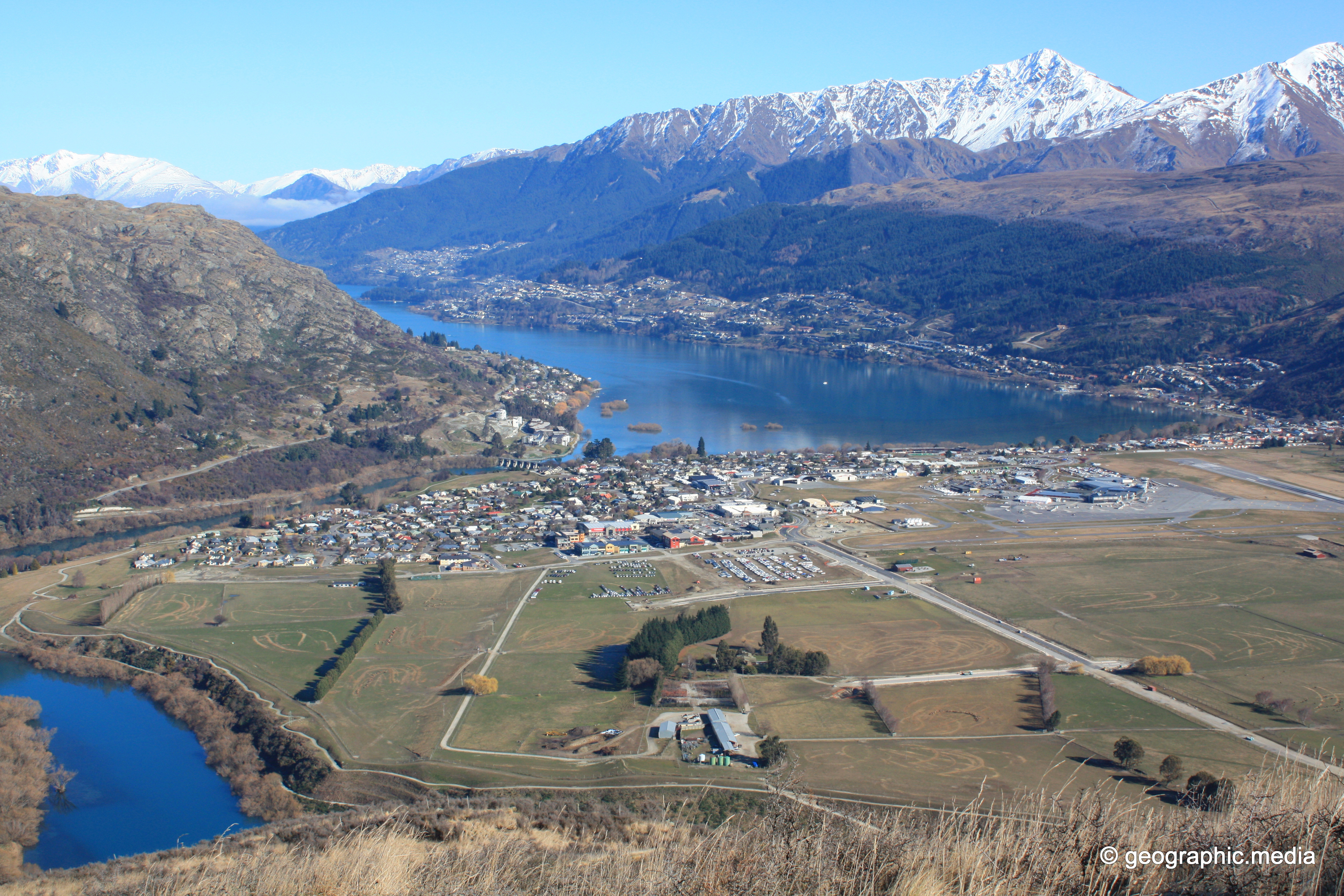
View from Windy Point on the Remarkables Range looking down at Kawarau River,Frankton Arm, and Queenstown. Windy Point is...
Windy Point Vista
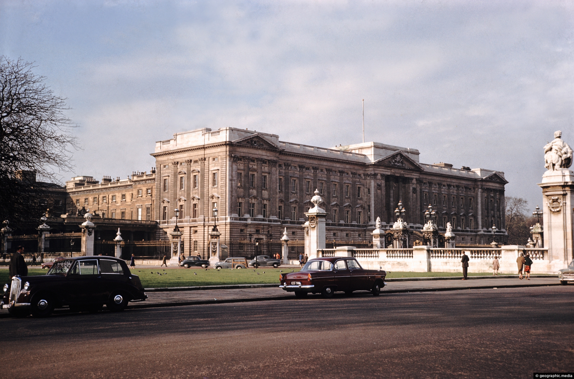
Buckingham Palace in London
London photos, Buildings, Cars, Cities, Landscape / Horizontal, Monuments, RoadsView of Buckingham Palace in the City of Westminster in the year 1960. The City of Westminster is wholly...
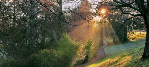
Sunbeams filter through some trees at Trentham Memorial Park in Upper Hutt. These rays are known as crepuscular rays.
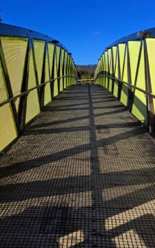
Pukeatua Bridge in Wainuiomata crosses Wainuiomata Road at its highest point, 189 meters above sea level. This places the...
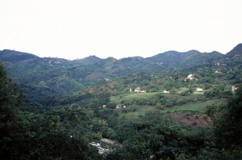
Farming is an important industry in the municipality of Anapoima, Colombia. The area is known for its agricultural production,...
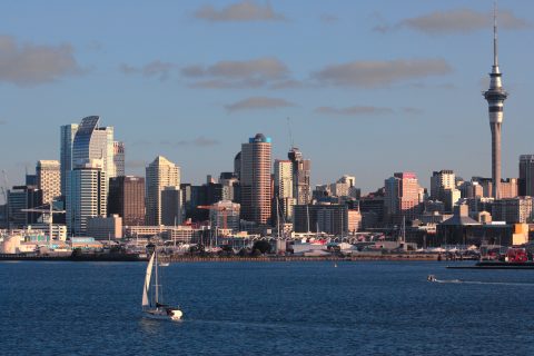
Evening light in Auckland City
Auckland photos, Boats, Buildings, Cities, Landscape / Horizontal, SeaEvening light reflecting off the Auckland city skyline with a yacht in the harbor.
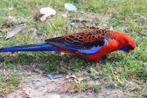
A crimson rosella foraging for food in The Grampians, Victoria. This species consists of seven subspecies. As the name...
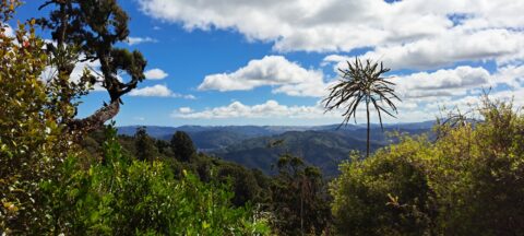
Observing the hills leading towards Wainuiomata from the summit of a ridge in the Remutaka Range, precisely along the...
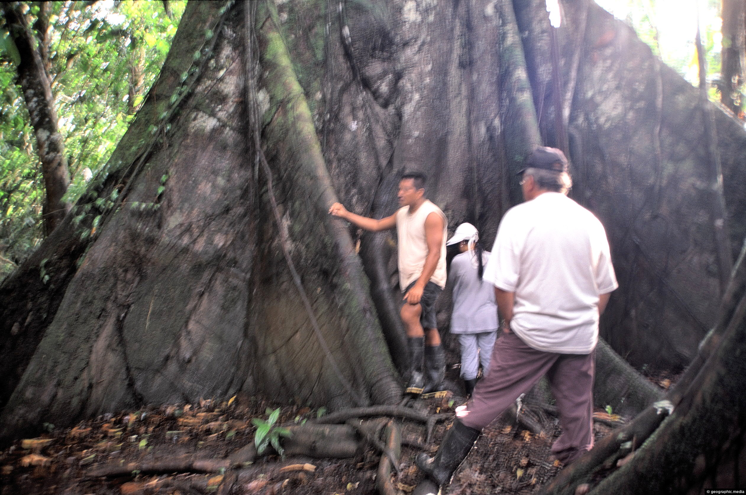
These visitors to the Amazon provide scale for this large buttress root system. Trees are usually deep rooted to...
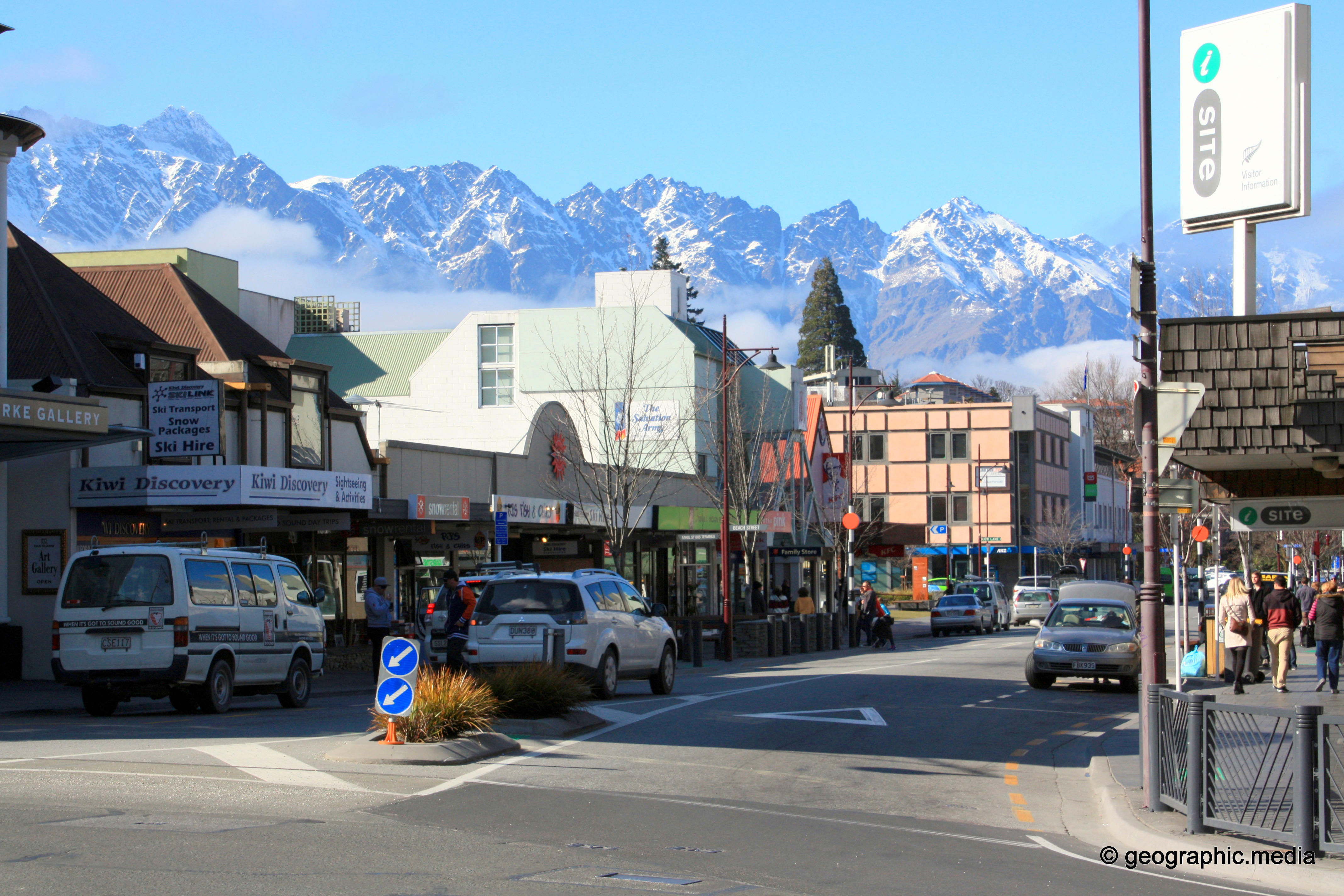
Brecon Street Queenstown
Queenstown photos, Buildings, Landscape / Horizontal, Mountains, Roads, Shops, Snow, TownsView of Brecon Street in Queenstown with the Remarkables mountain range in the background.
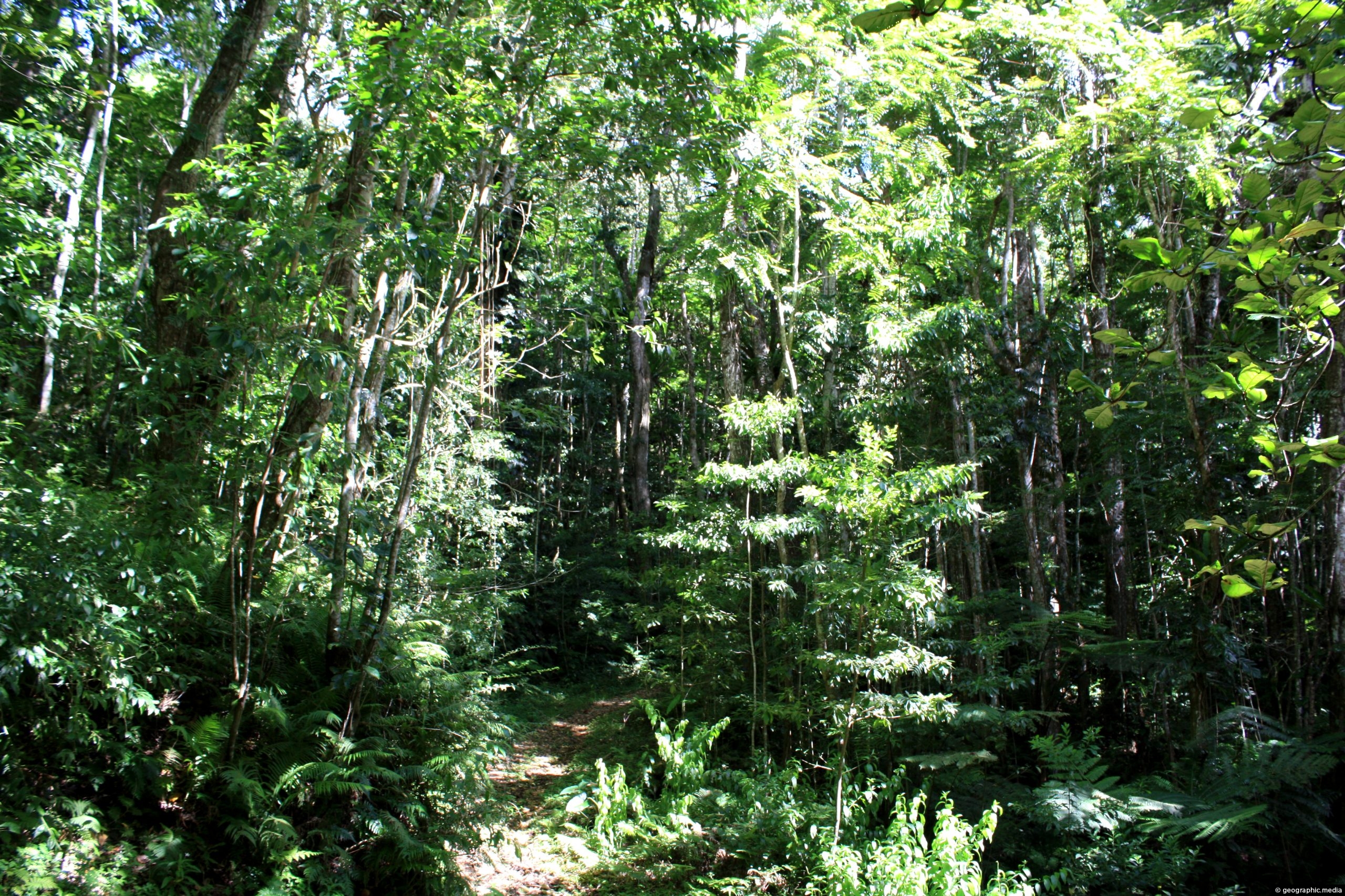
Looking at a rain forest near the center of Eua Island. The forest contains a proliferation of cedars and...
Hope Street looking at a sculpture called “Ulysses” by Alexander Liberman. The two buildings either side house the Chase...
Calendar
| M | T | W | T | F | S | S |
|---|---|---|---|---|---|---|
| 1 | 2 | 3 | 4 | |||
| 5 | 6 | 7 | 8 | 9 | 10 | 11 |
| 12 | 13 | 14 | 15 | 16 | 17 | 18 |
| 19 | 20 | 21 | 22 | 23 | 24 | 25 |
| 26 | 27 | 28 | 29 | 30 | 31 | |
Popular Posts
- Awakening New Zealand video (100)
- Iguazu Falls as seen from Brazil (87)
- Metrocable Medellin (78)
- Pauatahanui Inlet (69)
- Spinnaker Hill View (68)
- Spinnaker Hill in Whitby Porirua (68)
- View from Whitby (68)
- The Devil’s Throat (62)
- Aerial View of Iguazu Falls (61)
- Porirua Harbour & Papakowhai (57)
- Lake Wakatipu (57)
- Salto Rivadavia & Iguassu River (56)
- Lake Tekapo & Lupins (54)
- Nelson View (53)
- Salto Rivadavia Misiones Province (53)
- Cascadas at Iguazu (53)

Recent Comments