
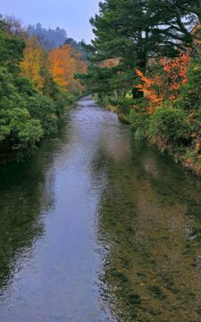
Autumn colors at Wainuiomata River, viewed from Main Road Bridge. The river, the principal waterway of Wainuiomata, flows through...
Autumn Colors & Wainuiomata River
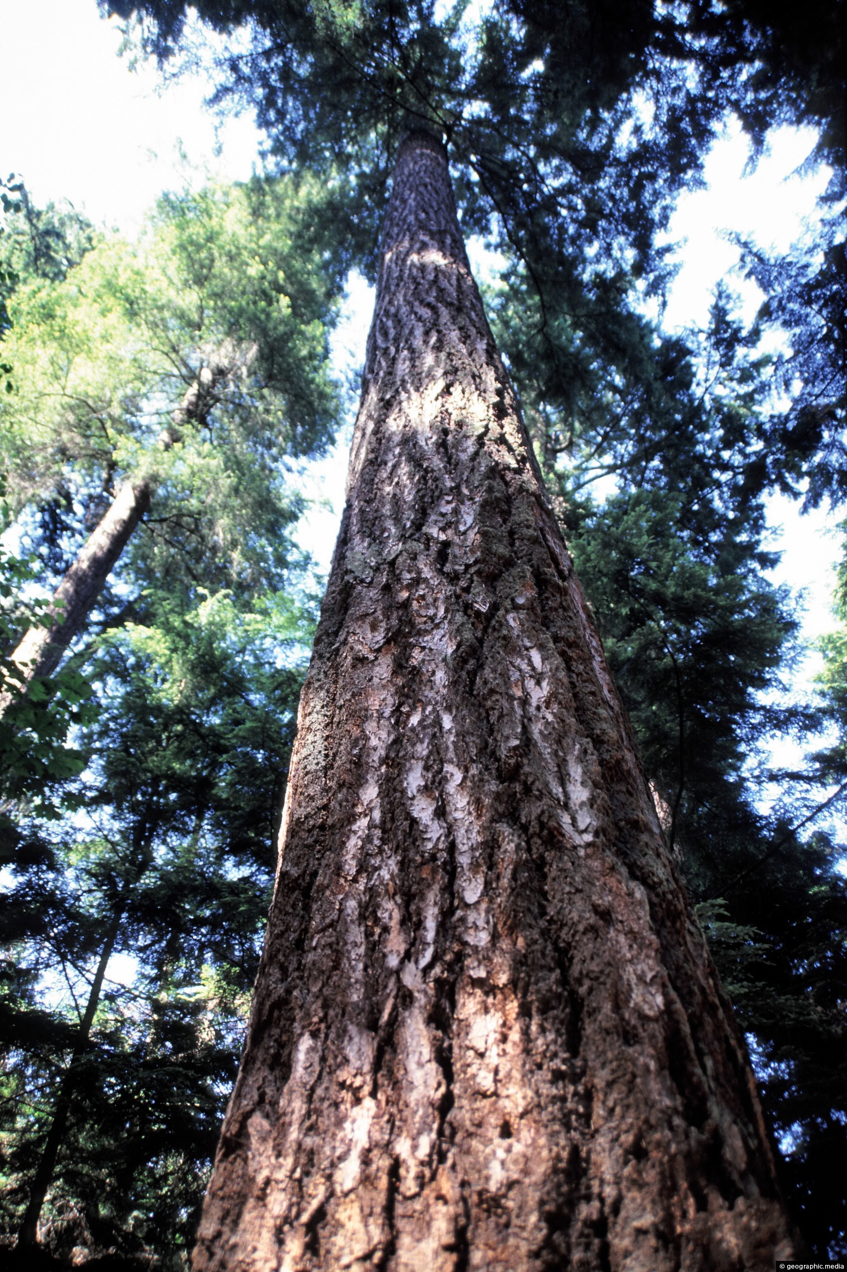
Douglas Fir can reach as high as 120 meters high. They are the second tallest conifer in the world...
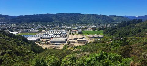
Looking down over Upper Hutt from Wallaceville Road, which leads to Whitemans Valley. Maidstone Park is visible on the...
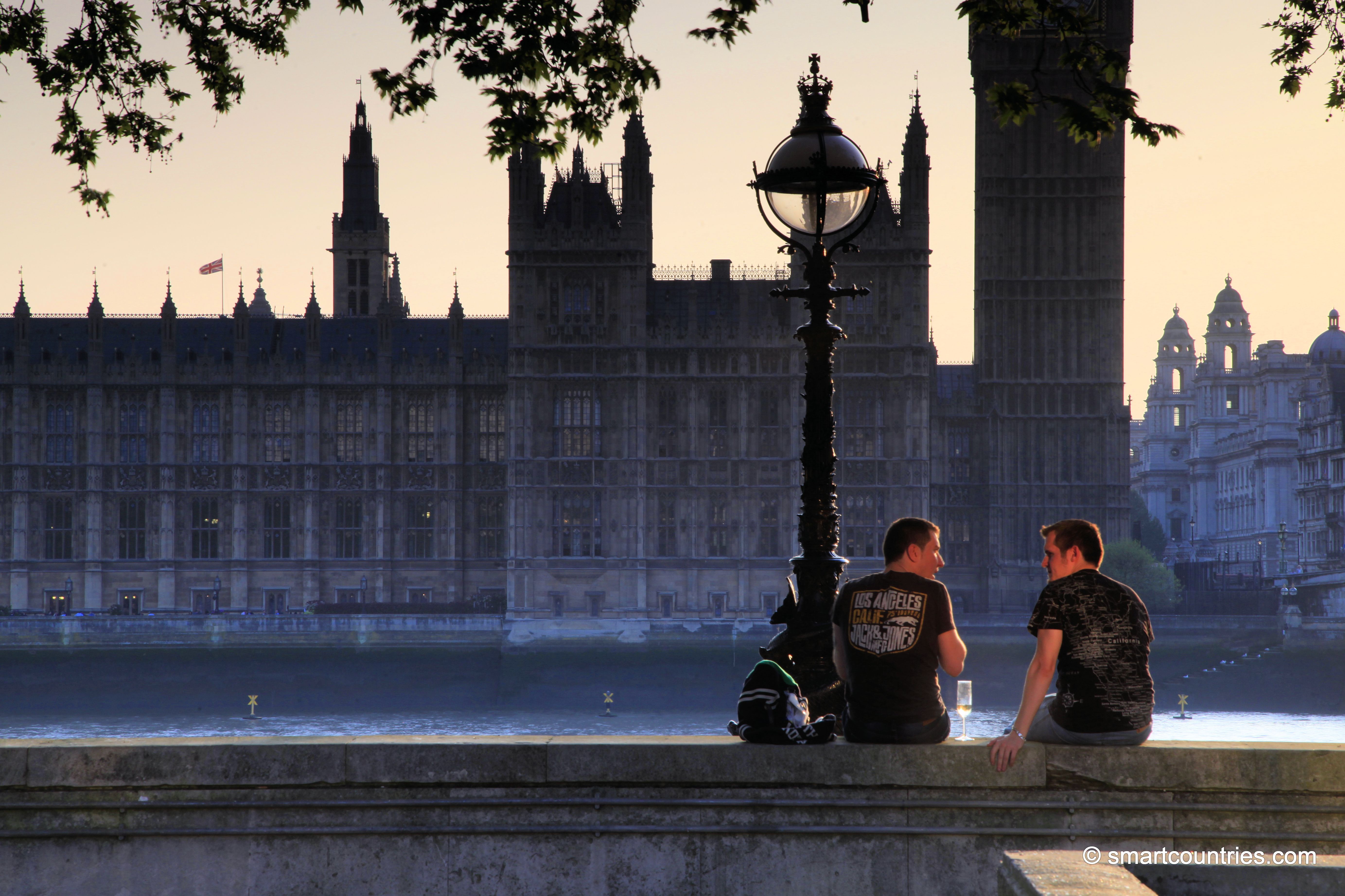
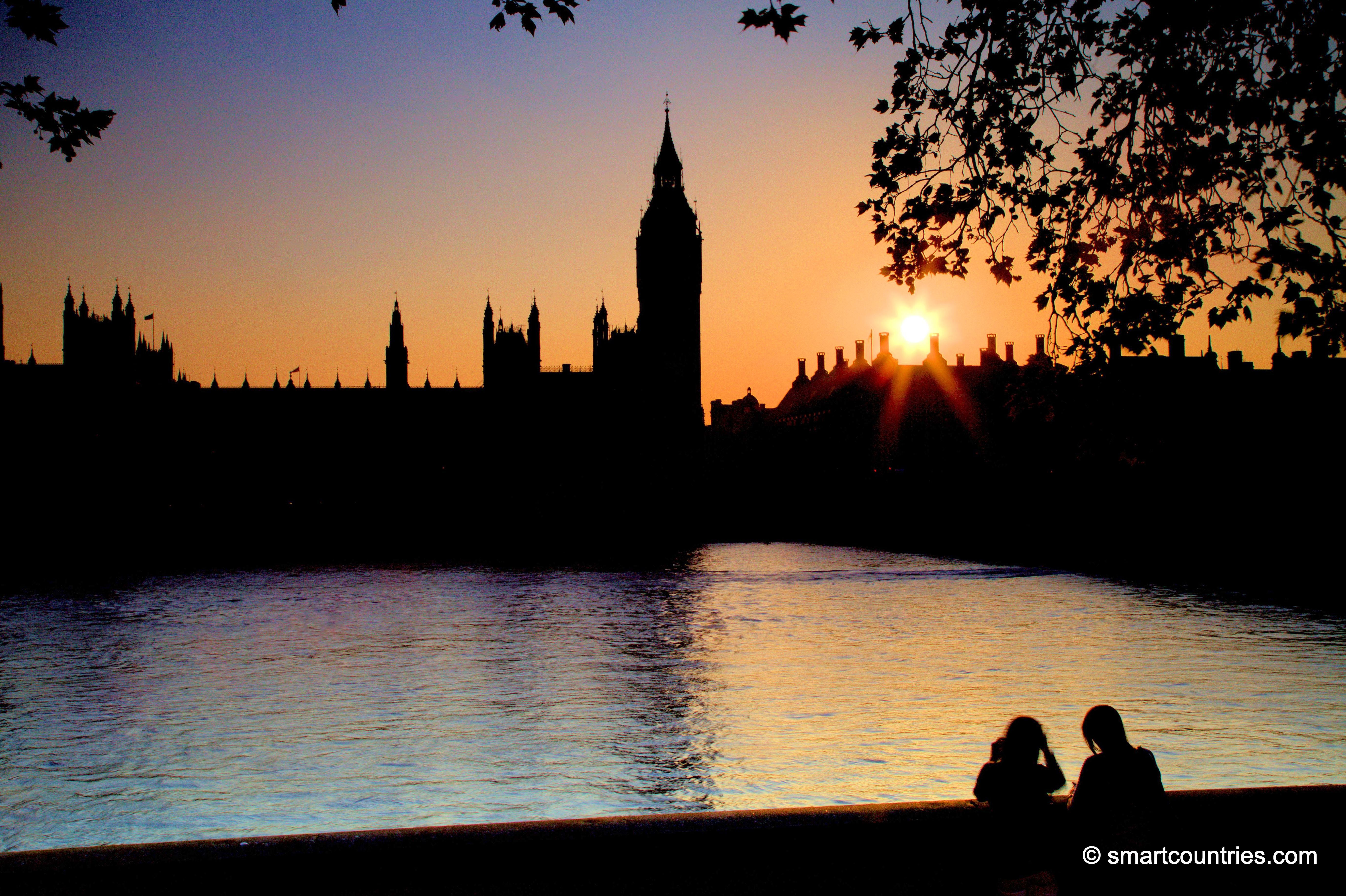
Timeout on the Thames. Friends conversing in front of the River Thames and the Palace of Westminster.
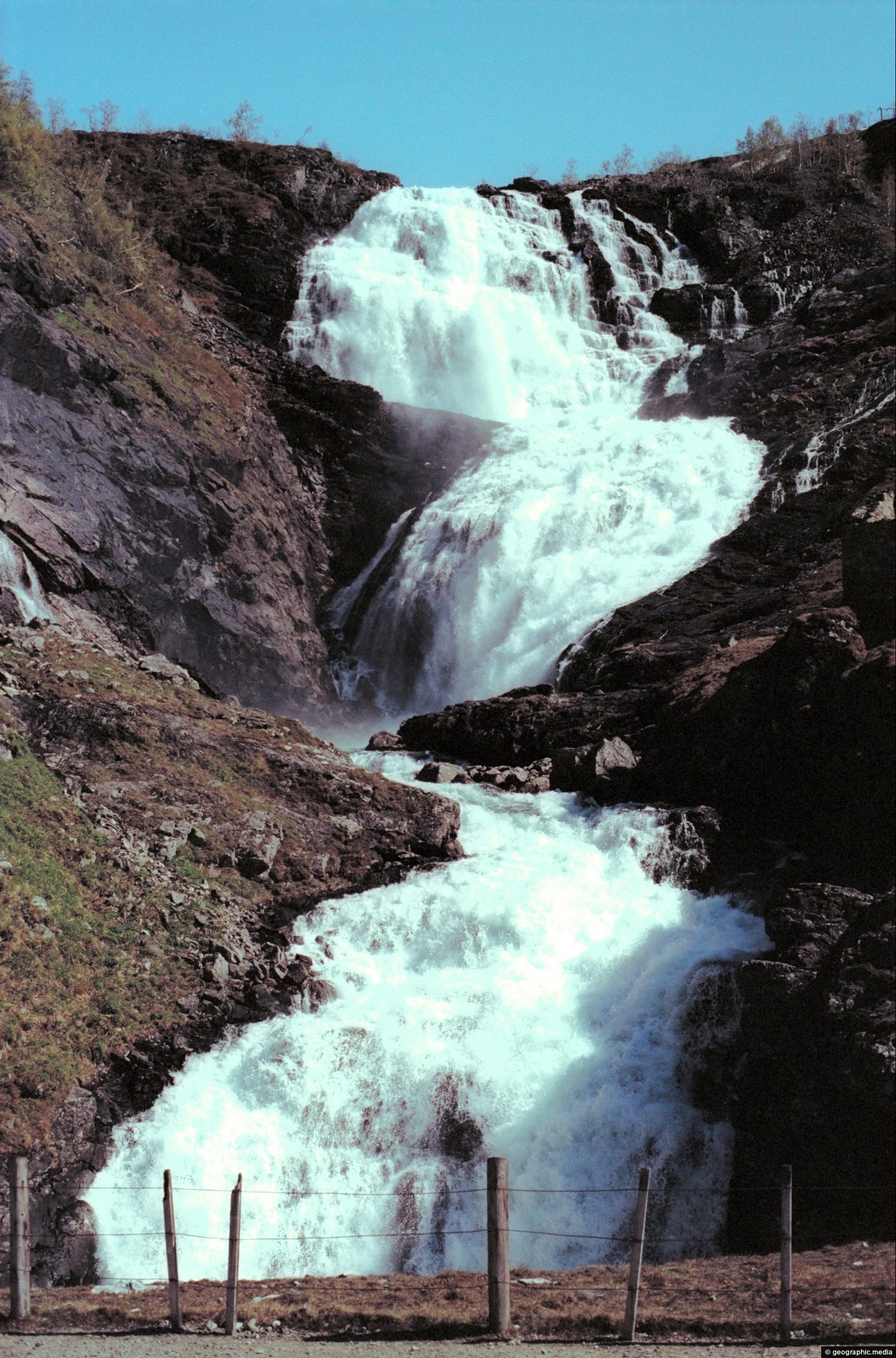
Directly behind the tourist village of Geiranger lies the powerful Grinddalsfossen waterfall. It starts at 660 meters above Geiranger...
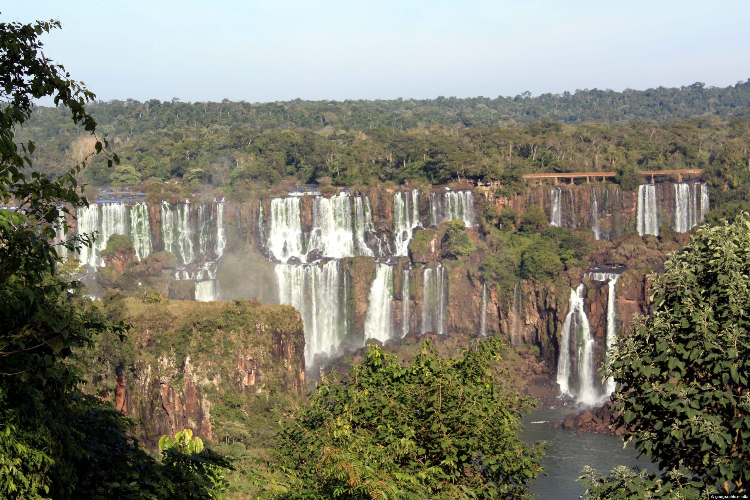
View of Salto Rivadavia a group of cataracts (waterfalls) within the subtropical rain forest that the park is situated...
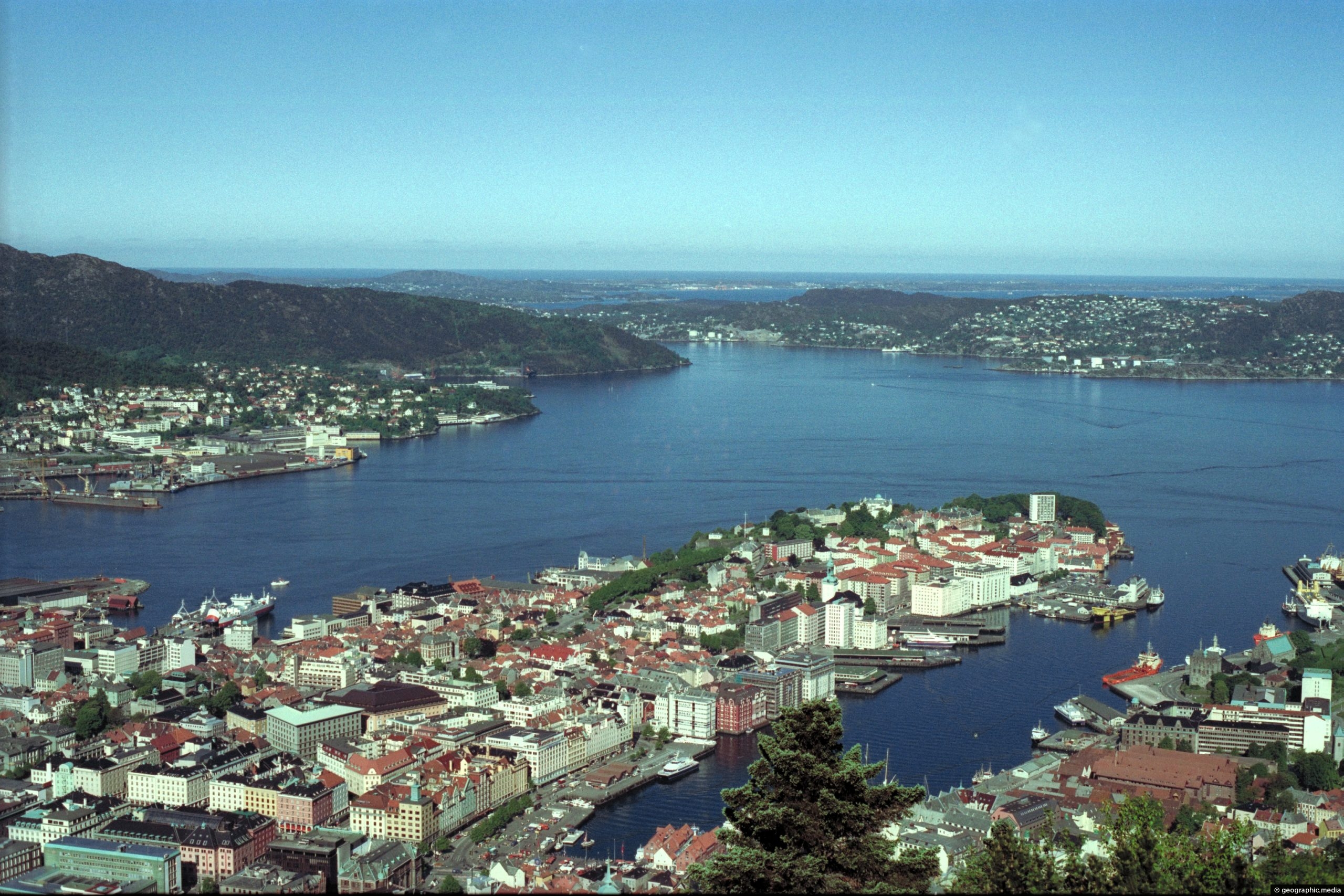
Aerial view of Vagen Harbor and Port in the Norwegian city of Bergen. The harbor is the southern terminus...

What is it like travelling through Syria today? Take a look at Damascus, Aleppo, and Homs in the year...
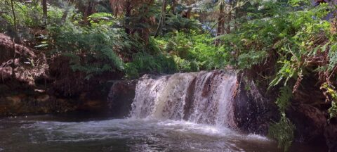
Kerosene Creek is a natural hot spring and thermal stream located about 30 minutes south of Rotorua, New Zealand....
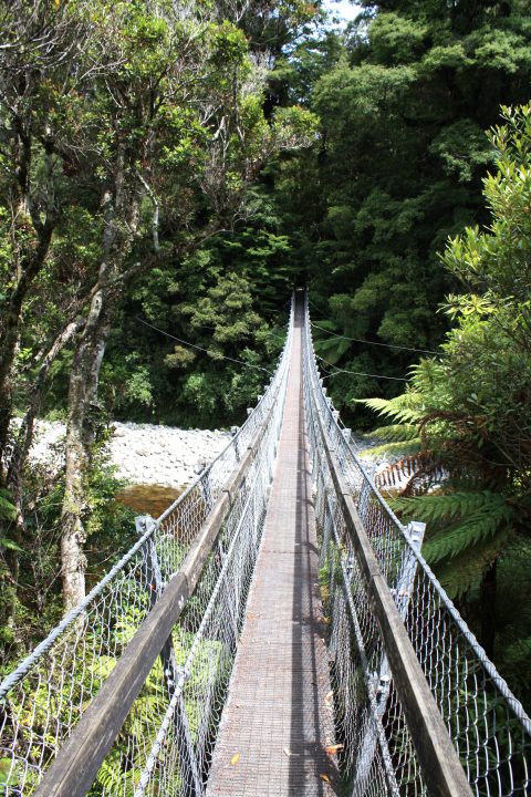
View of the swing bridge at the Rivendell carpark in Kaitoke Regional Park near Upper Hutt. The bridge takes...

Recent Comments