
Interactive Google street map of Nuku’alofa, the capital of Tonga. Switch to satellite mode and explore the coastline or navigate through the streets. Lookout for famous landmarks on the way.
Nukualofa Google Map
This post has been viewed 3,415 times
Related Articles
-
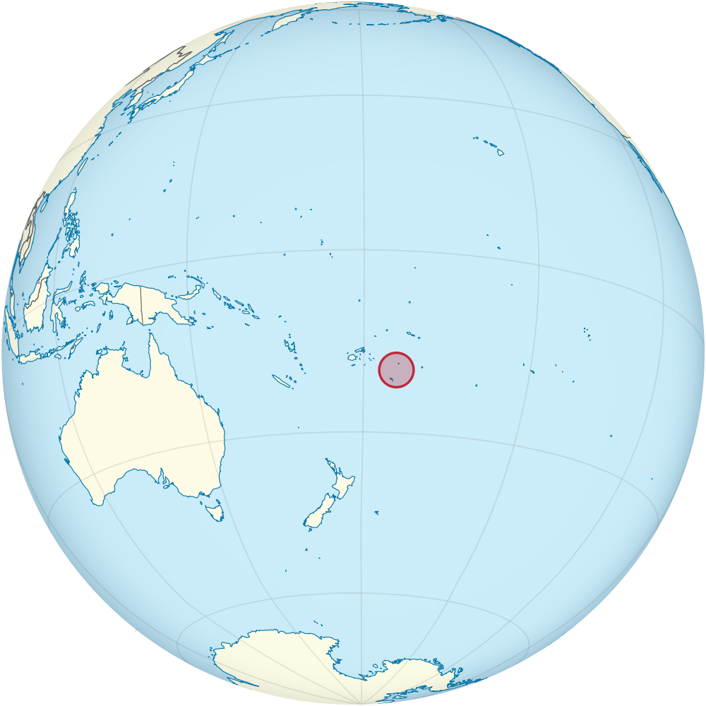
Tonga Location Map
Global map perspective showing the location of Tonga in the South Pacific. East of Australia and north of New...
-
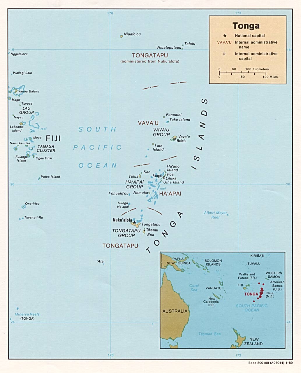
Tonga Islands Map
Map showing the islands of Tonga, its three island groups, and Tonga’s place in the South Pacific Ocean.
0 Comments
