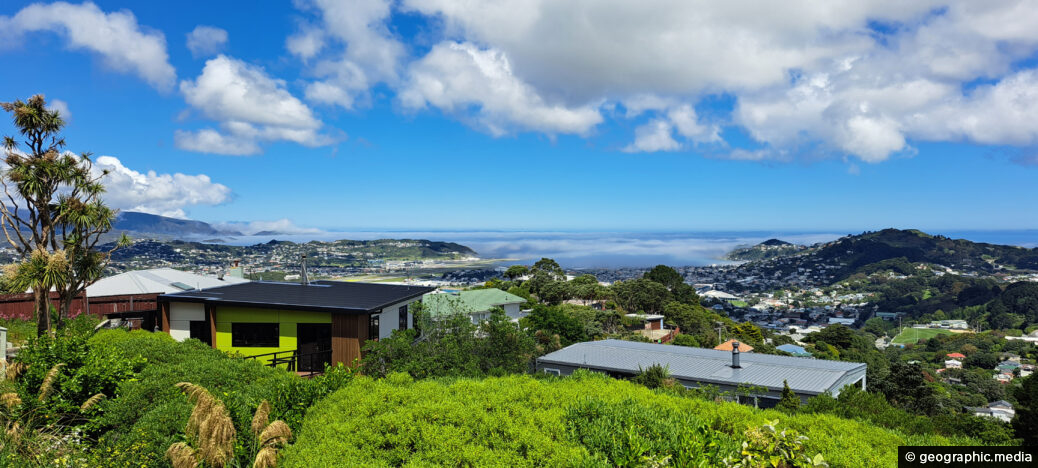
Looking at the airport and South Coast of Wellington being slowly enveloped in fog from the Cook Strait. There is an annual average of six fogs at Wellington Airport per year which often shut the service down.
ALL / Explore Oceania / Explore New Zealand / New Zealand Photos / Wellington photos / Sea fog Rolling Into Wellington
All original royalty-free photos, shareable maps, and informative articles.
Sea fog Rolling Into Wellington
Page Views
This post has been viewed 707 times
Related Articles
-
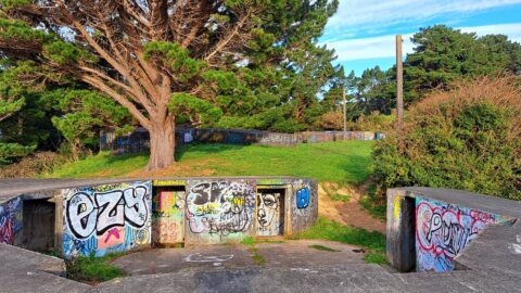
Massey Memorial Bunkers
Wellington photos, Bunkers, Extra Wide Horizontal
Massey Memorial bunkers in Miramar were built in 1885 as a response to the Crimean War and the expanding...
-
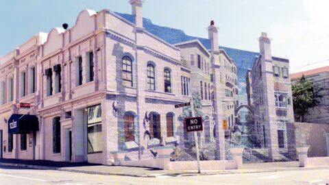
Il Casino Wellington
Wellington photos, Art, Buildings, Cities, Restaurant
Il Casino restaurant circa 1989. The restaurant stood out due to the wall painting (trompe l’oeil). Il Casino underwent...
-
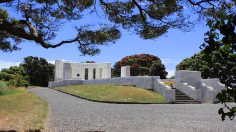
Massey Memorial Wellington
Wellington photos, Landscape / Horizontal, Memorial
Massey Memorial is a mausoleum located in Wellington, New Zealand dedicated to the memory of former Prime Minister of...
-
Mount Victoria View of Wellington 1990
Wellington photos, Buildings, Buses, Cities, Forests, Landscape / Horizontal, Sea, Skyscrapers
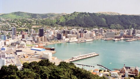
Mount Victoria view of Wellington city and harbor, circa 1990. The Wellington Bus Terminus is in view. Today, a...
-
Beehive Building in Black & White
Wellington photos, Black and White, Buildings, Extra Wide Horizontal, Government
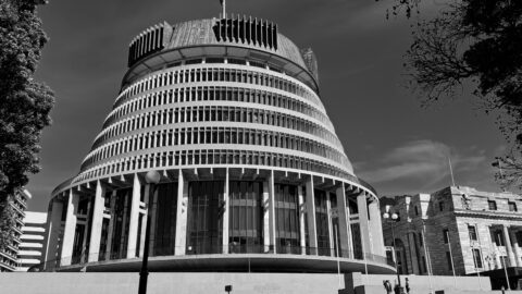
Wellington’s iconic architectural building, known as the Beehive is the Executive Wing of Parliament. The building stands proudly in...
-
Old Government Buildings
Wellington photos, Buildings, Extra Wide Horizontal, Government
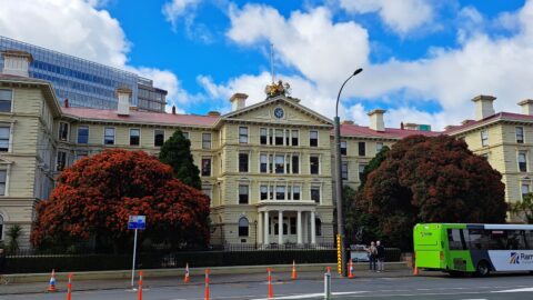
Located opposite Parliament, New Zealand’s ex-Government buildings stand proudly within the Government Buildings Historic Reserve. This impressive building, erected...
-
Bowen Campus Wellington
Wellington photos, Buildings, Extra Wide Horizontal
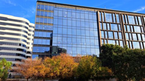
Looking at Bowen Campus on Bowen Street in Wellington. It is the location for the Ministry of Defence and...
-
Oriental Bay Harbor View
Wellington photos, Beaches, Sea
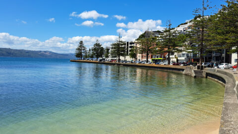
Looking at Wellington Harbour from Oriental Bay. The trees in view are Norfolk Pines which are native to Norfolk...
0 Comments
Calendar
| M | T | W | T | F | S | S |
|---|---|---|---|---|---|---|
| 1 | ||||||
| 2 | 3 | 4 | 5 | 6 | 7 | 8 |
| 9 | 10 | 11 | 12 | 13 | 14 | 15 |
| 16 | 17 | 18 | 19 | 20 | 21 | 22 |
| 23 | 24 | 25 | 26 | 27 | 28 | 29 |
| 30 | ||||||
Popular Posts
- Awakening New Zealand video (100)
- Iguazu Falls as seen from Brazil (87)
- Metrocable Medellin (78)
- Pauatahanui Inlet (69)
- Spinnaker Hill View (68)
- Spinnaker Hill in Whitby Porirua (68)
- View from Whitby (68)
- The Devil’s Throat (62)
- Aerial View of Iguazu Falls (61)
- Porirua Harbour & Papakowhai (57)
- Lake Wakatipu (57)
- Salto Rivadavia & Iguassu River (56)
- Lake Tekapo & Lupins (54)
- Nelson View (53)
- Salto Rivadavia Misiones Province (53)
- Cascadas at Iguazu (53)
Subjects
AccommodationAnimalsArchitectureBeachesBirdsBoatsBridgesBuildingsCarsChurchesCitiesCoralCultureExtra Wide HorizontalFlowersForestsHarborsHomesIslandsLakesLandscape / HorizontalMapsMenMonumentsMountainsPalmsParksPeoplePlantsPortrait / VerticalRiversRoadsRuralSeaShopsSkyscrapersSnowSunsetsTownsTrailsTransportTreesVideosVolcanicWaterfalls
Recent Comments
- Lance on Concrete Hut Wainuiomata
- Tony on Concrete Hut Wainuiomata
- DavidJ on Wellington Night Skyline
- Ben on Auckland City Skyline from Westhaven Marina in 1998
- Ben on Auckland Harbour Bridge view

