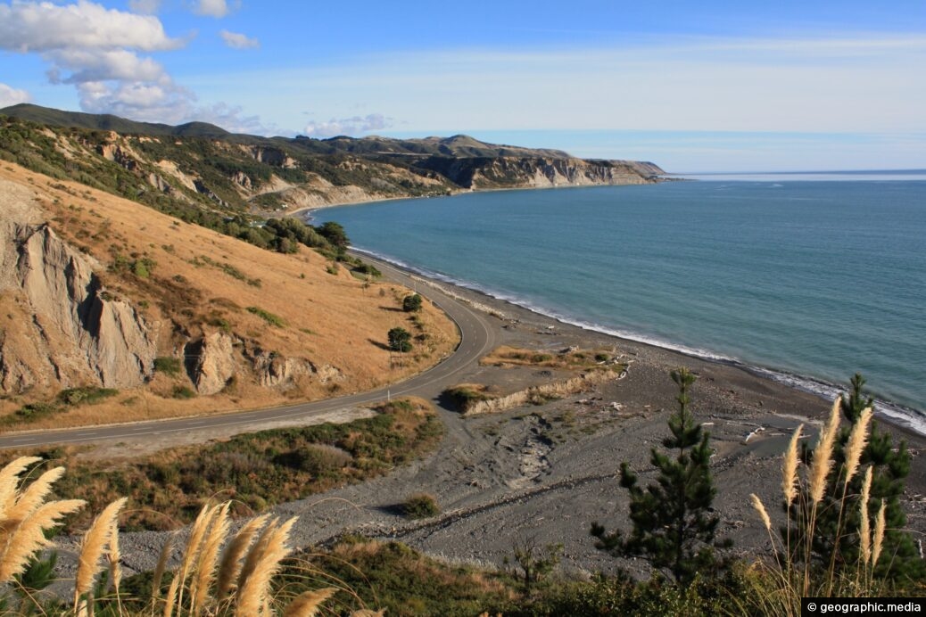
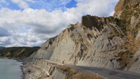
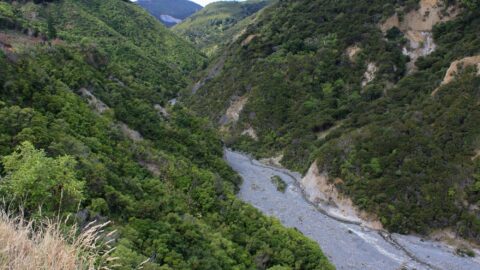
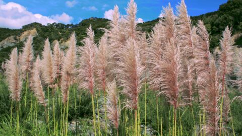
View of Palliser Bay with Otakaha Stream flowing into the bay below. The unusual tall plants in the foreground are toetoe, which are grasses native to New Zealand .
ALL / Explore Oceania / Explore New Zealand / New Zealand Photos / Wairarapa photos / Palliser Bay & Otakaha Stream
All original royalty-free photos, shareable maps, and informative articles.
Palliser Bay & Otakaha Stream
Page Views
This post has been viewed 199 times
Related Articles
-
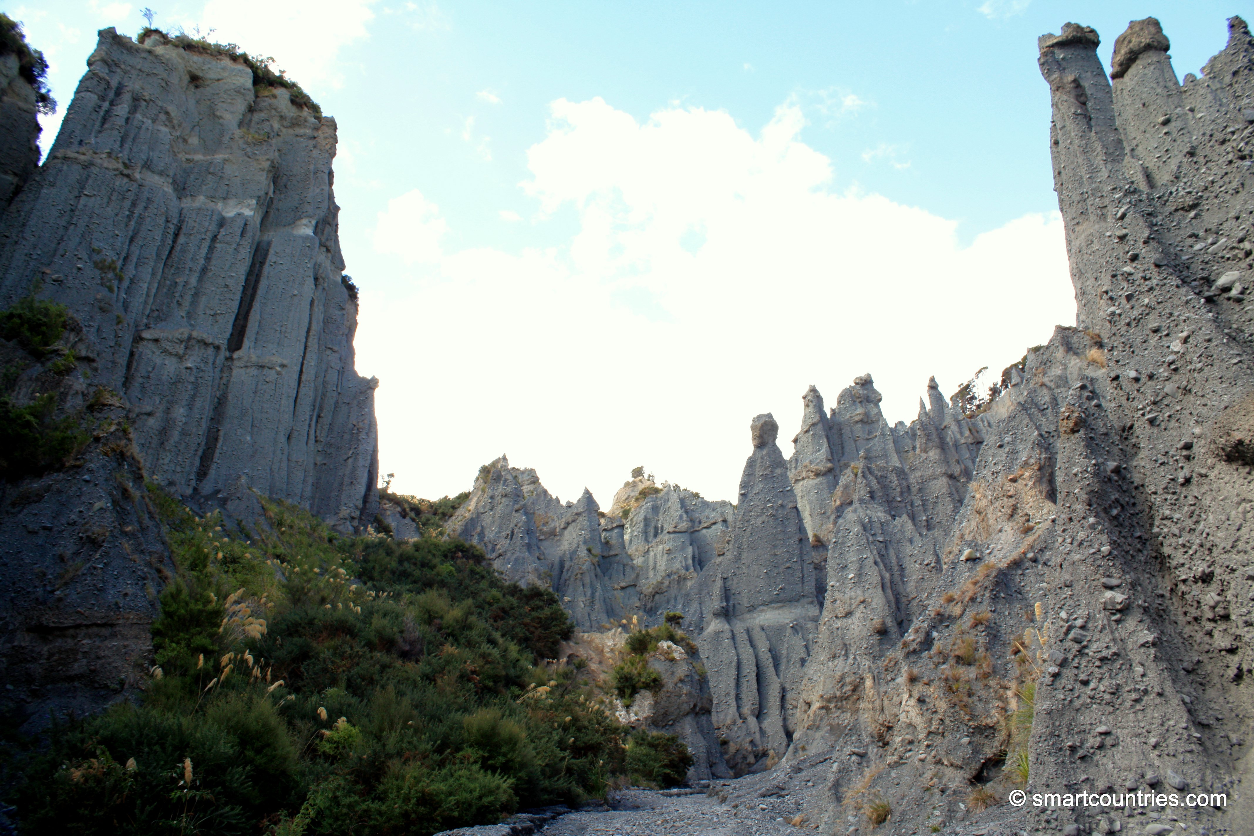
Putangirua Pinnacles View
Wairarapa photos, Badlands, Canyons, Cliffs, Landscape / Horizontal
View of the Putangirua Pinnacles in southern Wairarapa, New Zealand. This unusual geological formation is a major attraction in...
-
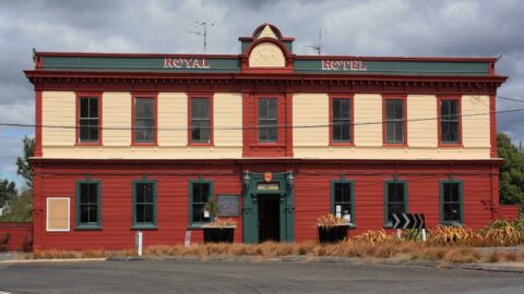
Royal Hotel in Featherston
Wairarapa photos, Buildings, Landscape / Horizontal, Towns
The Royal Hotel, situated at 22 Revans Street in Featherston, is a historic establishment nestled in the Wairarapa region....
-
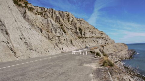
Eroded Limestone Coastal Cliff
Wairarapa photos, Beaches, Cliffs, Landscape / Horizontal
A weathered limestone cliff along the Palliser Bay Road in Wairarapa offers a picturesque view. This coastal route leads...
-
Whatarangi Bluff
Wairarapa photos, Beaches, Cliffs, Landscape / Horizontal
Whatarangi Bluff is a notable geological feature located in the Wairarapa region of New Zealand. This eroded limestone cliff...
-
Featherston
Wairarapa photos, Buildings, Landscape / Horizontal, Towns
View of Featherston in the Wairarapa district. The town is a medium sized rural settlement meeting the needs of...
-
Otakaha Stream
Wairarapa photos, Landscape / Horizontal, Rivers
The Otakaha Stream flows through Aorangi Forest Park, close to the township of Ngawi. Cape Palliser Road hasa bridge...
-
Toetoe at Putangirua Pinnacles
Wairarapa photos, Landscape / Horizontal, Plants
Toetoe, refers to a genus of tall, tussock-forming grass native to New Zealand. It is characterized by its bronze...
-
Greytown
Wairarapa photos, Buildings, Cars, Landscape / Horizontal, Towns, Transport
Greytown in New Zealand is a historic town in the Wairarapa region. It is located on State Highway 2...
0 Comments
Calendar
| M | T | W | T | F | S | S |
|---|---|---|---|---|---|---|
| 1 | ||||||
| 2 | 3 | 4 | 5 | 6 | 7 | 8 |
| 9 | 10 | 11 | 12 | 13 | 14 | 15 |
| 16 | 17 | 18 | 19 | 20 | 21 | 22 |
| 23 | 24 | 25 | 26 | 27 | 28 | 29 |
| 30 | ||||||
Popular Posts
- Awakening New Zealand video (100)
- Iguazu Falls as seen from Brazil (87)
- Metrocable Medellin (78)
- Pauatahanui Inlet (69)
- Spinnaker Hill in Whitby Porirua (68)
- Spinnaker Hill View (68)
- View from Whitby (68)
- The Devil’s Throat (62)
- Aerial View of Iguazu Falls (61)
- Porirua Harbour & Papakowhai (57)
- Lake Wakatipu (57)
- Salto Rivadavia & Iguassu River (56)
- Lake Tekapo & Lupins (54)
- Nelson View (53)
- Salto Rivadavia Misiones Province (53)
- Cascadas at Iguazu (53)
Subjects
AccommodationAnimalsArchitectureBeachesBirdsBoatsBridgesBuildingsCarsChurchesCitiesCoralCultureExtra Wide HorizontalFlowersForestsHarborsHomesIslandsLakesLandscape / HorizontalMapsMenMonumentsMountainsPalmsParksPeoplePlantsPortrait / VerticalRiversRoadsRuralSeaShopsSkyscrapersSnowSunsetsTownsTrailsTransportTreesVideosVolcanicWaterfalls
Recent Comments
- Lance on Concrete Hut Wainuiomata
- Tony on Concrete Hut Wainuiomata
- DavidJ on Wellington Night Skyline
- Ben on Auckland City Skyline from Westhaven Marina in 1998
- Ben on Auckland Harbour Bridge view

