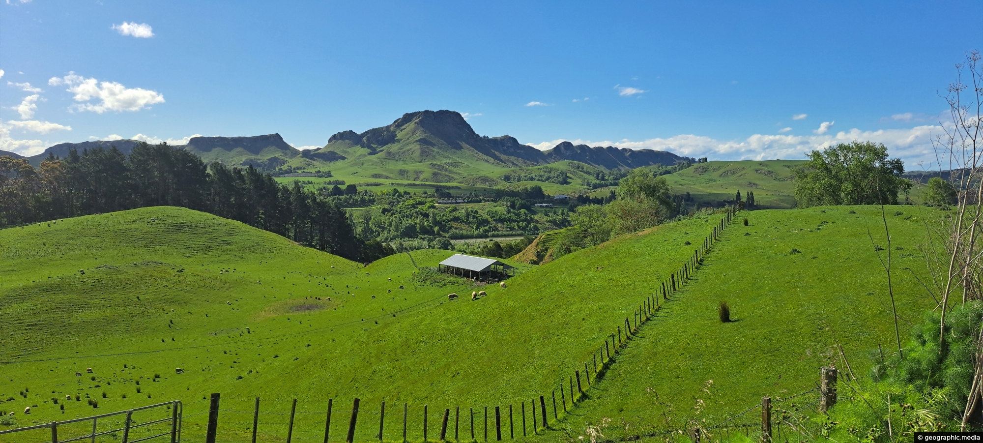
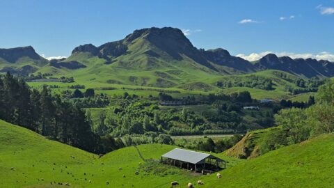
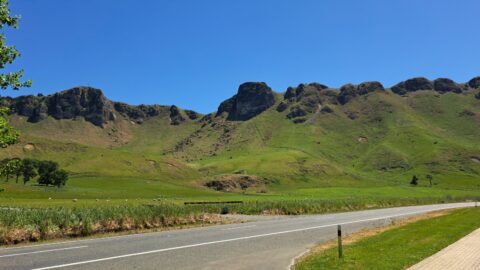
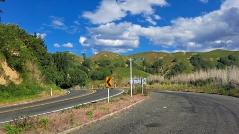
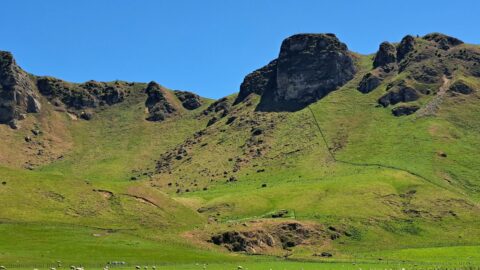
A view of lush farmland surrounds Te Mata Peak in Hawke’s Bay, New Zealand. Renowned for its fertile land, the region supports a wide variety of agricultural activities. Its temperate climate and well-drained soils provide ideal conditions for viticulture, establishing it as one of New Zealand’s leading wine-producing areas.
ALL / Explore Oceania / Explore New Zealand / New Zealand Photos / Te Mata Peak / Farmland and Te Mata Peak
All original royalty-free photos, shareable maps, and informative articles.
Farmland and Te Mata Peak
Page Views
This post has been viewed 60 times
Related Articles
-
View of Te Mata Peak
Te Mata Peak, Extra Wide Horizontal, Mountains, Rural
Te Mata Peak stands at 399 metres (1,309 feet), offering sweeping views of Hawke’s Bay. From its summit, visitors...
-
Te Mata Peak from Mt Erin Lookout
Te Mata Peak, Extra Wide Horizontal, Mountains, Rural
From the Mount Erin Lookout, located just outside Havelock North along Waimārama Road, you can enjoy spectacular views of...
-
Mt Erin Lookout on Waimarama Road
Te Mata Peak, Extra Wide Horizontal, Mountains, Rural
Mount Erin Lookout, located along Waimarama Road near Havelock North in Hawke’s Bay, offers stunning vistas of the surrounding...
-
Waimarama Road & Te Mata Peak
Te Mata Peak, Mountains, Roads, Rural
Waimarama Road itself is a scenic drive that passes through rolling farmland, orchards, and vineyards, showcasing the agricultural richness...
-
Waimarama Road
Te Mata Peak, Roads, Rural, Trees
Waimarama Road and Te Mata Peak are closely connected as part of the stunning landscape of Hawke’s Bay, New...
0 Comments
Calendar
M | T | W | T | F | S | S |
---|---|---|---|---|---|---|
1 | 2 | |||||
3 | 4 | 5 | 6 | 7 | 8 | 9 |
10 | 11 | 12 | 13 | 14 | 15 | 16 |
17 | 18 | 19 | 20 | 21 | 22 | 23 |
24 | 25 | 26 | 27 | 28 |
Popular Posts
- Awakening New Zealand video (100)
- Iguazu Falls as seen from Brazil (87)
- Metrocable Medellin (78)
- Pauatahanui Inlet (69)
- Spinnaker Hill in Whitby Porirua (68)
- Spinnaker Hill View (68)
- View from Whitby (68)
- The Devil’s Throat (62)
- Aerial View of Iguazu Falls (61)
- Porirua Harbour & Papakowhai (57)
- Lake Wakatipu (57)
- Salto Rivadavia & Iguassu River (56)
- Lake Tekapo & Lupins (54)
- Nelson View (53)
- Salto Rivadavia Misiones Province (53)
- Cascadas at Iguazu (53)
Subjects
AccommodationAnimalsArchitectureBeachesBirdsBoatsBridgesBuildingsCarsChurchesCitiesCoralCultureExtra Wide HorizontalFlowersForestsHarborsHomesIslandsLakesLandscape / HorizontalMapsMenMonumentsMountainsPalmsParksPeoplePlantsPortrait / VerticalRiversRoadsRuralSeaShopsSkyscrapersSnowSunsetsTownsTrailsTransportTreesVideosVolcanicWaterfalls
Recent Comments
- Lance on Concrete Hut Wainuiomata
- Tony on Concrete Hut Wainuiomata
- DavidJ on Wellington Night Skyline
- Ben on Auckland City Skyline from Westhaven Marina in 1998
- Ben on Auckland Harbour Bridge view