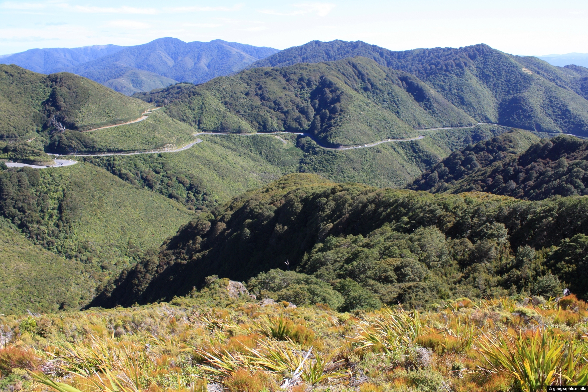
View of the Remutaka Hill Road as seen from the Tararua range. This road separates the Tararua range from the Remutaka range.
Click Jigshare icon to turn the image into a jigsaw. Or click on photo to download or view full screen image.

View of the Remutaka Hill Road as seen from the Tararua range. This road separates the Tararua range from the Remutaka range.
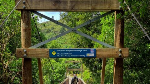
Birchville Suspension Bridge takes you inside Akatarawa Forest. The bridge is a starting or finishing point on the walk...
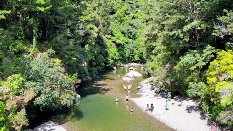
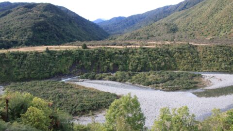
The Pākuratahi River is a river located in the lower North Island of New Zealand. The river runs through...
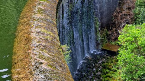
The Cannon Point and Birchville Dam trail is a captivating 90-minute hike through the scenic hills north of Upper...
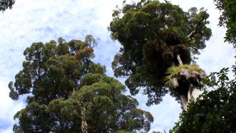
Rata is a common name for several species of trees in the myrtle family, Myrtaceae, that are native to...
Looking at the Otaki River with the Tararua mountains in the background. Photo was taken at Otaki Forks on...
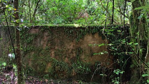
This water tank is located in the Akatarawa Forest. It was associated with Birchville Dam which was decommissioned in...
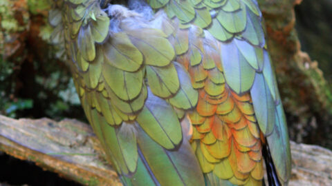
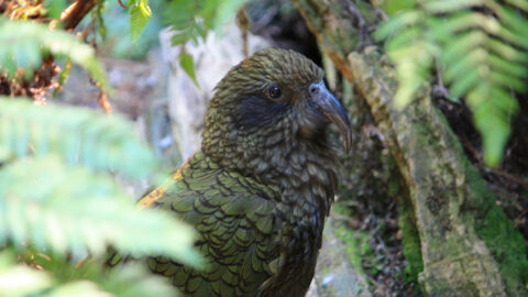
Close up view in Staglands Wildlife Reserve of a resting kea showing his stunning plumage. Underneath the bird has...
Kea are are related to the kaka which look similar but are more brown in colour. This kea was photographed...
