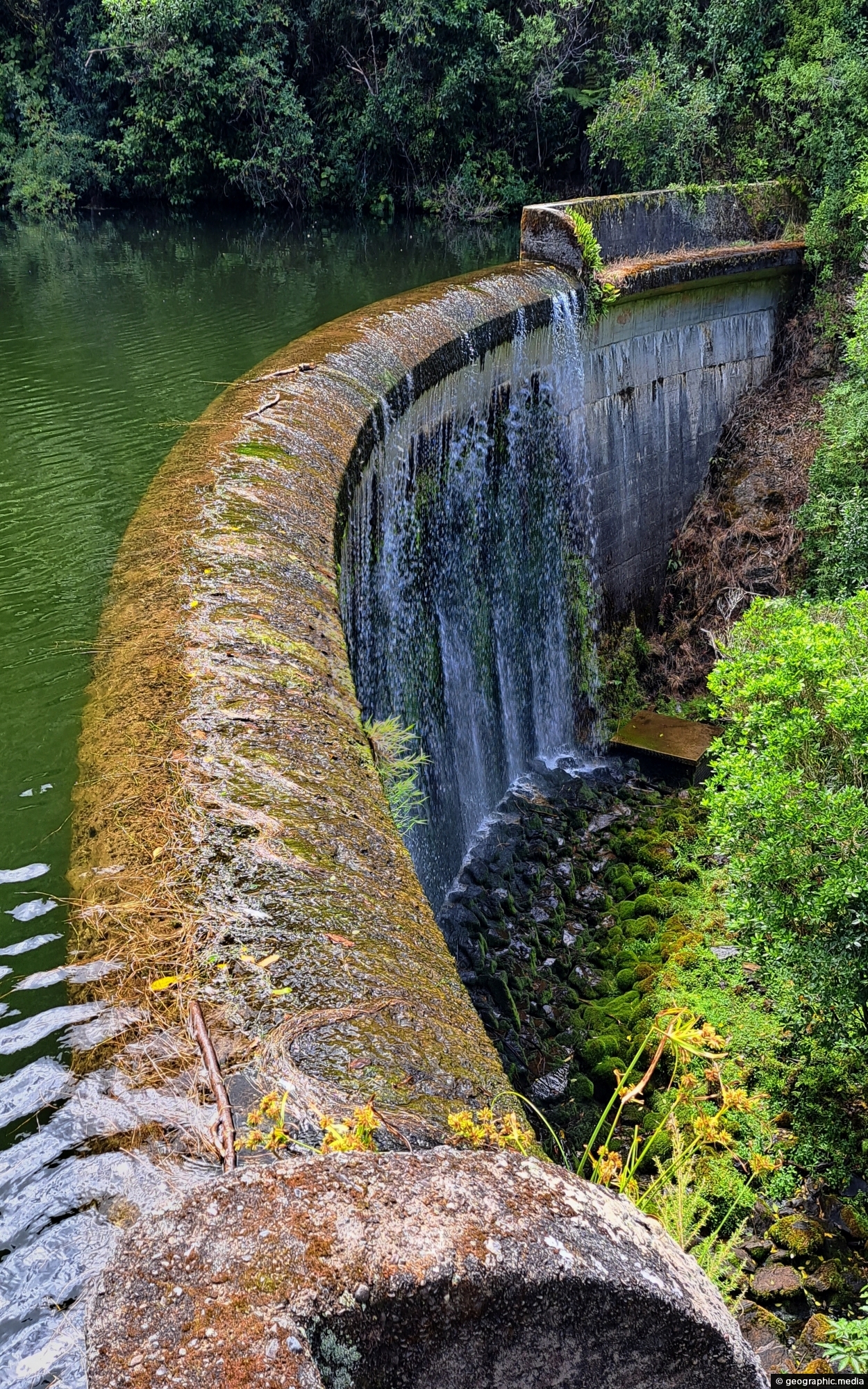
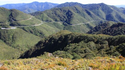
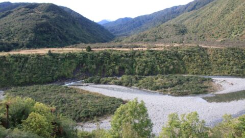
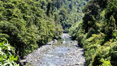
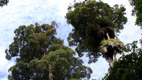
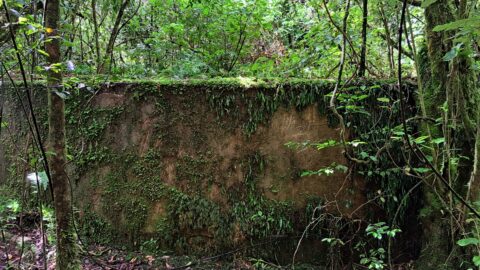
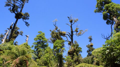
The Cannon Point and Birchville Dam trail is a captivating 90-minute hike through the scenic hills north of Upper Hutt, suitable for intermediate-level hikers. Covering 8 kilometers, the trail passes through private land and Greater Wellington’s Akatarawa Forest, starting at Tulsa Park. It ascends through private land and the forest to a summit offering stunning views over the Hutt Valley. Continuing along old forestry roads, it descends to the Birchville Dam, built in 1929 to supply water to Upper Hutt until 1954. After exploring the dam, the trail continues downstream for 1 kilometer, crossing a suspension bridge before ending.
ALL / Explore Oceania / Explore New Zealand / New Zealand Photos / Tararua Range photos / Birchfield Dam in Akatarawa Forest
All original royalty-free photos, shareable maps, and informative articles.
Birchfield Dam in Akatarawa Forest
Page Views
This post has been viewed 244 times
Related Articles
-
Pākuratahi River in the Tararua Range
Tararua Range photos, Extra Wide Horizontal, Forests, Rivers
The Pākuratahi River is a river located in the lower North Island of New Zealand. The river runs through...
-
River and Mountains
Tararua Range photos, Landscape / Horizontal, Mountains, Rivers
Looking at the Otaki River with the Tararua mountains in the background. Photo was taken at Otaki Forks on...
-
Snowy Peak Tararua Mountains
Tararua Range photos, Landscape / Horizontal, Mountains, Rivers, Snow
A snowy peak is just visible from Otaki Forks in the Tararua Mountains. In winter this range can be...
-
Water Tank in Akatarawa Forest
Tararua Range photos, Extra Wide Horizontal, Forests, Waterworks
This water tank is located in the Akatarawa Forest. It was associated with Birchville Dam which was decommissioned in...
-
Otaki River
Tararua Range photos, Landscape / Horizontal, Mountains, Rivers
View of the Otaki River near Otaki Forks where the convergence of the Southern Waiotauru River takes place. Located...
-
Light Snow in the Tararua
Tararua Range photos, Landscape / Horizontal, Mountains, Rivers, Snow
Some light snow in the Tararua range at Otaki Forks. In winter this mountain range can get substantial snow.
-
Kea
Tararua Range photos, Animals, Birds, Landscape / Horizontal
Kea are are related to the kaka which look similar but are more brown in colour. This kea was photographed...
-
Hutt River Gorge Tararua
Tararua Range photos, Forests, Landscape / Horizontal, Rivers
Hutt River Gorge within the Tararua range is a beautiful section of the Hutt River located in Kaitoke Regional...
0 Comments
Calendar
M | T | W | T | F | S | S |
---|---|---|---|---|---|---|
1 | 2 | 3 | 4 | |||
5 | 6 | 7 | 8 | 9 | 10 | 11 |
12 | 13 | 14 | 15 | 16 | 17 | 18 |
19 | 20 | 21 | 22 | 23 | 24 | 25 |
26 | 27 | 28 | 29 | 30 | 31 |
Popular Posts
- Awakening New Zealand video (100)
- Iguazu Falls as seen from Brazil (87)
- Metrocable Medellin (78)
- Pauatahanui Inlet (69)
- Spinnaker Hill View (68)
- Spinnaker Hill in Whitby Porirua (68)
- View from Whitby (68)
- The Devil’s Throat (62)
- Aerial View of Iguazu Falls (61)
- Porirua Harbour & Papakowhai (57)
- Lake Wakatipu (57)
- Salto Rivadavia & Iguassu River (56)
- Lake Tekapo & Lupins (54)
- Nelson View (53)
- Salto Rivadavia Misiones Province (53)
- Cascadas at Iguazu (53)
Subjects
AccommodationAnimalsArchitectureBeachesBirdsBoatsBridgesBuildingsCarsChurchesCitiesCoralCultureExtra Wide HorizontalFlowersForestsHarborsHomesIslandsLakesLandscape / HorizontalMapsMenMonumentsMountainsPalmsParksPeoplePlantsPortrait / VerticalRiversRoadsRuralSeaShopsSkyscrapersSnowSunsetsTownsTrailsTransportTreesVideosVolcanicWaterfalls
Recent Comments
- Lance on Concrete Hut Wainuiomata
- Tony on Concrete Hut Wainuiomata
- DavidJ on Wellington Night Skyline
- Ben on Auckland City Skyline from Westhaven Marina in 1998
- Ben on Auckland Harbour Bridge view