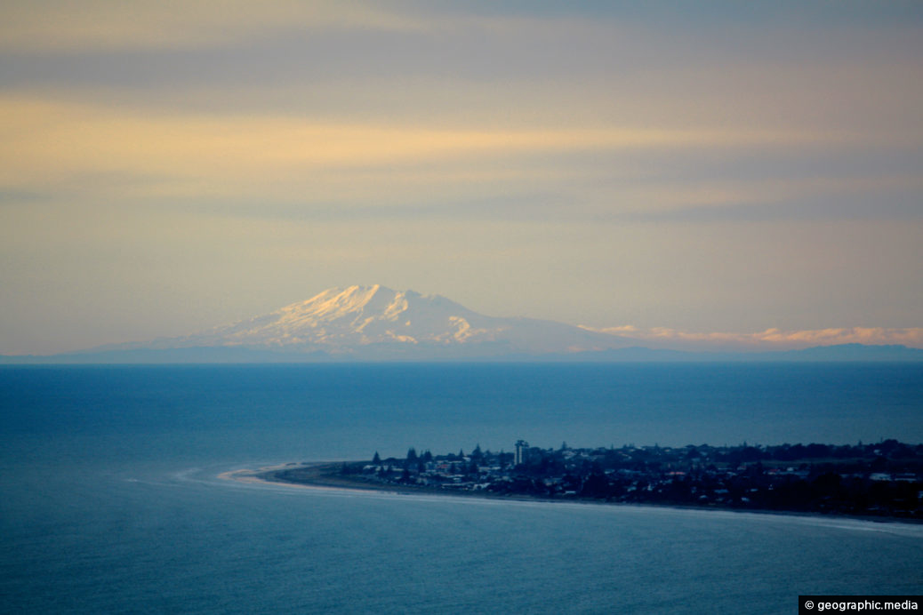
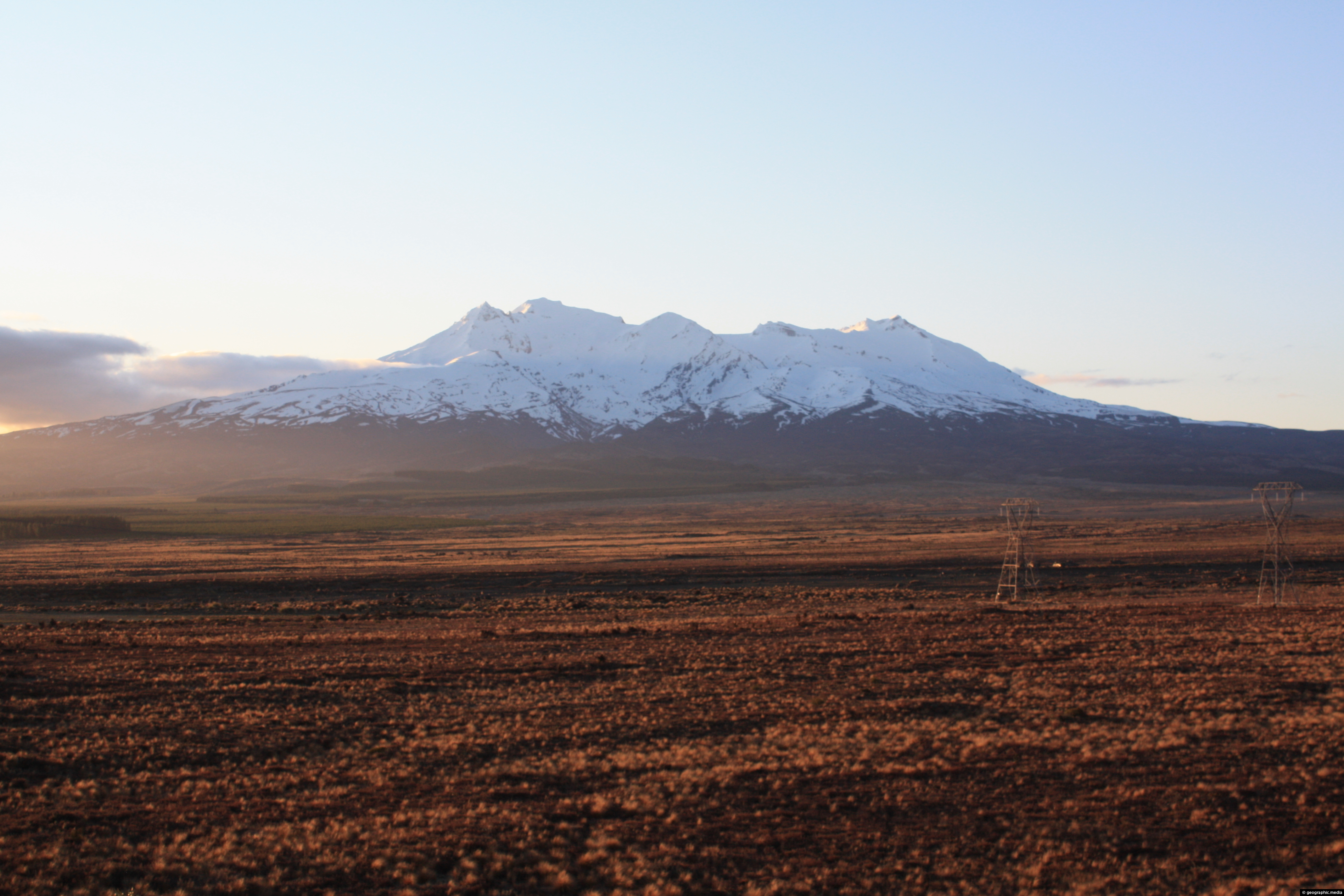
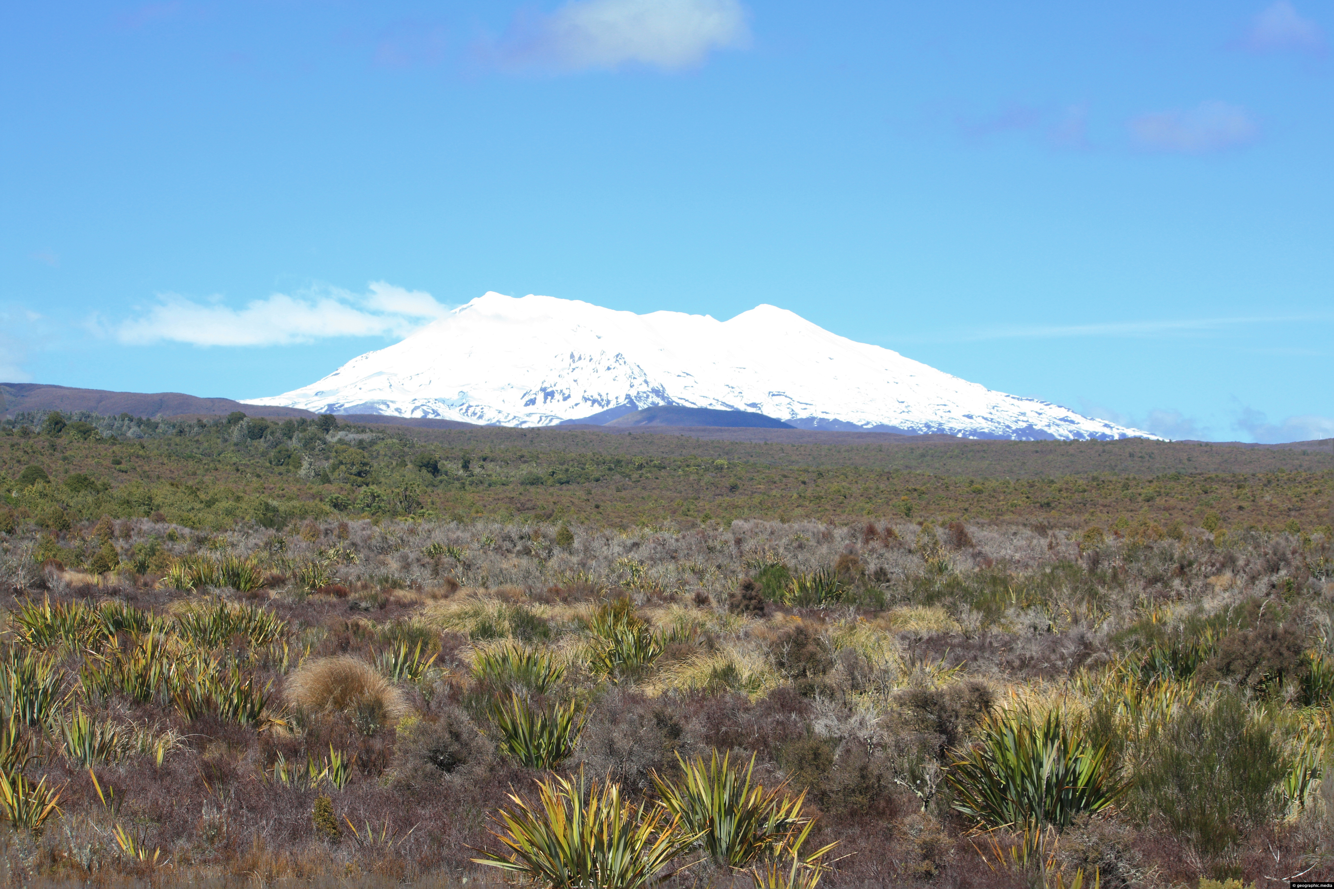
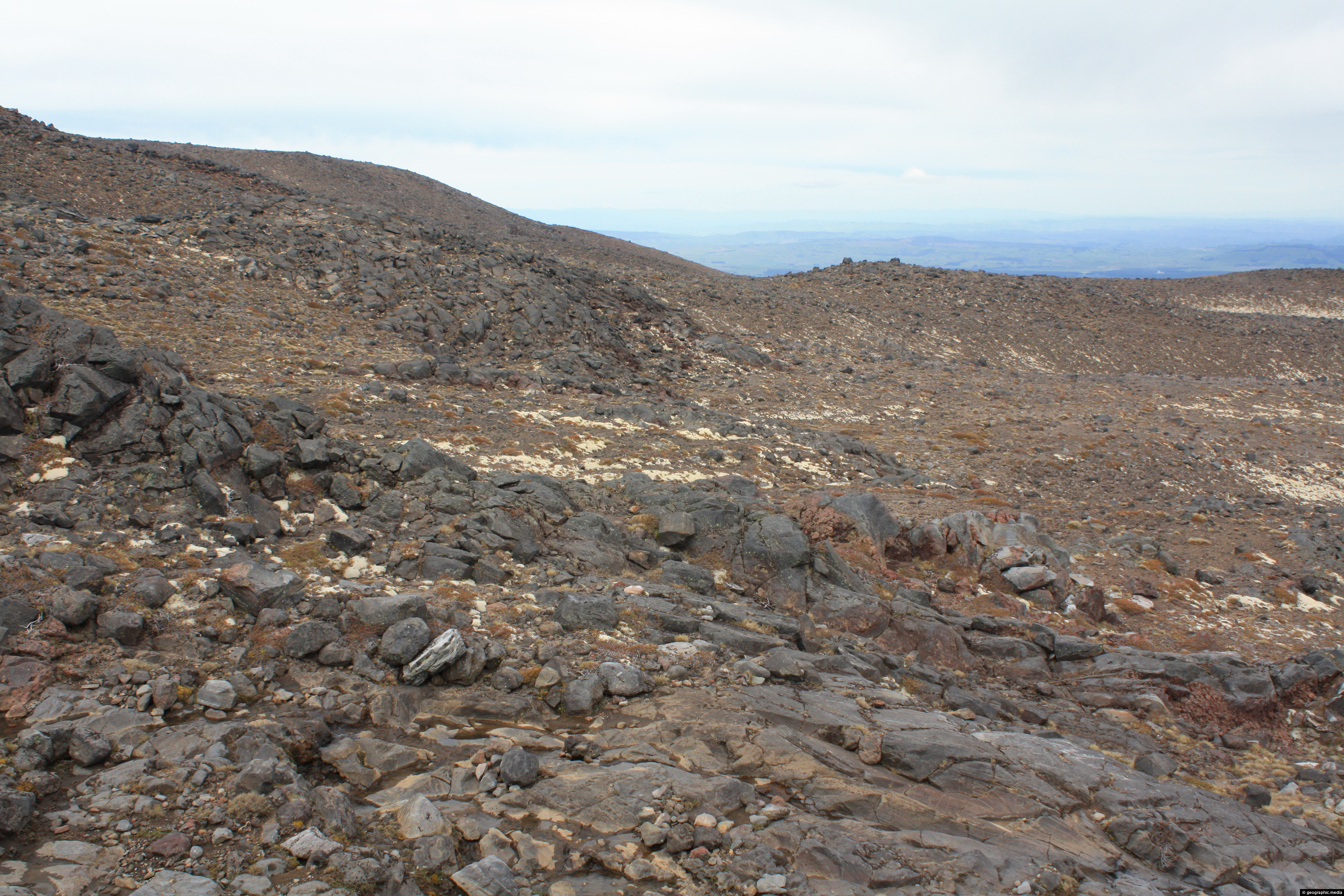
On rare occasions, you can see Mount Ruapehu which is 200km away from the 237 meter high Paekakariki Hill Lookout in Kapiti. Ruapehu is the highest peak on the North Island at 2797 metres above sea level.
ALL / Explore Oceania / Explore New Zealand / New Zealand Photos / Mt Ruapehu photos / Mount Ruapehu from Kapiti Lookout
All original royalty-free photos, shareable maps, and informative articles.
Mount Ruapehu from Kapiti Lookout
Page Views
This post has been viewed 1,630 times
Related Articles
-
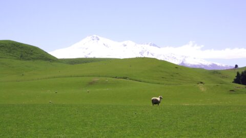
Lush Farmland & Mt Ruapehu
Mt Ruapehu photos, Landscape / Horizontal, Mountains, Rural, Snow, Volcanic
Mt Ruapehu in New Zealand has some lush farmland near its slopes due to volcanic soil and regular rainfall.
-
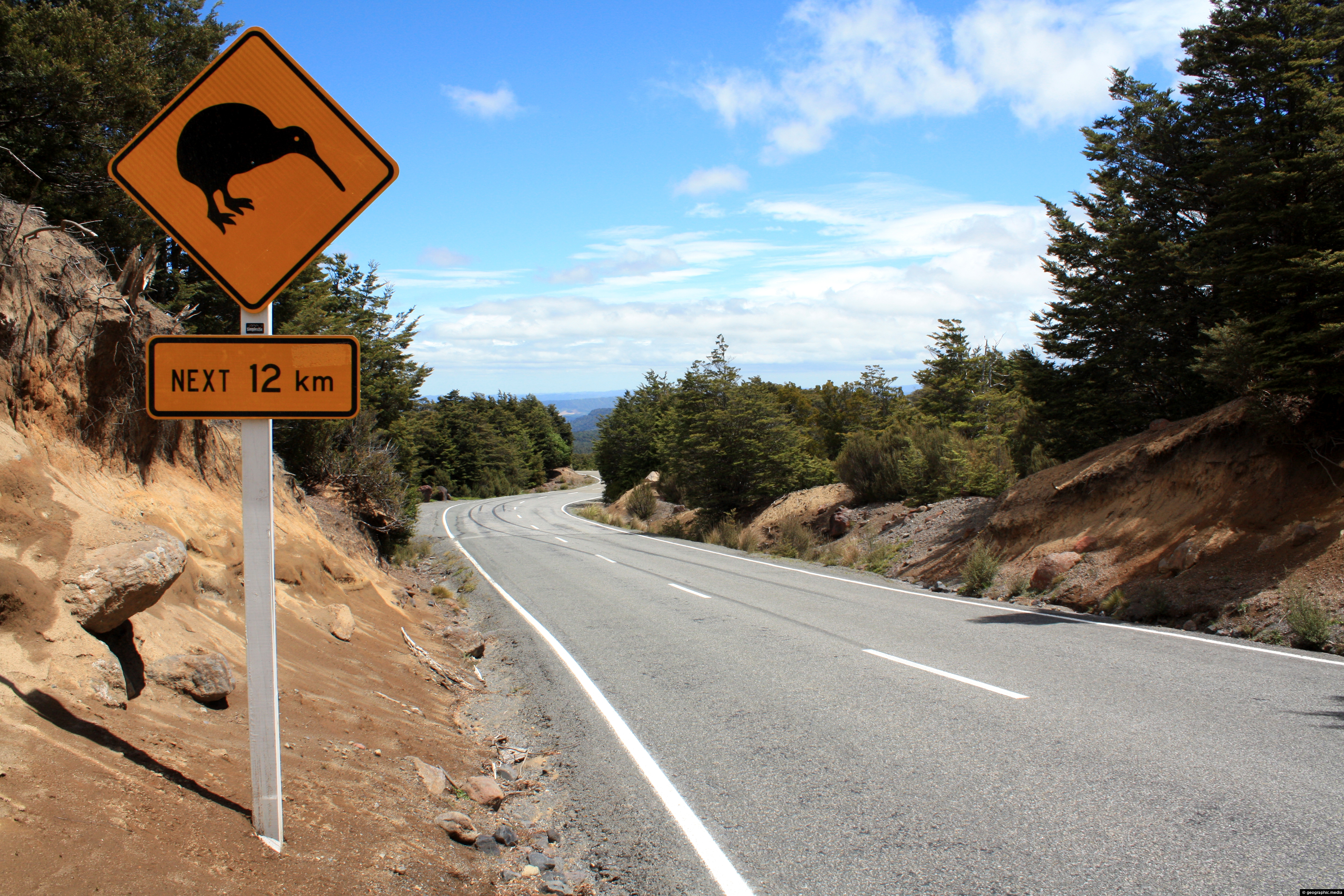
Kiwi Road Sign Mount Ruapehu
Mt Ruapehu photos, Birds, Landscape / Horizontal, Roads, Volcanic
A road sign on Ohakune Mountain Road on Mount Ruapehu alerting drivers to the presence of New Zealand’s national...
-
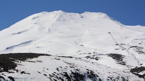
Turoa Ski Field Mt Ruapehu
Mt Ruapehu photos, Landscape / Horizontal, Mountains, Snow, Volcanic
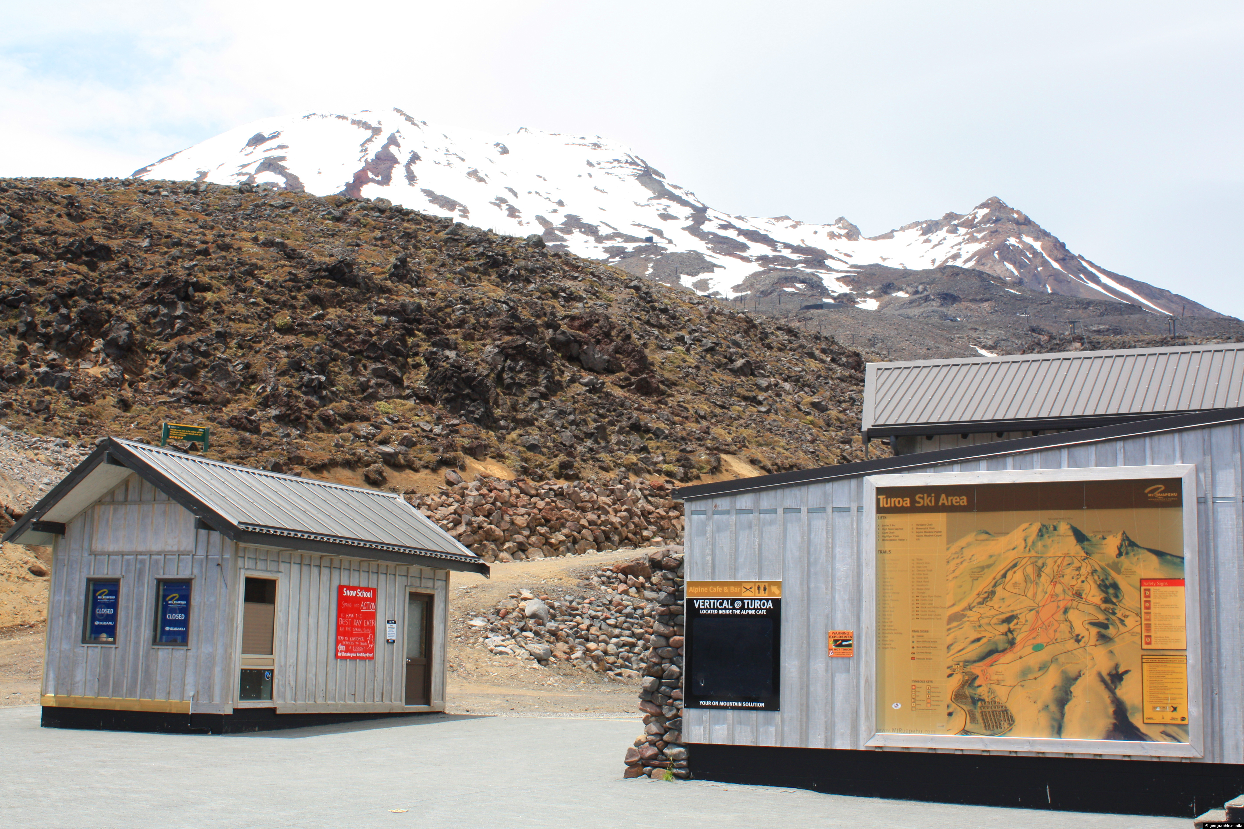
View of Turoa Ski Field outside of the ski season. You can see ski lifts surrounded by snow, but...
-
Rangipo Desert & Mount Ruapehu
Mt Ruapehu photos, Deserts, Landscape / Horizontal, Mountains, Volcanic
Mount Ruapehu as seen from the Rangipo Desert. The Rangipo Desert is a desert-like environment located in New Zealand’s...
-
Turoa Ski Field without Snow
Mt Ruapehu photos, Landscape / Horizontal, Mountains, Snow, Volcanic
Winter snow has receded and the ski season ended at Turoa Ski Field in New Zealand.
-
Mount Ruapehu and Chateau
Mt Ruapehu photos, Landscape / Horizontal, Mountains, Snow, Volcanic
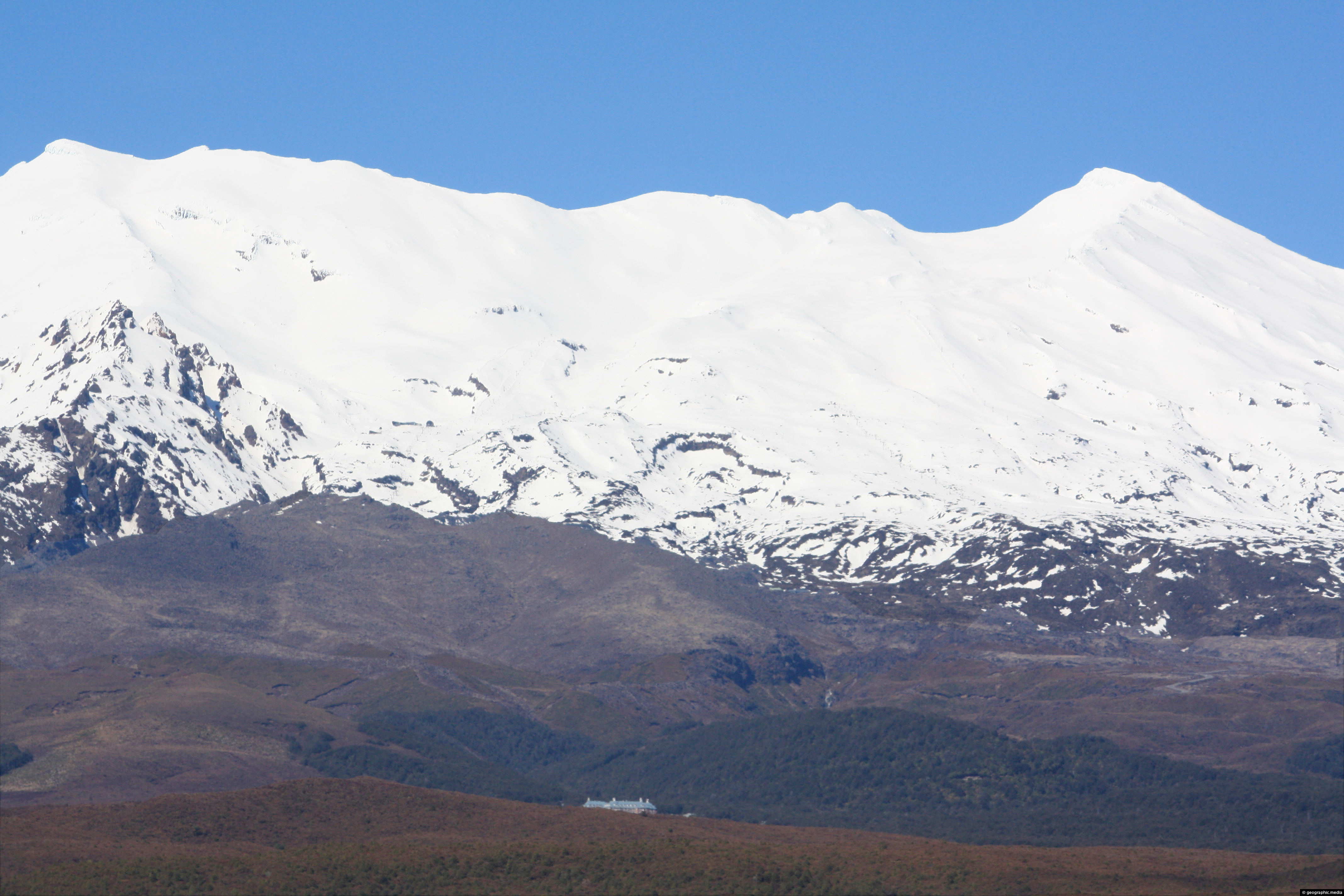
View of Mount Ruapehu with the Chateau just visible. The Chateau Tongariro Hotel as it is known is a...
-
Mount Ruapehu and Plain
Mt Ruapehu photos, Landscape / Horizontal, Mountains, Snow, Volcanic
A snow capped Mt Ruapehu rises up above the surrounding plain.
-
Lava slopes of Mt Ruapehu
Mt Ruapehu photos, Landscape / Horizontal, Mountains, Volcanic
Lava rock slopes of Mt Ruapehu near Turoa ski field.
0 Comments
Calendar
| M | T | W | T | F | S | S |
|---|---|---|---|---|---|---|
| 1 | ||||||
| 2 | 3 | 4 | 5 | 6 | 7 | 8 |
| 9 | 10 | 11 | 12 | 13 | 14 | 15 |
| 16 | 17 | 18 | 19 | 20 | 21 | 22 |
| 23 | 24 | 25 | 26 | 27 | 28 | 29 |
| 30 | ||||||
Popular Posts
- Awakening New Zealand video (100)
- Iguazu Falls as seen from Brazil (87)
- Metrocable Medellin (78)
- Pauatahanui Inlet (69)
- Spinnaker Hill in Whitby Porirua (68)
- Spinnaker Hill View (68)
- View from Whitby (68)
- The Devil’s Throat (62)
- Aerial View of Iguazu Falls (61)
- Porirua Harbour & Papakowhai (57)
- Lake Wakatipu (57)
- Salto Rivadavia & Iguassu River (56)
- Lake Tekapo & Lupins (54)
- Nelson View (53)
- Salto Rivadavia Misiones Province (53)
- Cascadas at Iguazu (53)
Subjects
AccommodationAnimalsArchitectureBeachesBirdsBoatsBridgesBuildingsCarsChurchesCitiesCoralCultureExtra Wide HorizontalFlowersForestsHarborsHomesIslandsLakesLandscape / HorizontalMapsMenMonumentsMountainsPalmsParksPeoplePlantsPortrait / VerticalRiversRoadsRuralSeaShopsSkyscrapersSnowSunsetsTownsTrailsTransportTreesVideosVolcanicWaterfalls
Recent Comments
- Lance on Concrete Hut Wainuiomata
- Tony on Concrete Hut Wainuiomata
- DavidJ on Wellington Night Skyline
- Ben on Auckland City Skyline from Westhaven Marina in 1998
- Ben on Auckland Harbour Bridge view

