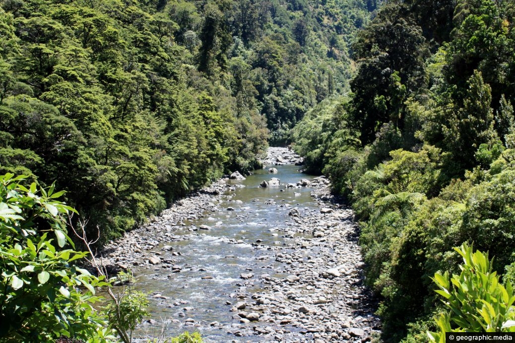
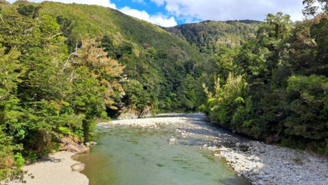
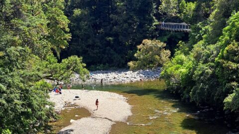
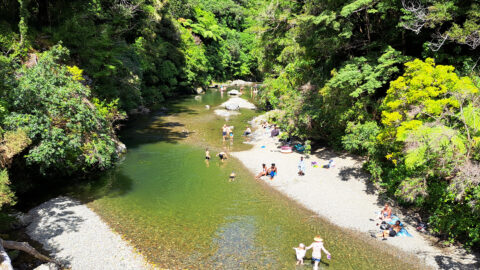
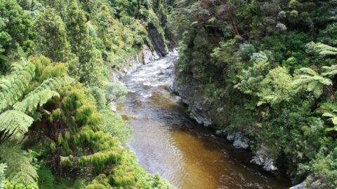
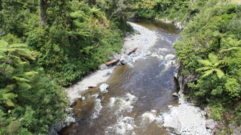
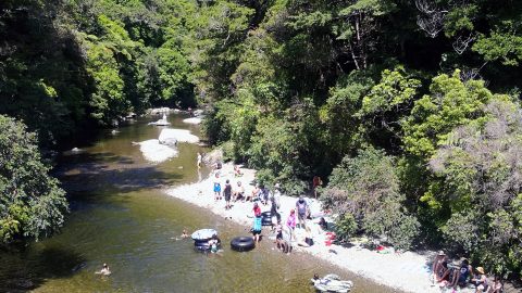
Looking at the upper reaches of the Hutt River in Kaitoke Regional Park. Surrounded by native forest in the foothills of the Tararua Mountains, the river eventually flows into the populated Hutt Valley. It dissects both Upper Hutt and Lower Hutt cities before flowing into Wellington Harbour.
ALL / About / Hutt River in Kaitoke Regional Park
All original royalty-free photos, shareable maps, and informative articles.
Hutt River in Kaitoke Regional Park
Page Views
This post has been viewed 842 times
Related Articles
-
Hutt River Kaitoke Regional Park
Kaitoke photos, Extra Wide Horizontal, Forests, Rivers
The Hutt River runs through Kaitoke Regional Park and is a major feature of the reserve. The river is...
-
Pākuratahi River & Hutt River
Kaitoke photos, Forests, People, Portrait / Vertical, Rivers
View of the Pākuratahi River flowing into the Hutt River. This location and surrounds are significant locations in New...
-
Pākuratahi River
Kaitoke photos, Extra Wide Horizontal, Forests, People, Rivers
Pākuratahi River is a tributary of the Hutt River. It flows from the nearby Tararua Range. The river is...
-
Hutt River Gorge
Kaitoke photos, Landscape / Horizontal, Rivers
View of Hutt River Gorge in Kaitoke Regional Park in the Wellington region. The river has excellent natural pools that...
-
Hutt River Kaitoke
Kaitoke photos, Forests, Landscape / Horizontal, Rivers
View of the upper reaches of the Hutt River inside Kaitoke Regional Park. The river has a number of...
-
Rimu and Kahikatea
Kaitoke photos, Forests, Landscape / Horizontal, Trees
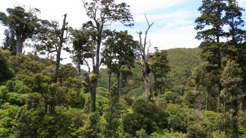
Mature rimu & kahikatea pierce the canopy of a podocarp rain forest within Kaitoke Regional Park. The park is...
-
Rainforest Canopy
Kaitoke photos, Ferns, Forests, Landscape / Horizontal
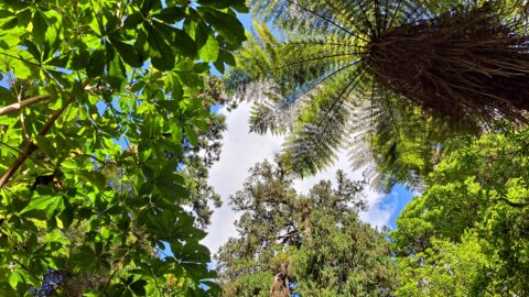
Looking up toward the canopy of the rainforest in Kaitoke Regional Park. The park is famous for its forest...
-
Pakuratahi River in Kaitoke Regional Park
Kaitoke photos, Forests, Landscape / Horizontal, People, Portrait / Vertical, Rivers
Looking at Pakuratahi River at Rivendell. Located within Kaitoke Regional Park, this river converges with the larger Hutt River...
0 Comments
Calendar
| M | T | W | T | F | S | S |
|---|---|---|---|---|---|---|
| 1 | ||||||
| 2 | 3 | 4 | 5 | 6 | 7 | 8 |
| 9 | 10 | 11 | 12 | 13 | 14 | 15 |
| 16 | 17 | 18 | 19 | 20 | 21 | 22 |
| 23 | 24 | 25 | 26 | 27 | 28 | 29 |
| 30 | ||||||
Popular Posts
- Awakening New Zealand video (100)
- Iguazu Falls as seen from Brazil (87)
- Metrocable Medellin (78)
- Pauatahanui Inlet (69)
- Spinnaker Hill in Whitby Porirua (68)
- Spinnaker Hill View (68)
- View from Whitby (68)
- The Devil’s Throat (62)
- Aerial View of Iguazu Falls (61)
- Porirua Harbour & Papakowhai (57)
- Lake Wakatipu (57)
- Salto Rivadavia & Iguassu River (56)
- Lake Tekapo & Lupins (54)
- Nelson View (53)
- Salto Rivadavia Misiones Province (53)
- Cascadas at Iguazu (53)
Subjects
AccommodationAnimalsArchitectureBeachesBirdsBoatsBridgesBuildingsCarsChurchesCitiesCoralCultureExtra Wide HorizontalFlowersForestsHarborsHomesIslandsLakesLandscape / HorizontalMapsMenMonumentsMountainsPalmsParksPeoplePlantsPortrait / VerticalRiversRoadsRuralSeaShopsSkyscrapersSnowSunsetsTownsTrailsTransportTreesVideosVolcanicWaterfalls
Recent Comments
- Lance on Concrete Hut Wainuiomata
- Tony on Concrete Hut Wainuiomata
- DavidJ on Wellington Night Skyline
- Ben on Auckland City Skyline from Westhaven Marina in 1998
- Ben on Auckland Harbour Bridge view

