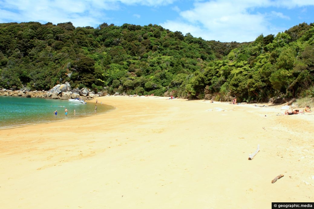
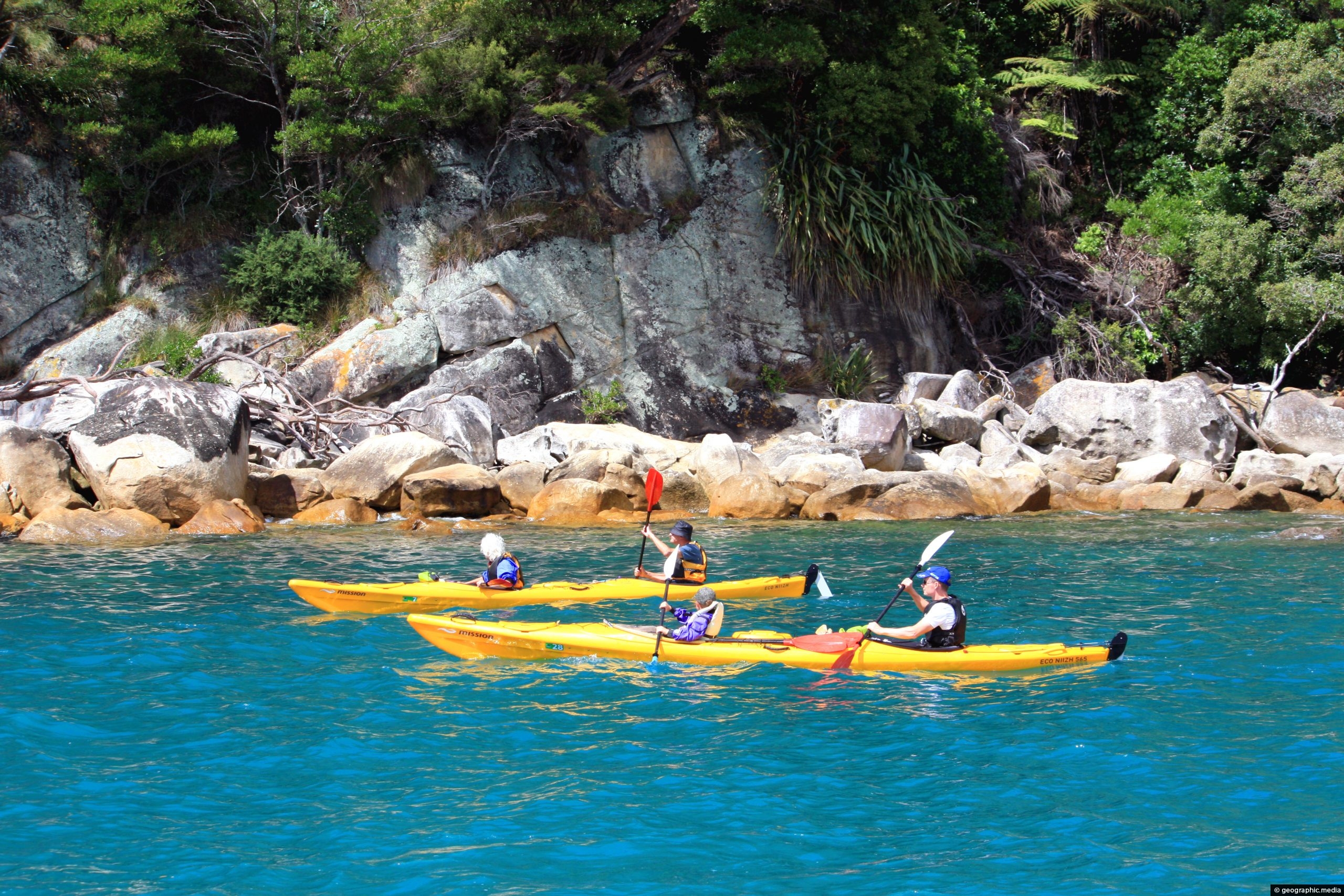
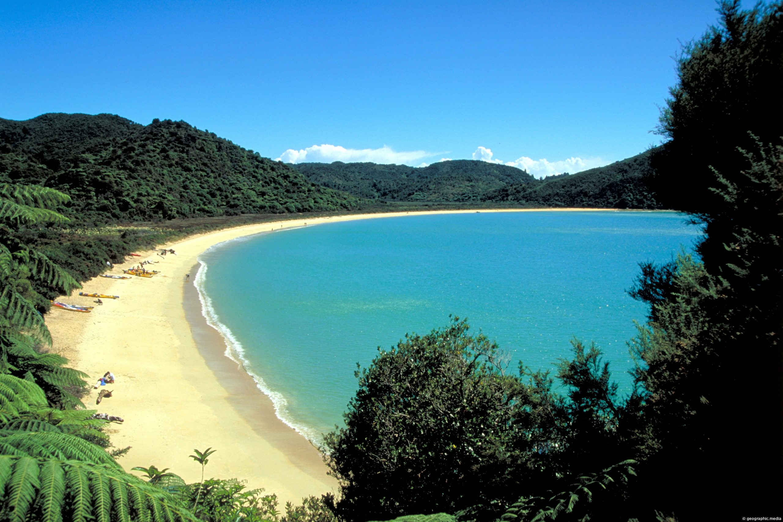
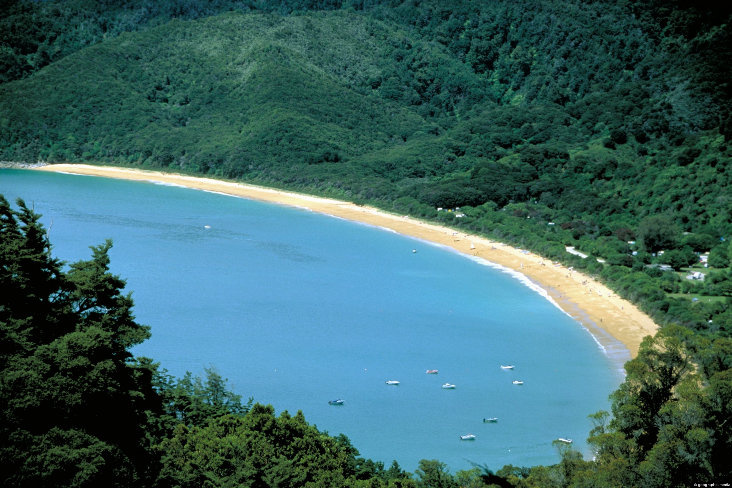
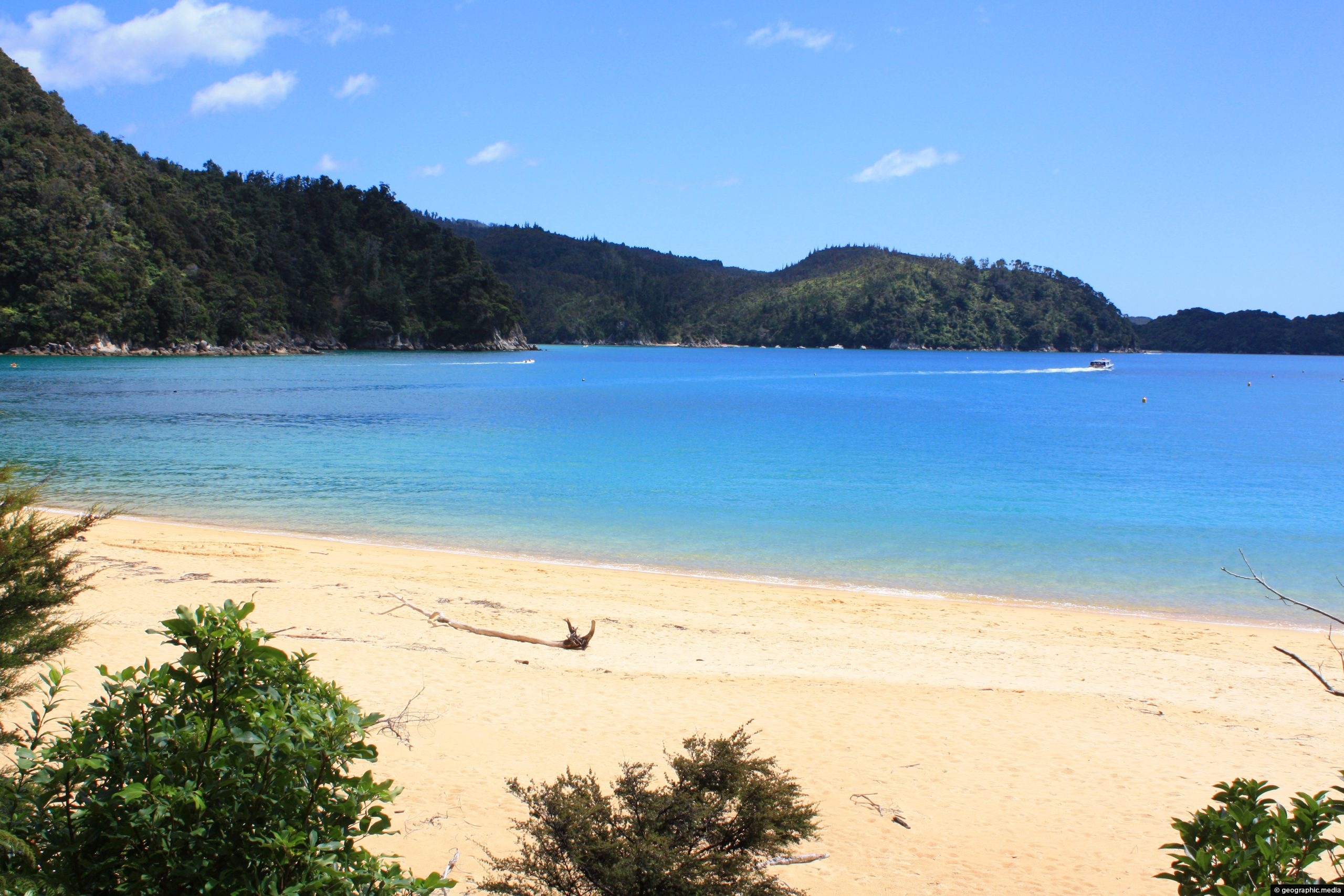
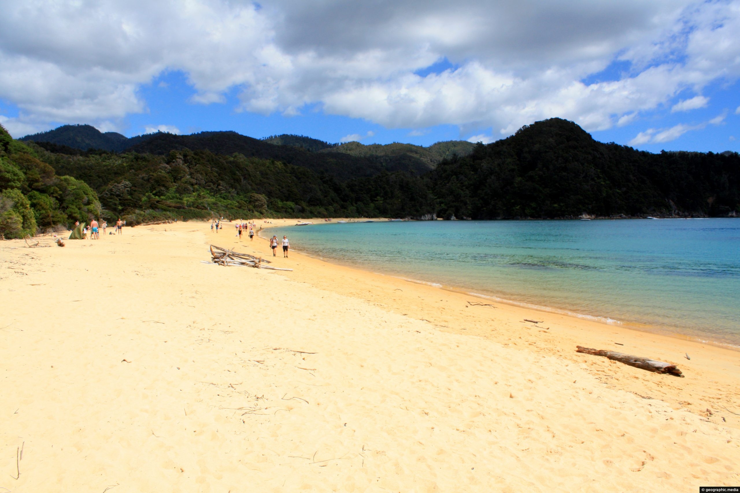
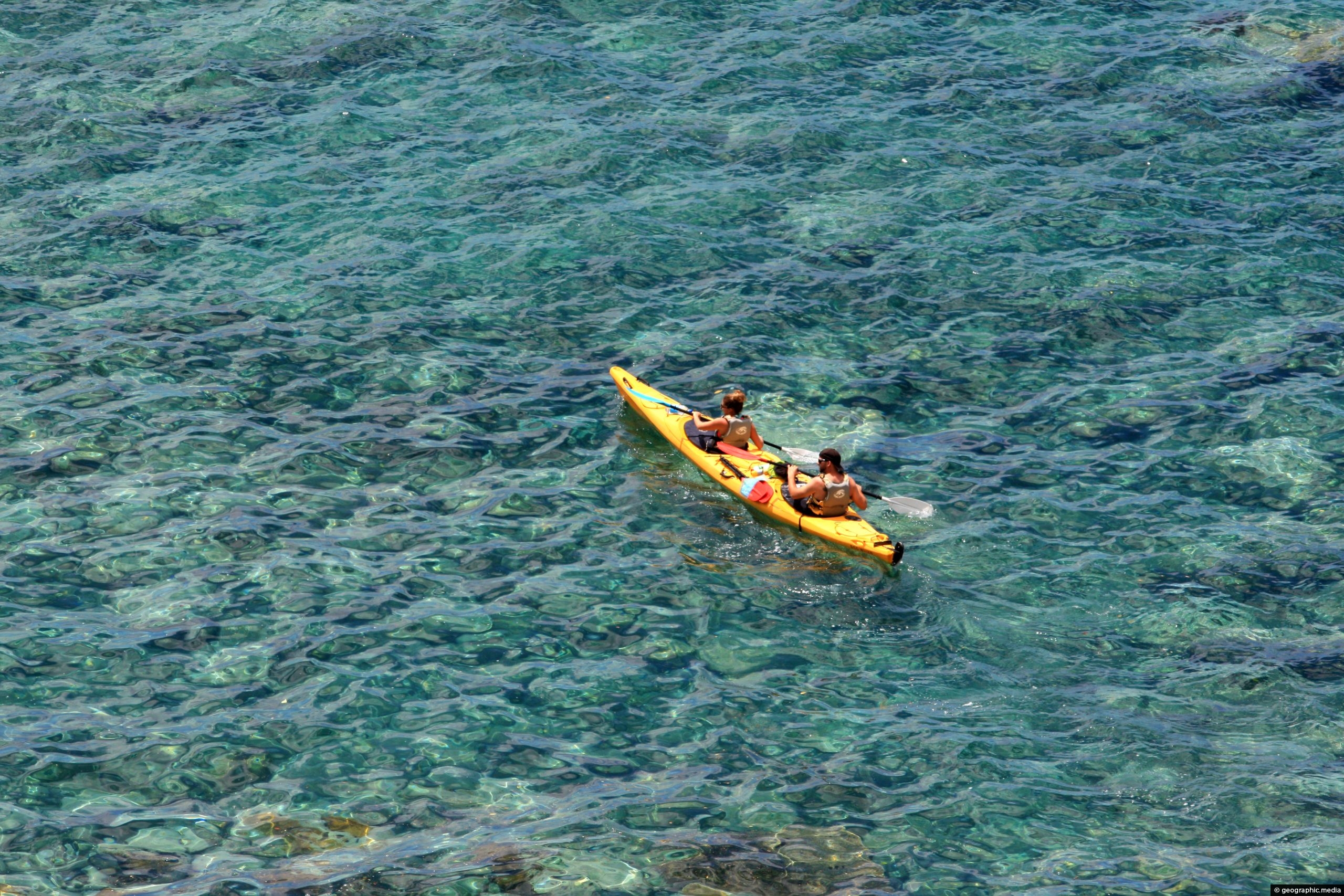
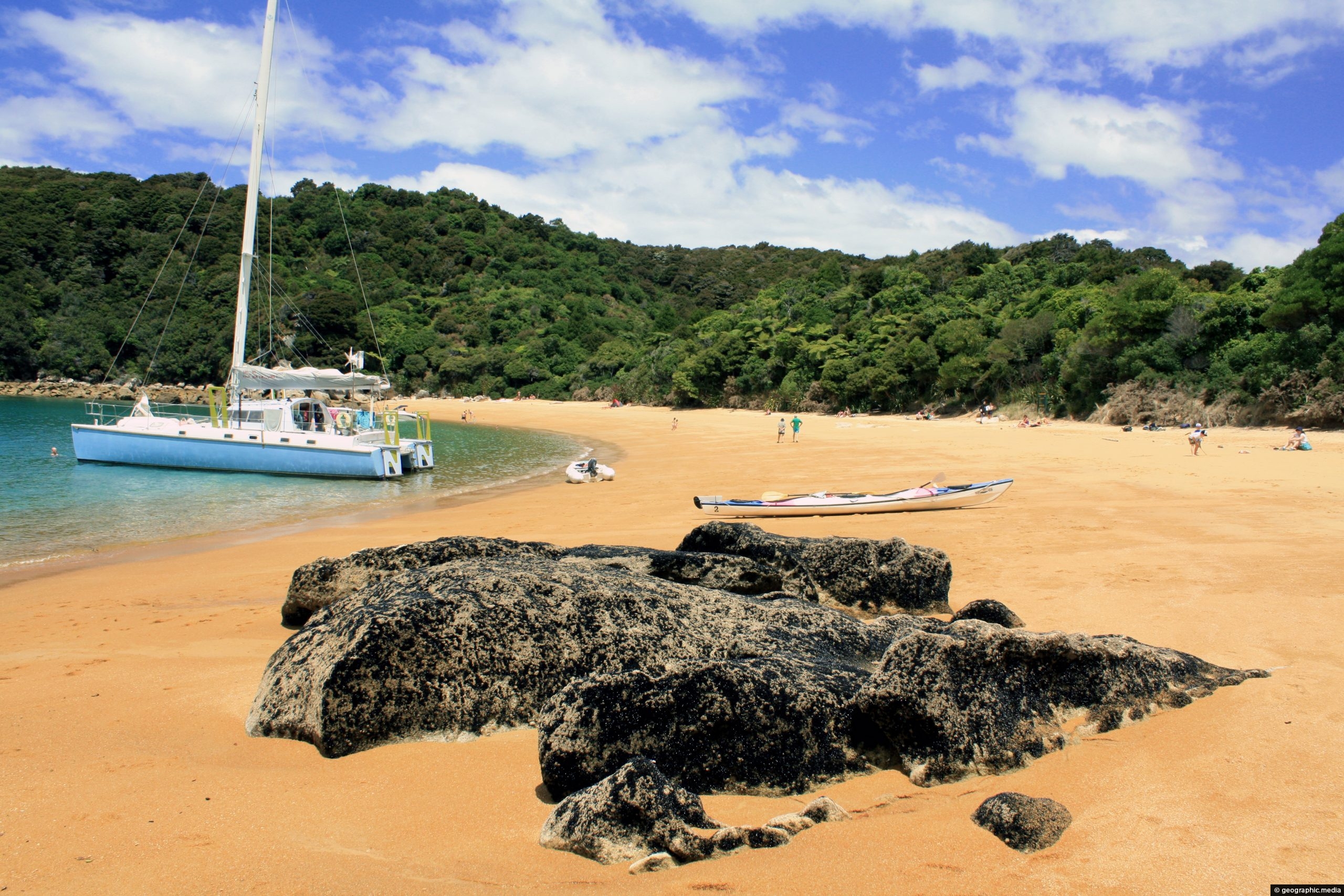
View of Te Pukeatea Bay in Abel Tasman National Park, New Zealand. While the beach is not on the main Abel Tasman Track, you can gain access by boat or via Pitt Head Loop track, (3 kms / 2 miles) starting at Anchorage.
ALL / Explore Oceania / Explore New Zealand / New Zealand Photos / Abel Tasman photos / Te Pukeatea Bay View Abel Tasman
All original royalty-free photos, shareable maps, and informative articles.
Te Pukeatea Bay View Abel Tasman
Page Views
This post has been viewed 2,628 times
Related Articles
-
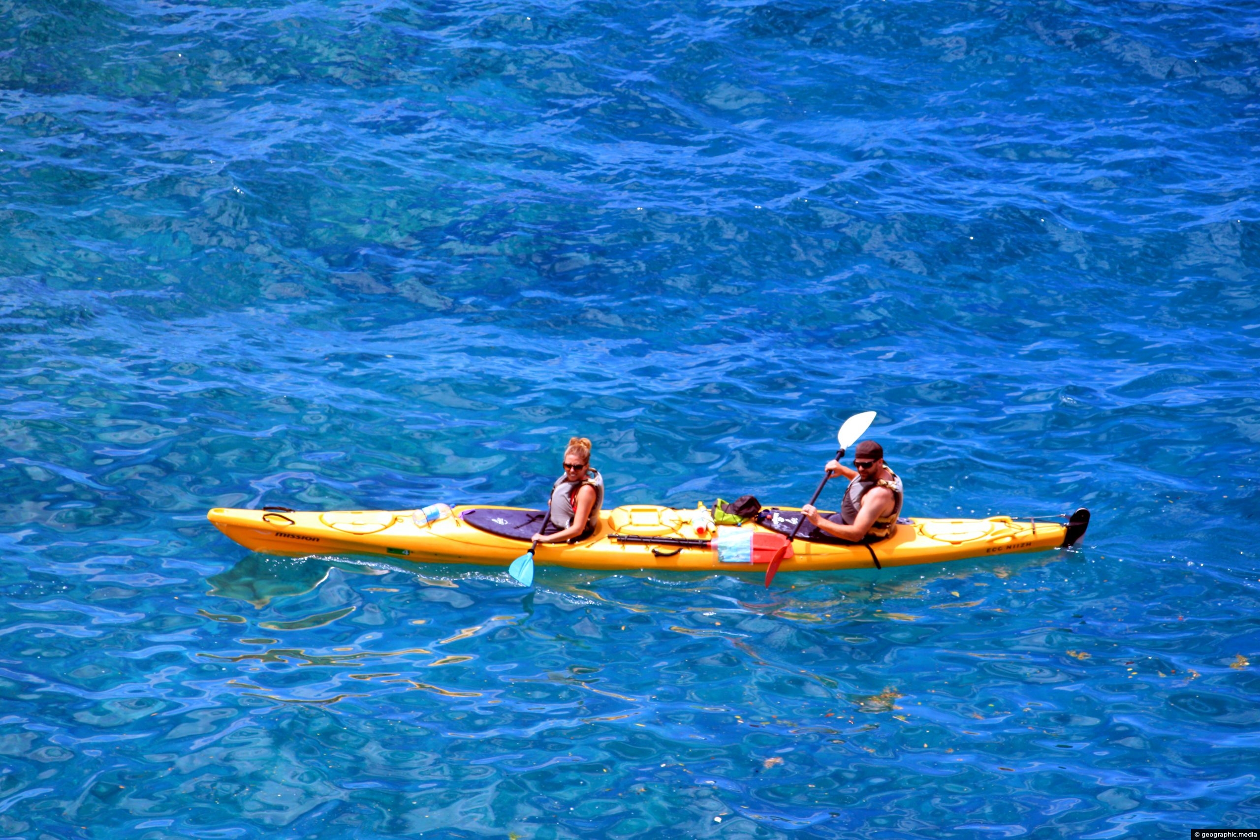
Kayakers in Abel Tasman
Abel Tasman photos, Boats, Landscape / Horizontal, Sea, Transport
Kayakers exploring the scenic coastline of Abel Tasman National Park in New Zealand. Kayaking gives you access to some...
-
Tonga Bay
Abel Tasman photos, Beaches, Landscape / Horizontal, Sea
View of stunning Tonga Bay in Abel Tasman National Park. This beach forms part of the famous Abel Tasman...
-
Totoranui Beach View
Abel Tasman photos, Beaches, Landscape / Horizontal, Sea
View of Totoranui Beach from the Abel Tasman Walk. Totoranui has road access and is often the start or...
-
Anchorage Bay View
Abel Tasman photos, Beaches, Landscape / Horizontal, Sea
Looking at the deep blue water of Tasman Sea at Anchorage Bay, as seen from Anchorage Hut in New...
-
Anchorage Bay Beach
Abel Tasman photos, Beaches, Landscape / Horizontal, Sea
View of the beach at Anchorage Bay in Abel Tasman National Park. The beach is part of a three...
-
Kayaking Abel Tasman
Abel Tasman photos, Boats, Landscape / Horizontal, Sea, Transport
Kayaking in the crystal clear sea water of Abel Tasman National Park in New Zealand’s South Island.
-
Rocks on Te Pukeatea Bay
Abel Tasman photos, Beaches, Boats, Landscape / Horizontal, Sea, Transport
A large rock sticking out of the orange sand on the western end of Te Pukeatea Bay in Abel...
-
Kayakers Abel Tasman
Abel Tasman photos, Boats, Landscape / Horizontal, Transport
Kayakers navigating the coastline of Abel Tasman National Park. Besides the Abel Tasman Walk, kayaking is a popular way...
0 Comments
Calendar
| M | T | W | T | F | S | S |
|---|---|---|---|---|---|---|
| 1 | ||||||
| 2 | 3 | 4 | 5 | 6 | 7 | 8 |
| 9 | 10 | 11 | 12 | 13 | 14 | 15 |
| 16 | 17 | 18 | 19 | 20 | 21 | 22 |
| 23 | 24 | 25 | 26 | 27 | 28 | 29 |
| 30 | ||||||
Popular Posts
- Awakening New Zealand video (100)
- Iguazu Falls as seen from Brazil (87)
- Metrocable Medellin (78)
- Pauatahanui Inlet (69)
- Spinnaker Hill View (68)
- Spinnaker Hill in Whitby Porirua (68)
- View from Whitby (68)
- The Devil’s Throat (62)
- Aerial View of Iguazu Falls (61)
- Porirua Harbour & Papakowhai (57)
- Lake Wakatipu (57)
- Salto Rivadavia & Iguassu River (56)
- Lake Tekapo & Lupins (54)
- Nelson View (53)
- Salto Rivadavia Misiones Province (53)
- Cascadas at Iguazu (53)
Subjects
AccommodationAnimalsArchitectureBeachesBirdsBoatsBridgesBuildingsCarsChurchesCitiesCoralCultureExtra Wide HorizontalFlowersForestsHarborsHomesIslandsLakesLandscape / HorizontalMapsMenMonumentsMountainsPalmsParksPeoplePlantsPortrait / VerticalRiversRoadsRuralSeaShopsSkyscrapersSnowSunsetsTownsTrailsTransportTreesVideosVolcanicWaterfalls
Recent Comments
- Lance on Concrete Hut Wainuiomata
- Tony on Concrete Hut Wainuiomata
- DavidJ on Wellington Night Skyline
- Ben on Auckland City Skyline from Westhaven Marina in 1998
- Ben on Auckland Harbour Bridge view

