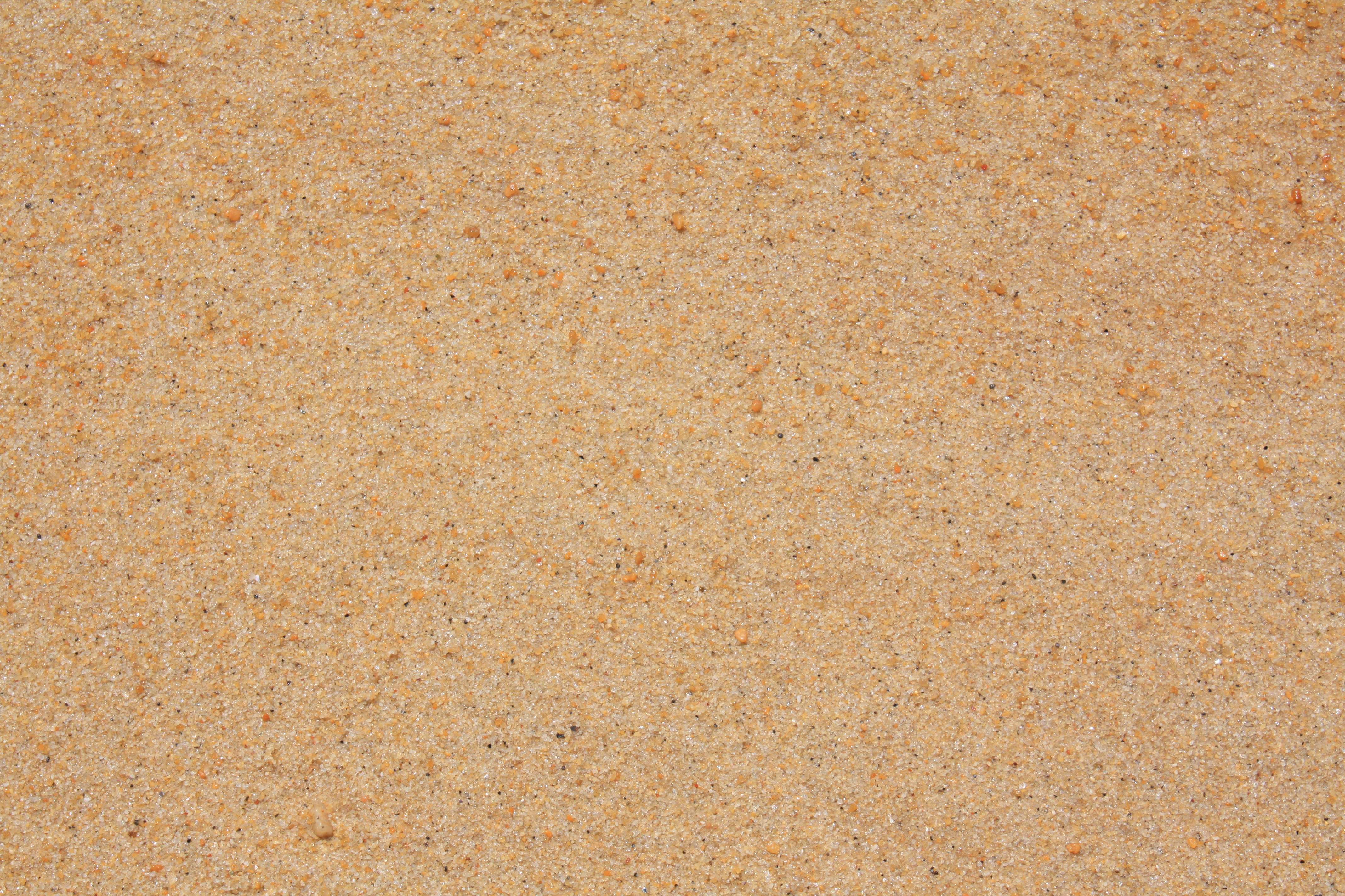
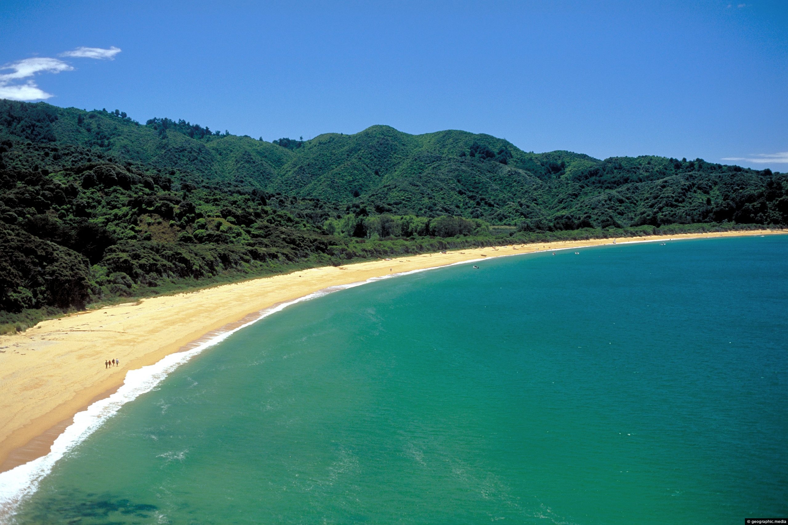
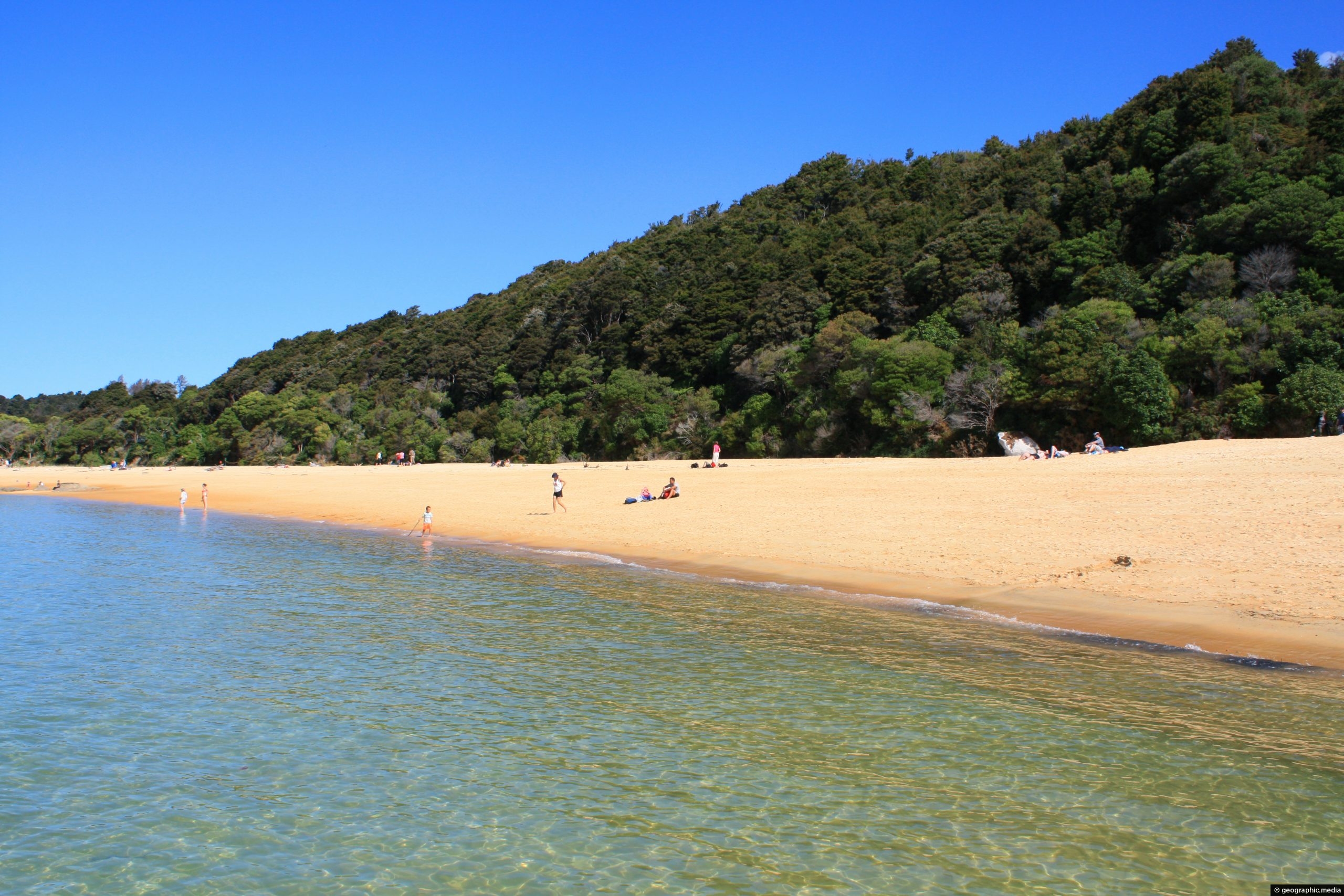
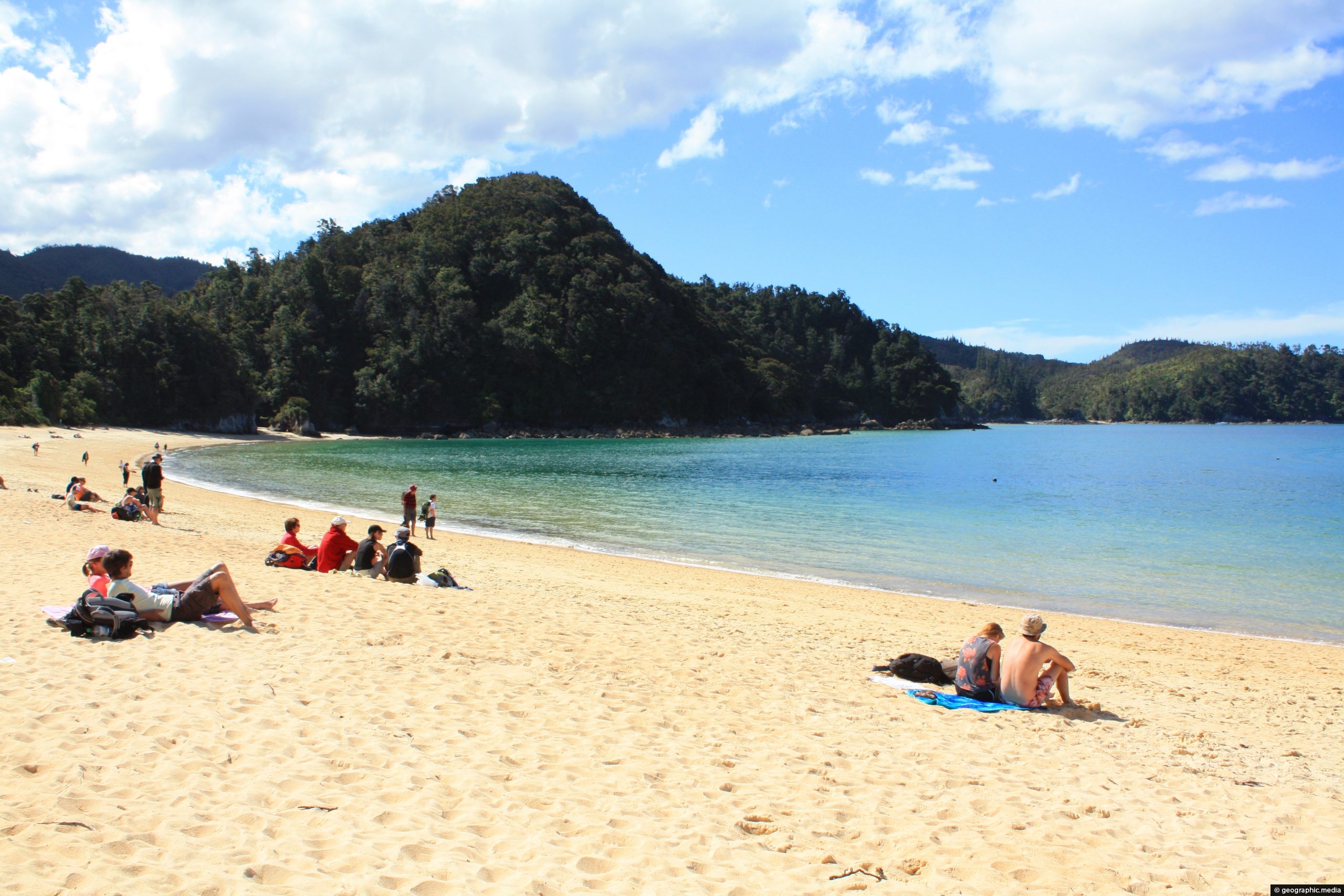
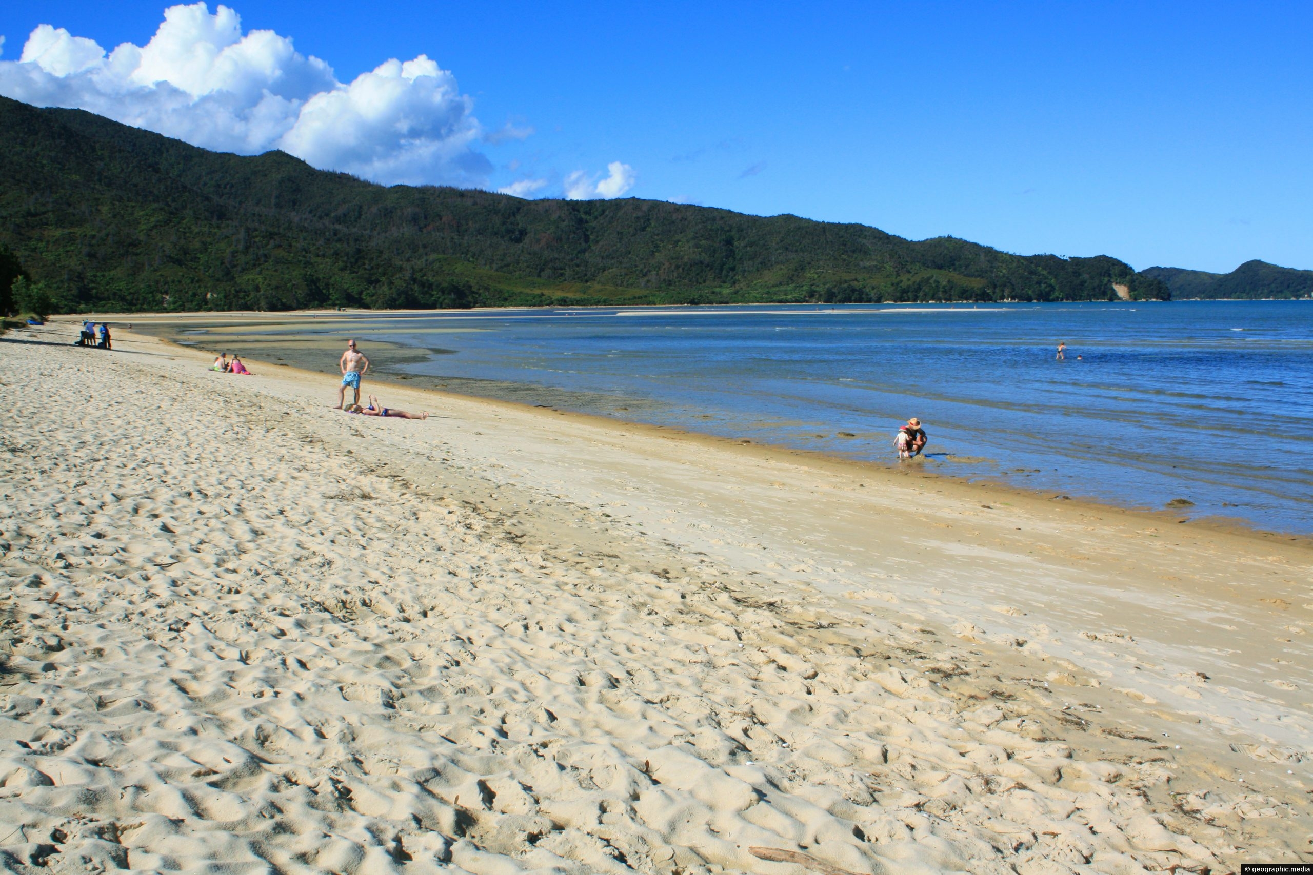
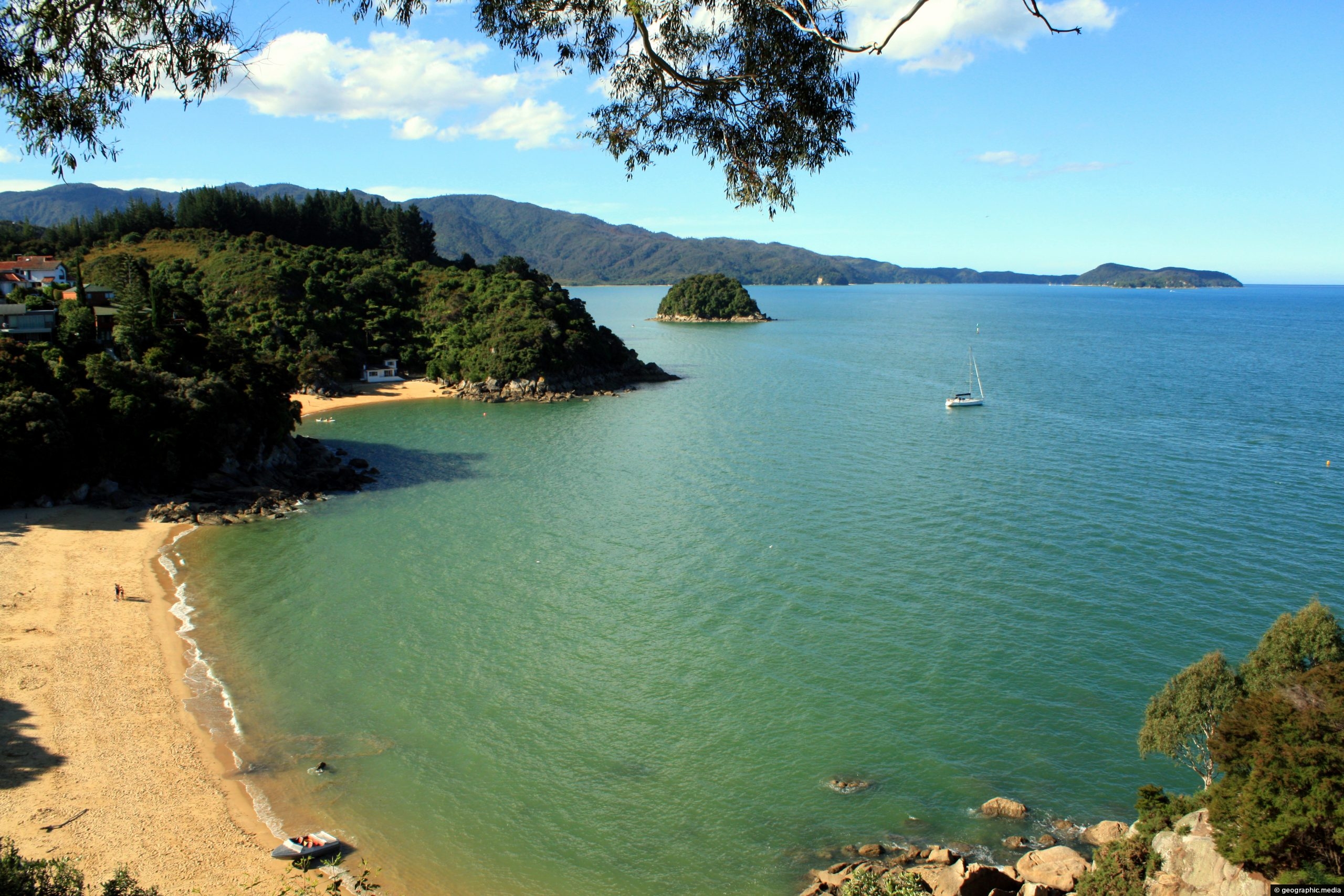
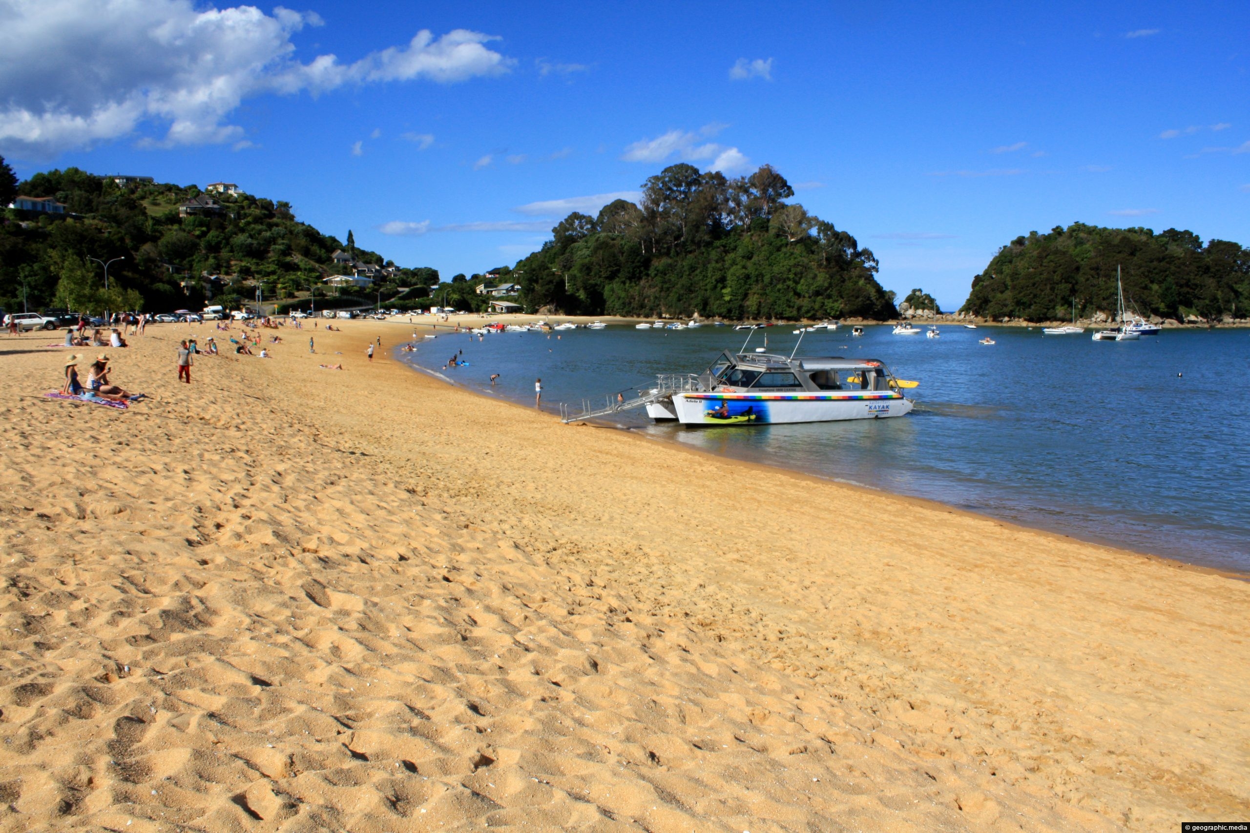
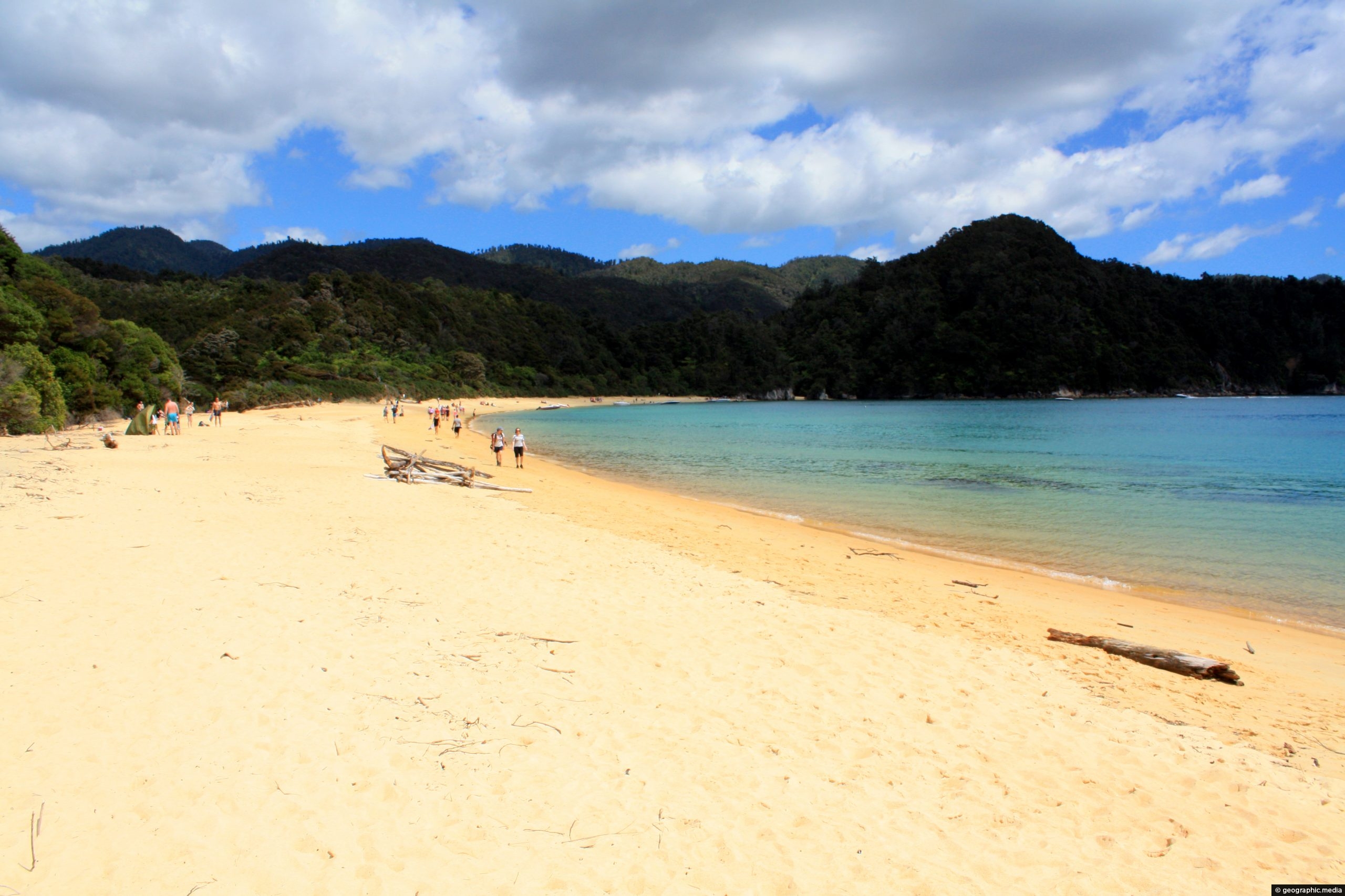
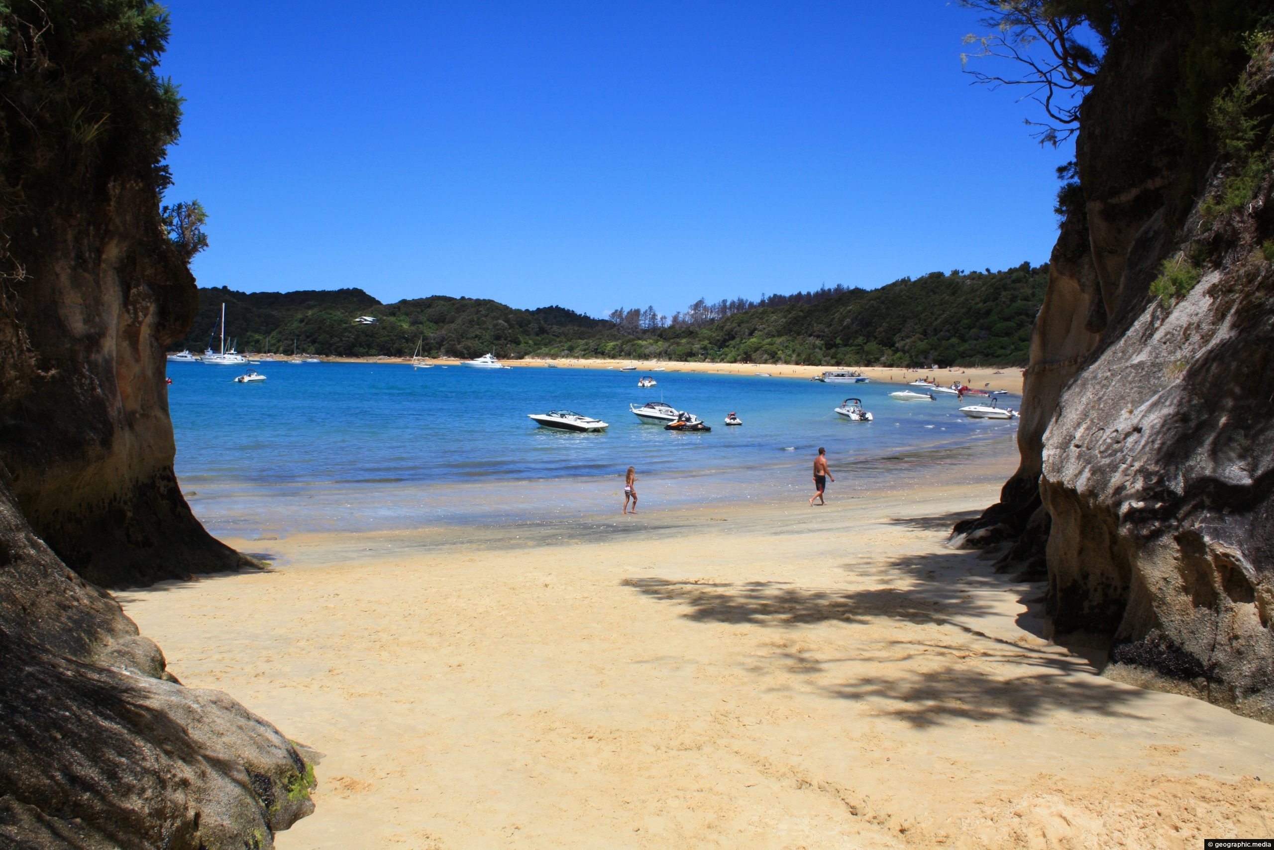
Each beach in Abel Tasman National Park has unique coloring in the sand. At Te Pukeatea Bay for example, the sand has an almost orange tinge to it. The variation of color is caused by rivers washing down different mineral compositions toward each beach. Further, when the sand is wet the color becomes stronger.
ALL / Explore Oceania / Explore New Zealand / New Zealand Photos / Abel Tasman photos / Golden Sand on Te Pukeatea Bay
All original royalty-free photos, shareable maps, and informative articles.
Golden Sand on Te Pukeatea Bay
Page Views
This post has been viewed 562 times
Related Articles
-
Anchorage Sand Abel Tasman
Abel Tasman photos, Beaches, Landscape / Horizontal, Sea
Sitting on the sandy beach at Anchorage Bay in Abel Tasman National Park, looking out at the Tasman Sea....
-
Bayview Lookout Abel Tasman
Abel Tasman photos, Beaches, Landscape / Horizontal, Sea
View of Breaker Bay and Honey Moon Bay in Tasman Bay as seen from Bayview Lookout. Abel Tasman National Park can...
-
Anchorage Bay View
Abel Tasman photos, Beaches, Landscape / Horizontal, Sea
Looking at the deep blue water of Tasman Sea at Anchorage Bay, as seen from Anchorage Hut in New...
-
Eastern Te Pukeatea Bay
Abel Tasman photos, Beaches, Boats, Landscape / Horizontal, Sea, Transport
View of the eastern part of Te Pukeatea Bay in Abel Tasman National Park, New Zealand. This area is...
-
Abel Tasman Golden Sand
Abel Tasman photos, Beaches, Landscape / Horizontal
View of golden sand which appears on a number of beaches within New Zealand’s Abel Tasman National Park. Sand...
-
Sandy Bay Abel Tasman
Abel Tasman photos, Beaches, Landscape / Horizontal, Sea
Sandy Bay is the first bay in Abel Tasman located before the Marahau entrance to the eastern end of...
-
West Anchorage Bay Abel Tasman
Abel Tasman photos, Beaches, Landscape / Horizontal, Sea
View from the western end of Anchorage Bay in Abel Tasman National Park.
-
Totaranui Beach
Abel Tasman photos, Beaches, Landscape / Horizontal, Sea
Totaranui Beach in Abel Tasman National Park is about 1 km long. Behind the beach is a large campsite...
0 Comments
Calendar
M | T | W | T | F | S | S |
---|---|---|---|---|---|---|
1 | 2 | |||||
3 | 4 | 5 | 6 | 7 | 8 | 9 |
10 | 11 | 12 | 13 | 14 | 15 | 16 |
17 | 18 | 19 | 20 | 21 | 22 | 23 |
24 | 25 | 26 | 27 | 28 |
Popular Posts
- Awakening New Zealand video (100)
- Iguazu Falls as seen from Brazil (87)
- Metrocable Medellin (78)
- Pauatahanui Inlet (69)
- Spinnaker Hill in Whitby Porirua (68)
- Spinnaker Hill View (68)
- View from Whitby (68)
- The Devil’s Throat (62)
- Aerial View of Iguazu Falls (61)
- Porirua Harbour & Papakowhai (57)
- Lake Wakatipu (57)
- Salto Rivadavia & Iguassu River (56)
- Lake Tekapo & Lupins (54)
- Nelson View (53)
- Salto Rivadavia Misiones Province (53)
- Cascadas at Iguazu (53)
Subjects
AccommodationAnimalsArchitectureBeachesBirdsBoatsBridgesBuildingsCarsChurchesCitiesCoralCultureExtra Wide HorizontalFlowersForestsHarborsHomesIslandsLakesLandscape / HorizontalMapsMenMonumentsMountainsPalmsParksPeoplePlantsPortrait / VerticalRiversRoadsRuralSeaShopsSkyscrapersSnowSunsetsTownsTrailsTransportTreesVideosVolcanicWaterfalls
Recent Comments
- Lance on Concrete Hut Wainuiomata
- Tony on Concrete Hut Wainuiomata
- DavidJ on Wellington Night Skyline
- Ben on Auckland City Skyline from Westhaven Marina in 1998
- Ben on Auckland Harbour Bridge view