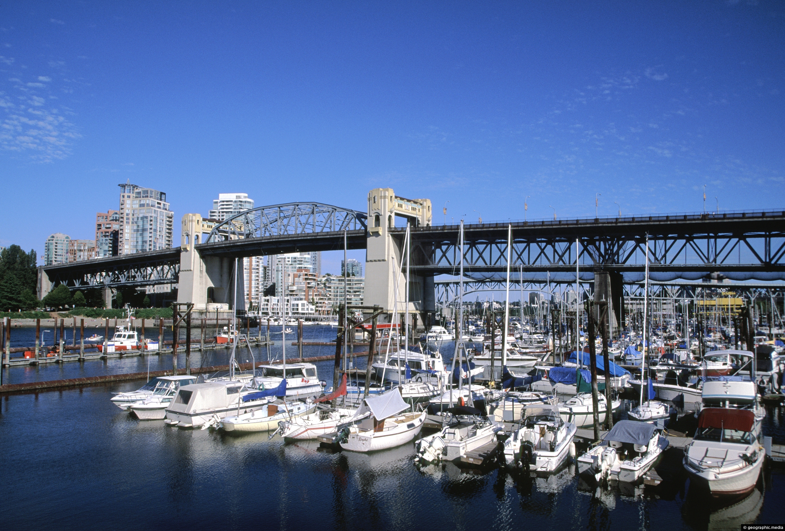
Burrard Bridge in Vancouver (circa 2003) as seen from Seaside Bicycle Route. Construction of the bridge took place between 1930 and 1932.
ALL / Explore North America / Explore Canada / Canada Photos / Vancouver photos / Burrard Bridge Vancouver in 2003
All original royalty-free photos, shareable maps, and informative articles.
Burrard Bridge Vancouver in 2003
Page Views
This post has been viewed 4,210 times
Related Articles
-
Capilano River in Vancouver BC
Vancouver photos, Forests, Portrait / Vertical, Rivers
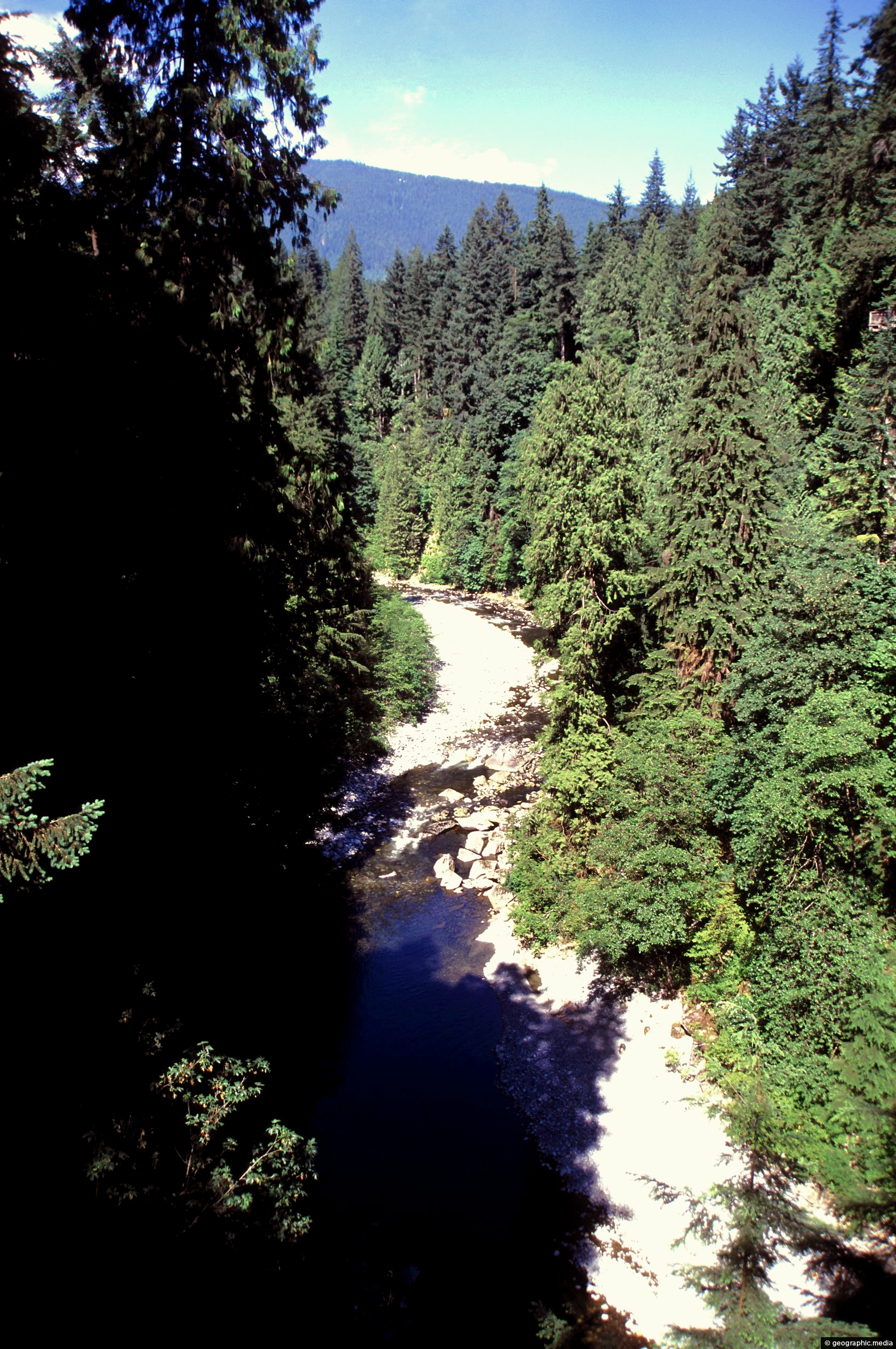
Capilano River in Vancouver flows from the North Shore to Burrard Inlet. It flows through temperate rainforest and a...
-
Bathing Grizzly Bear in the North Shore Mountains
Vancouver photos, Animals, Landscape / Horizontal, Mammals
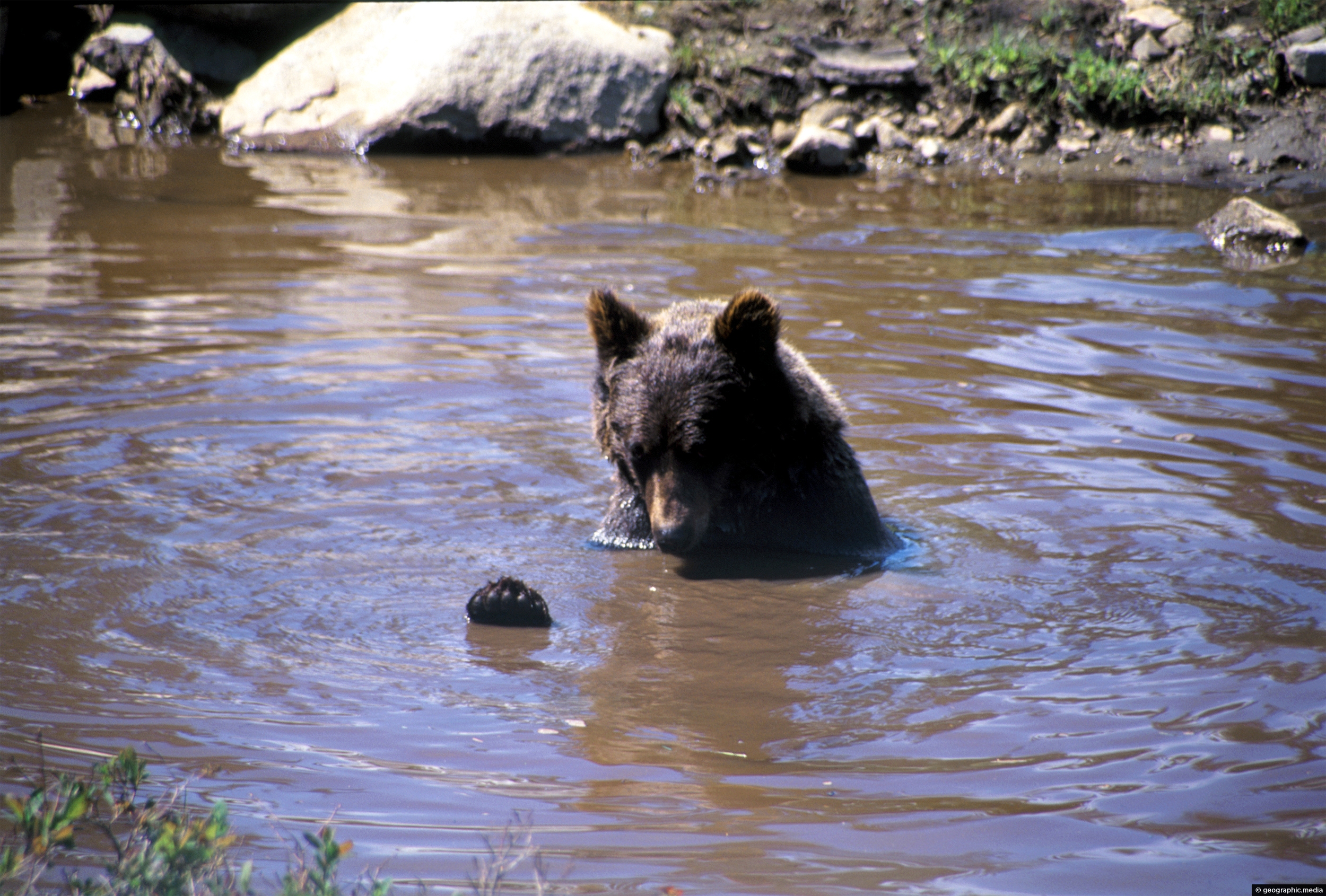
A beer cooling down in a pool in the North Shore Mountains. Grizzly Bears are a subspecies of brown...
-
Temperate Rainforest in Vancouver
Vancouver photos, Bridges, Forests, Landscape / Horizontal, Trees
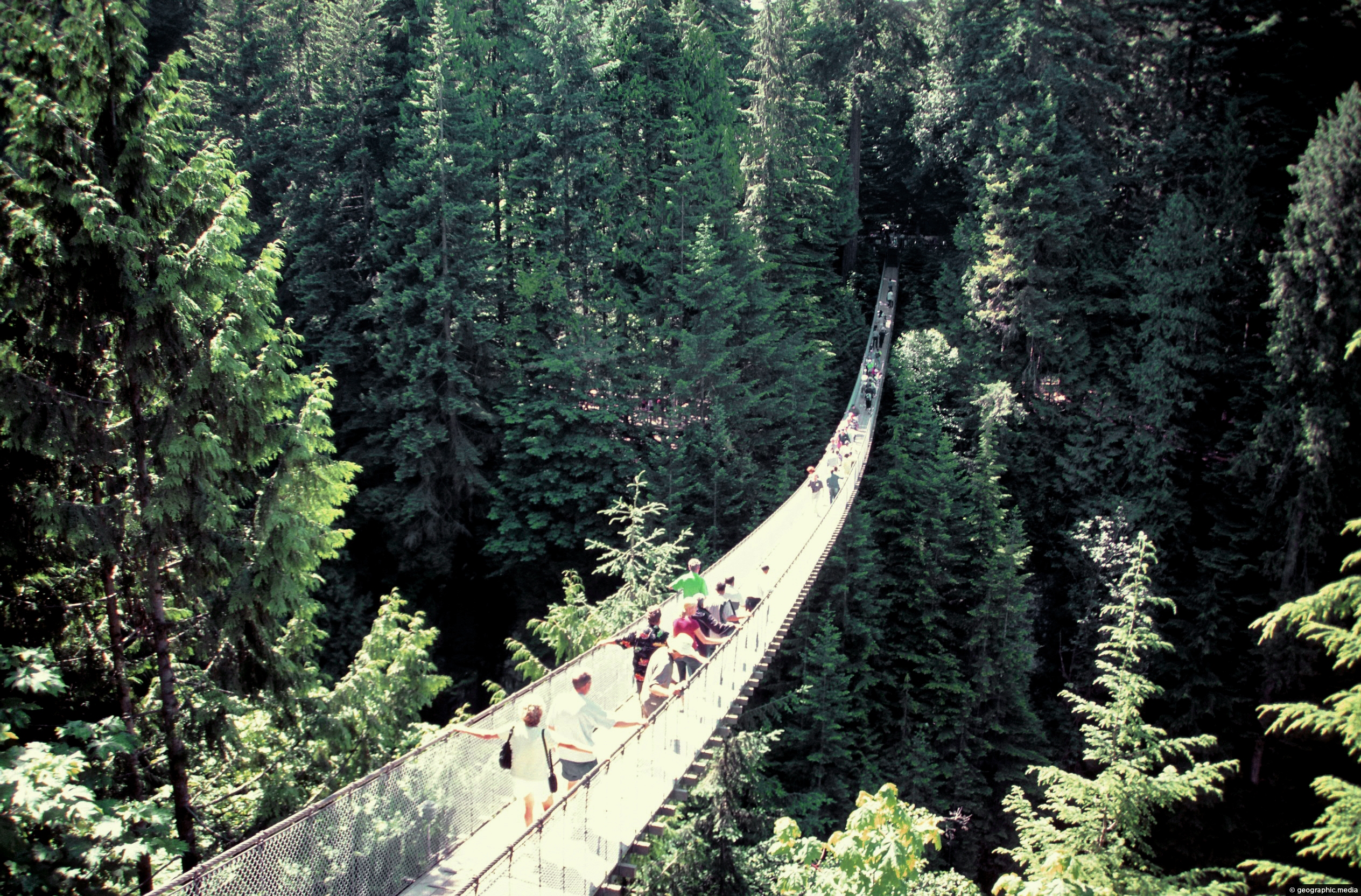
Capilano River Regional Park has a long suspension bridge that spans the Capilano River. It leads you to a...
-
The Traditional Dress of Canada
Vancouver photos, People, Portrait / Vertical, Women
The attire of early Canadian settlers was influenced by the fashion trends of 17th and 18th century Europe, while...
-
False Creek and Vancouver Skyline
Vancouver photos, Bridges, Buildings, Cities, Landscape / Horizontal, Sea, Skyscrapers
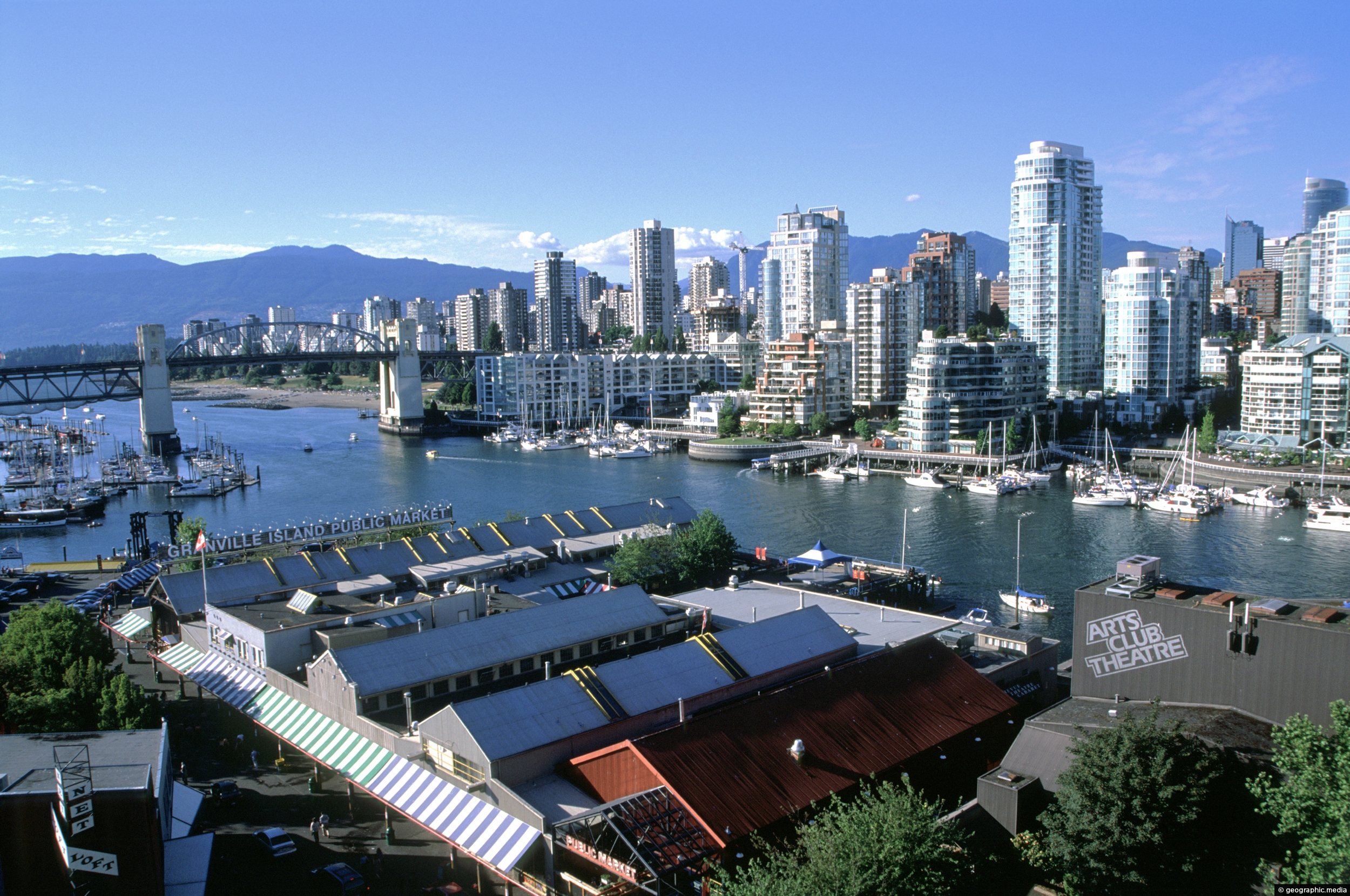
View of False Creek and the Vancouver the city skyline as seen from Granville Bridge. The bridge in view...
-
Supreme Court of British Columbia
Vancouver photos, Buildings, Cities, Landscape / Horizontal
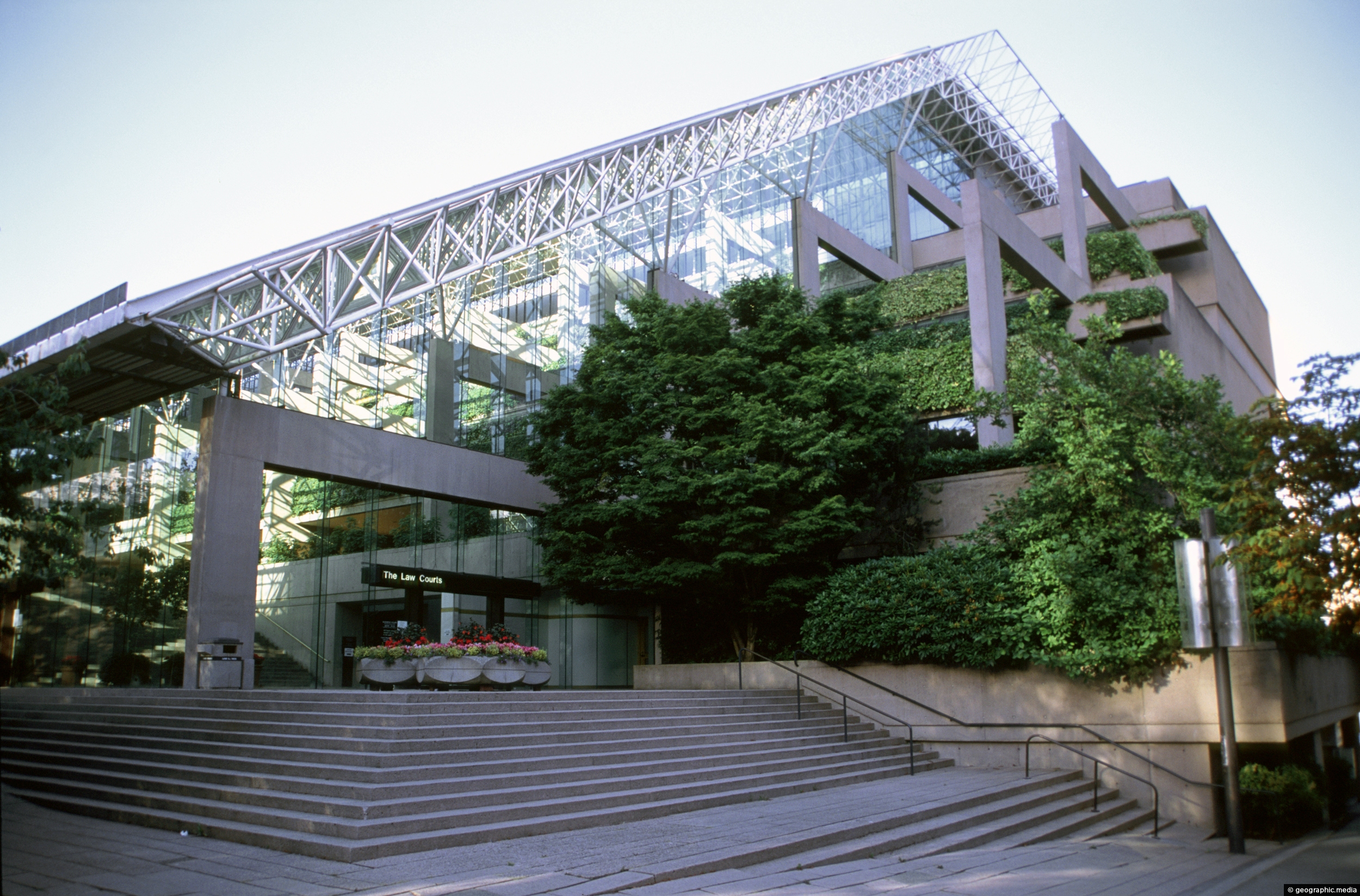
View of the Supreme Court of British Columbia (BCSC). This court hears civil and criminal law cases as well...
-
Green Maple Leaves in Summer
Vancouver photos, Landscape / Horizontal, Trees
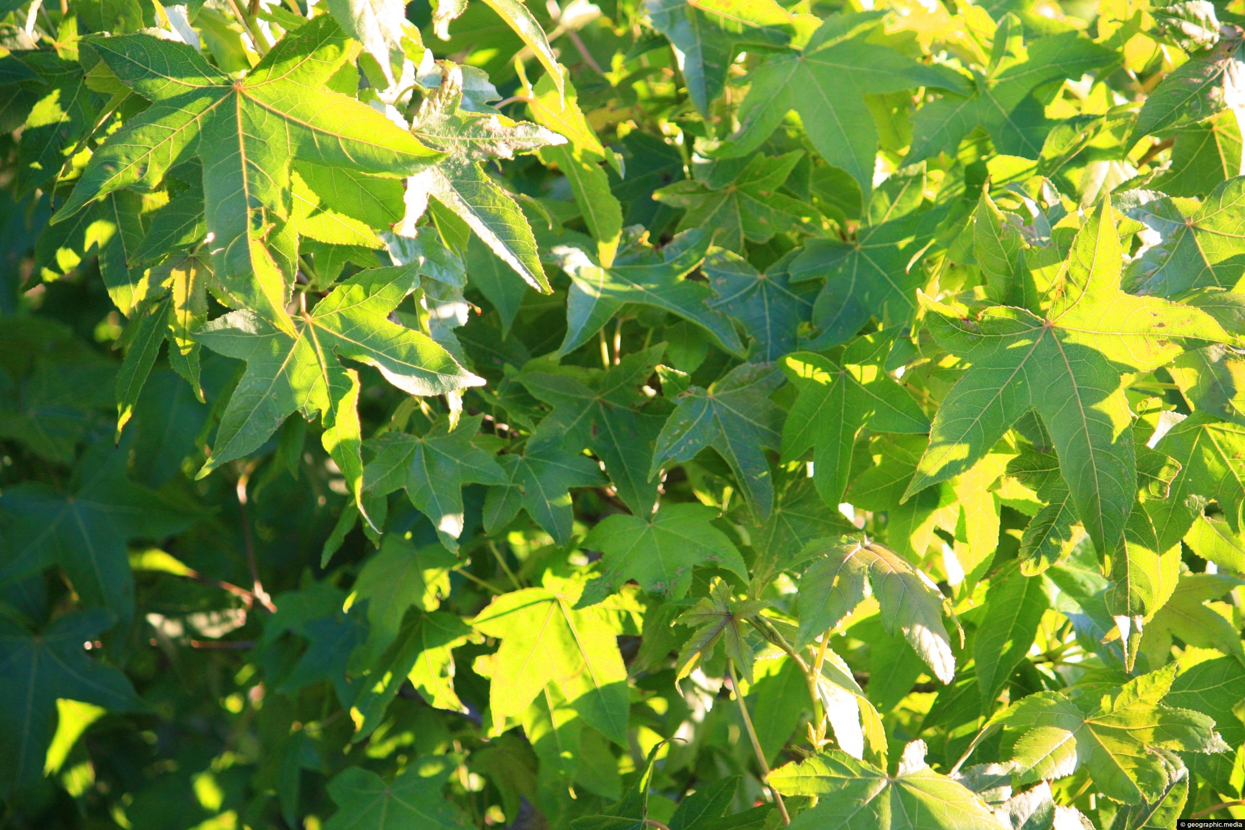
A Canadian maple in summer showing green leaves. During fall, maple’s are famous for their red and yellow leaf...
-
Downtown Vancouver in British Columbia
Vancouver photos, Boats, Buildings, Cities, Landscape / Horizontal, Sea, Skyscrapers
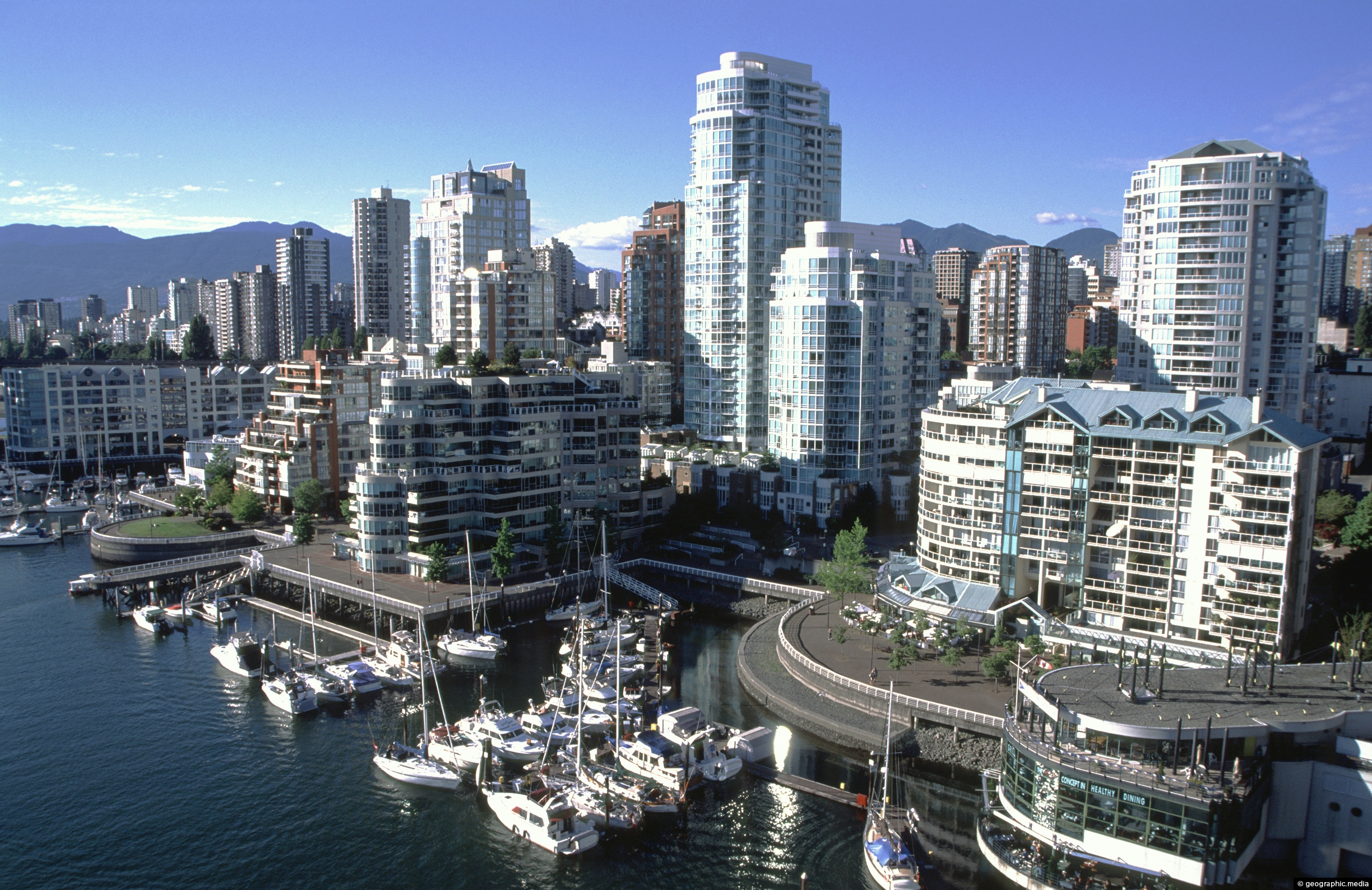
Buildings crowded together in downtown Vancouver with False Creek in view. Also, the Northshore Mountains can be seen in...
0 Comments
Latest Posts
Popular Posts
- Awakening New Zealand video (100)
- Iguazu Falls as seen from Brazil (86)
- Metrocable Medellin (77)
- Spinnaker Hill View (68)
- Pauatahanui Inlet (68)
- View from Whitby (68)
- Spinnaker Hill in Whitby Porirua (67)
- The Devil’s Throat (62)
- Aerial View of Iguazu Falls (61)
- Porirua Harbour & Papakowhai (57)
- Lake Wakatipu (57)
- Salto Rivadavia & Iguassu River (56)
- Lake Tekapo & Lupins (54)
- Cascadas at Iguazu (53)
- Close up of Salto Rivadavia (53)
- Salto Rivadavia Misiones Province (53)
Subjects
AccommodationAnimalsArchitectureBeachesBirdsBoatsBridgesBuildingsCarsChurchesCitiesCliffsCoralCultureExtra Wide HorizontalFlowersForestsHarborsHomesIslandsLakesLandscape / HorizontalMapsMenMonumentsMountainsPalmsParksPeoplePlantsPortrait / VerticalRiversRoadsRuralSeaShopsSkyscrapersSnowSunsetsTownsTransportTreesVideosVolcanicWaterfalls
Recent Comments
- Lance on Concrete Hut Wainuiomata
- DavidJ on Concrete Hut Wainuiomata
- Tony on Concrete Hut Wainuiomata
- DavidJ on Wellington Night Skyline
- Ben on Auckland City Skyline from Westhaven Marina in 1998