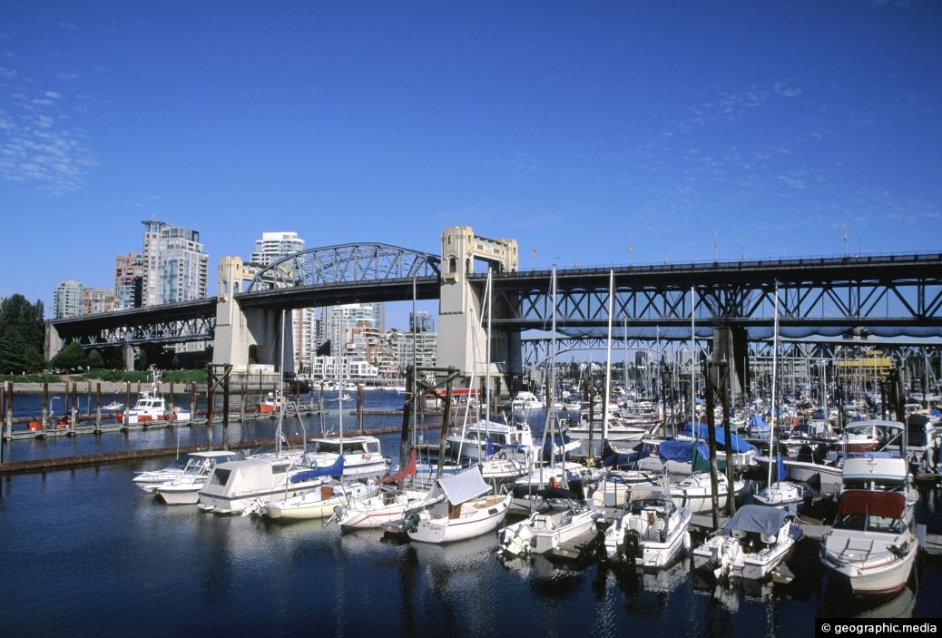
Burrard Bridge in Vancouver (circa 2003) as seen from Seaside Bicycle Route. Construction of the bridge took place between 1930 and 1932.
ALL / Explore North America / Explore Canada / Canada Photos / Vancouver photos / Burrard Bridge Vancouver in 2003
All original royalty-free photos, shareable maps, and informative articles.
Burrard Bridge Vancouver in 2003
Page Views
This post has been viewed 4,573 times
Related Articles
-
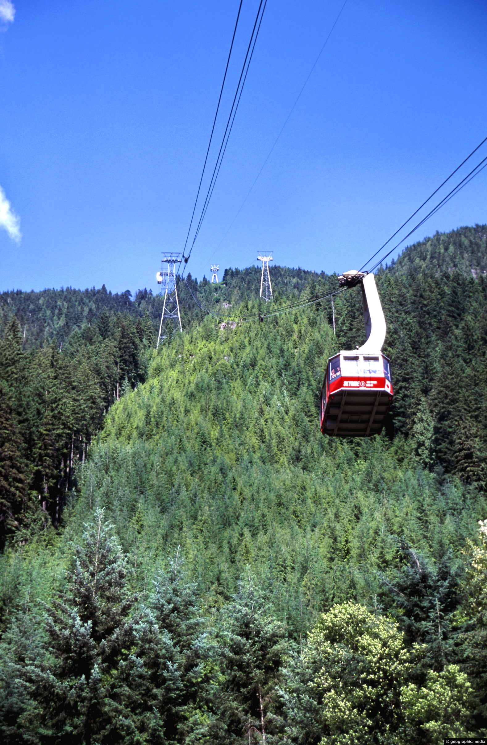
Grouse Mountain Skyride in Vancouver
Vancouver photos, Forests, Mountains, Portrait / Vertical, Transport
View of Skyride and Grouse Mountain on the outskirts of Vancouver. The trip gives breathtaking views of the city...
-
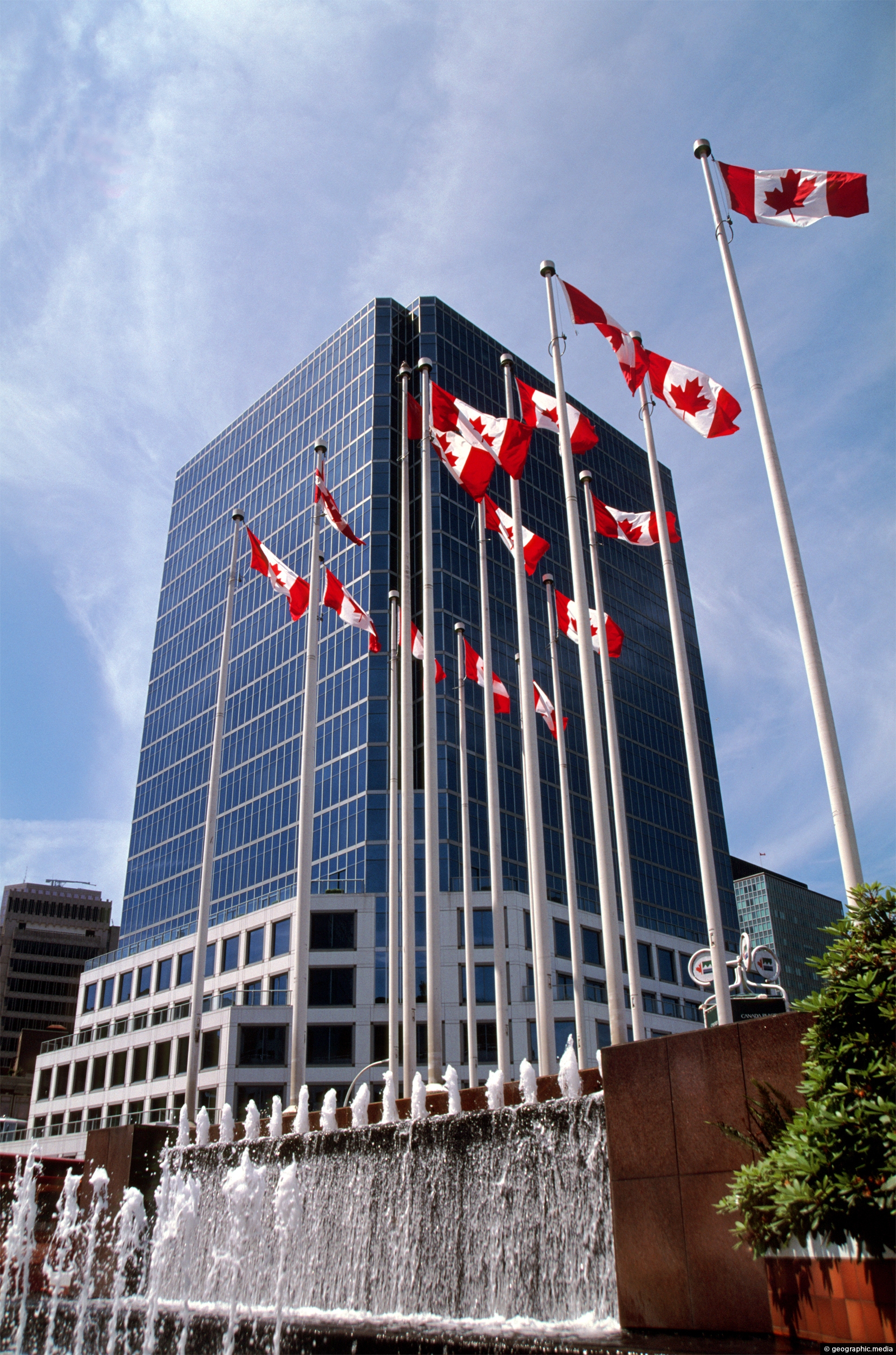
Fountains and Flags at Canada Place
Vancouver photos, Buildings, Flags, Portrait / Vertical
Canadian flags and water fountain at Canada Place in Vancouver BC. The main building in view is the Waterfront...
-
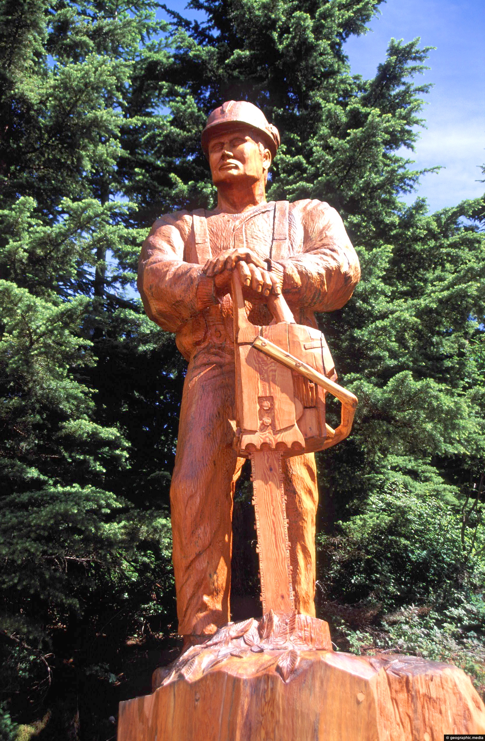
Sculpture on Grouse Mountain
Vancouver photos, Carvings, Portrait / Vertical
There are about a dozen carved wooden sculptures atop Grouse Mountain. These carvings become buried by snow in winter...
-
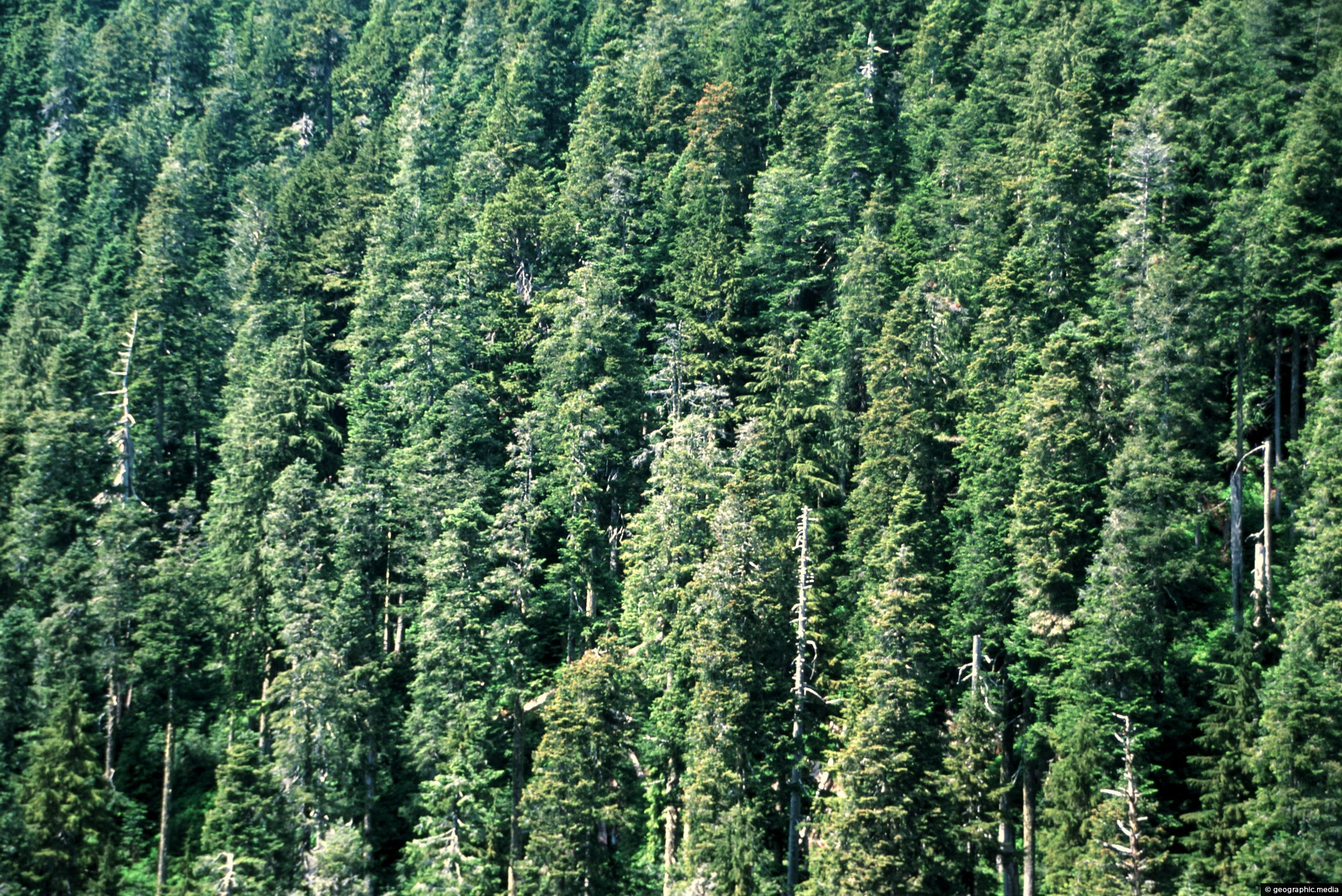
Douglas Fir Forest
Vancouver photos, Forests, Landscape / Horizontal
View of a Douglas Fir forest on the slopes of the North Shore Mountains of British Columbia.
-
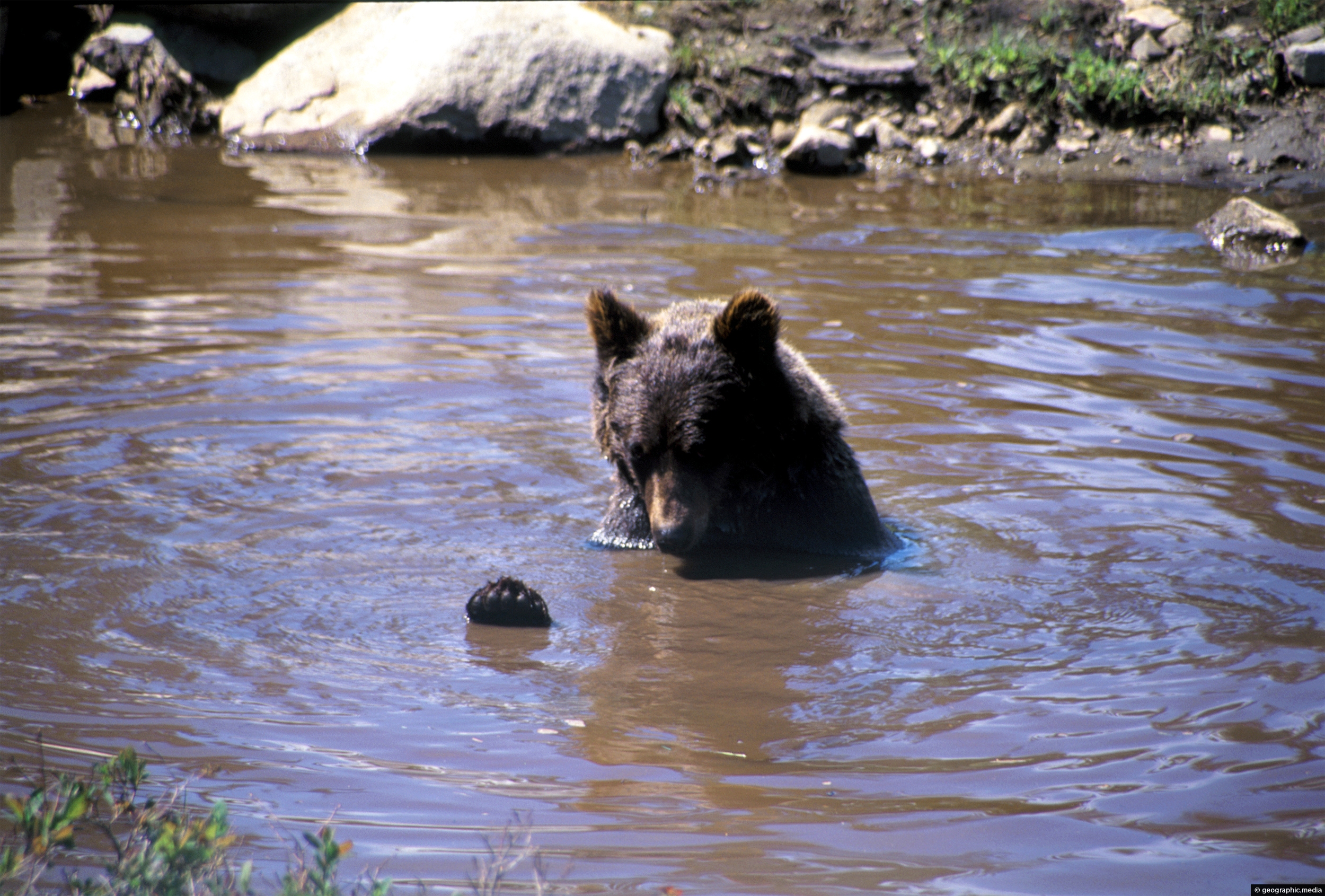
Bathing Grizzly Bear in the North Shore Mountains
Vancouver photos, Animals, Landscape / Horizontal, Mammals
A beer cooling down in a pool in the North Shore Mountains. Grizzly Bears are a subspecies of brown...
-
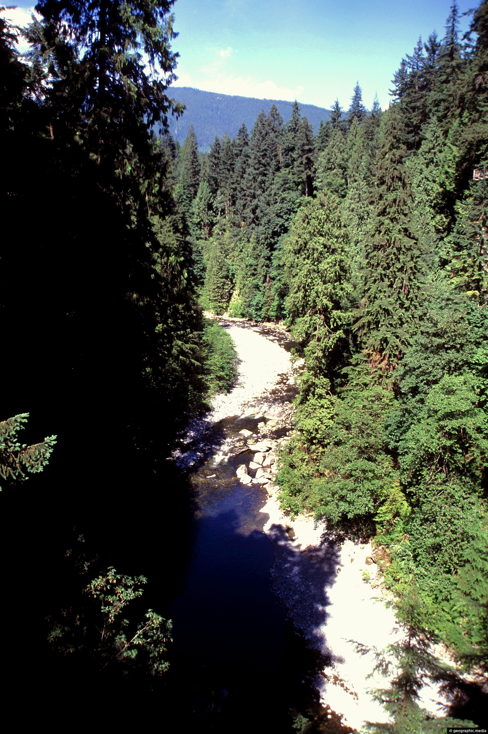
Capilano River in Vancouver BC
Vancouver photos, Forests, Portrait / Vertical, Rivers
Capilano River in Vancouver flows from the North Shore to Burrard Inlet. It flows through temperate rainforest and a...
-
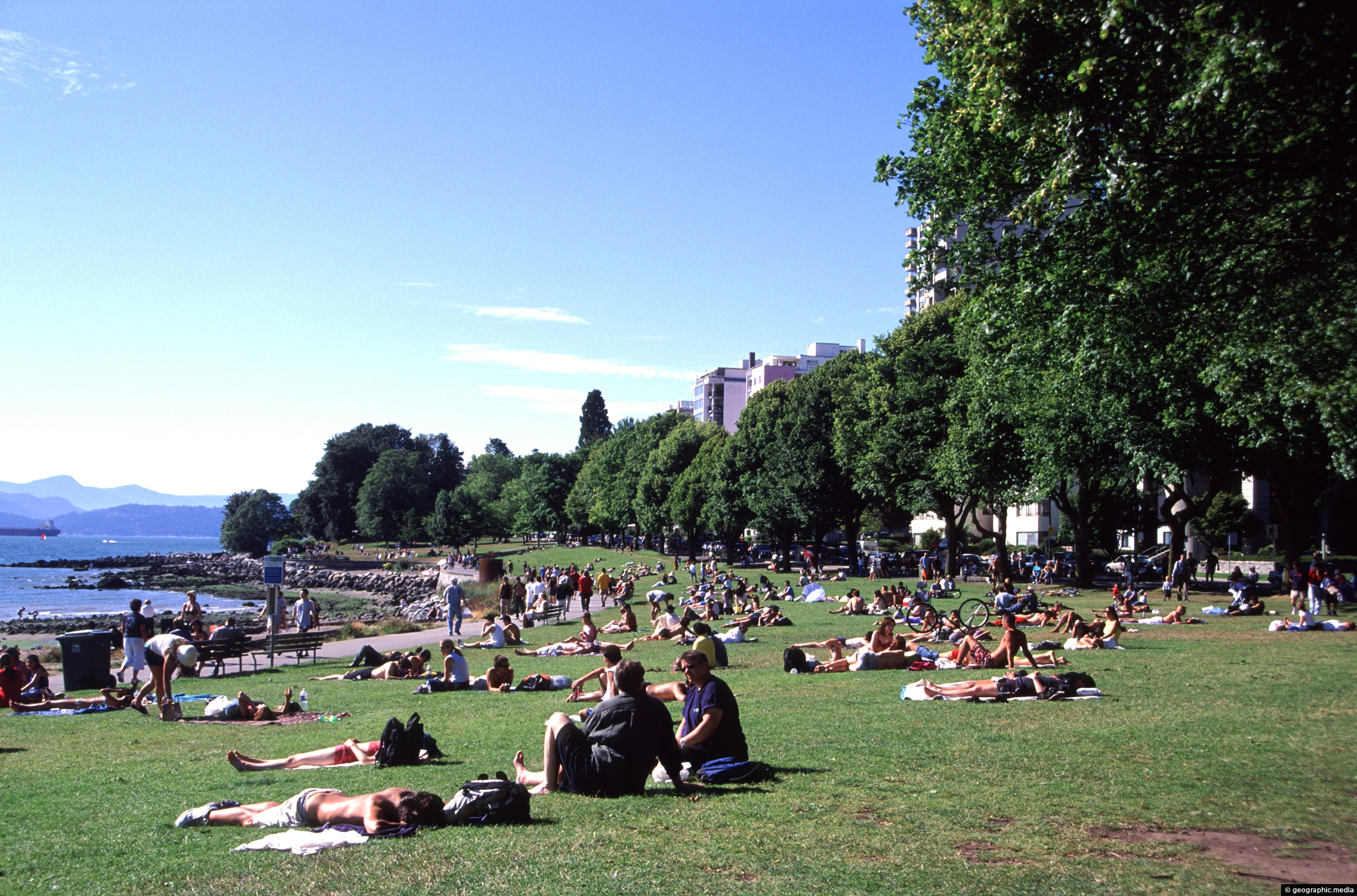
Dog Park in Vancouver Canada
Vancouver photos, Beaches, Cities, Landscape / Horizontal, Parks
Lazing in the sun at Dog Park in Vancouver. A favorite place for picnics or lunch on warm summer...
-
Cruise Ship docked at Canada Place
Vancouver photos, Architecture, Boats, Buildings, Cities, Landscape / Horizontal, Sea, Transport
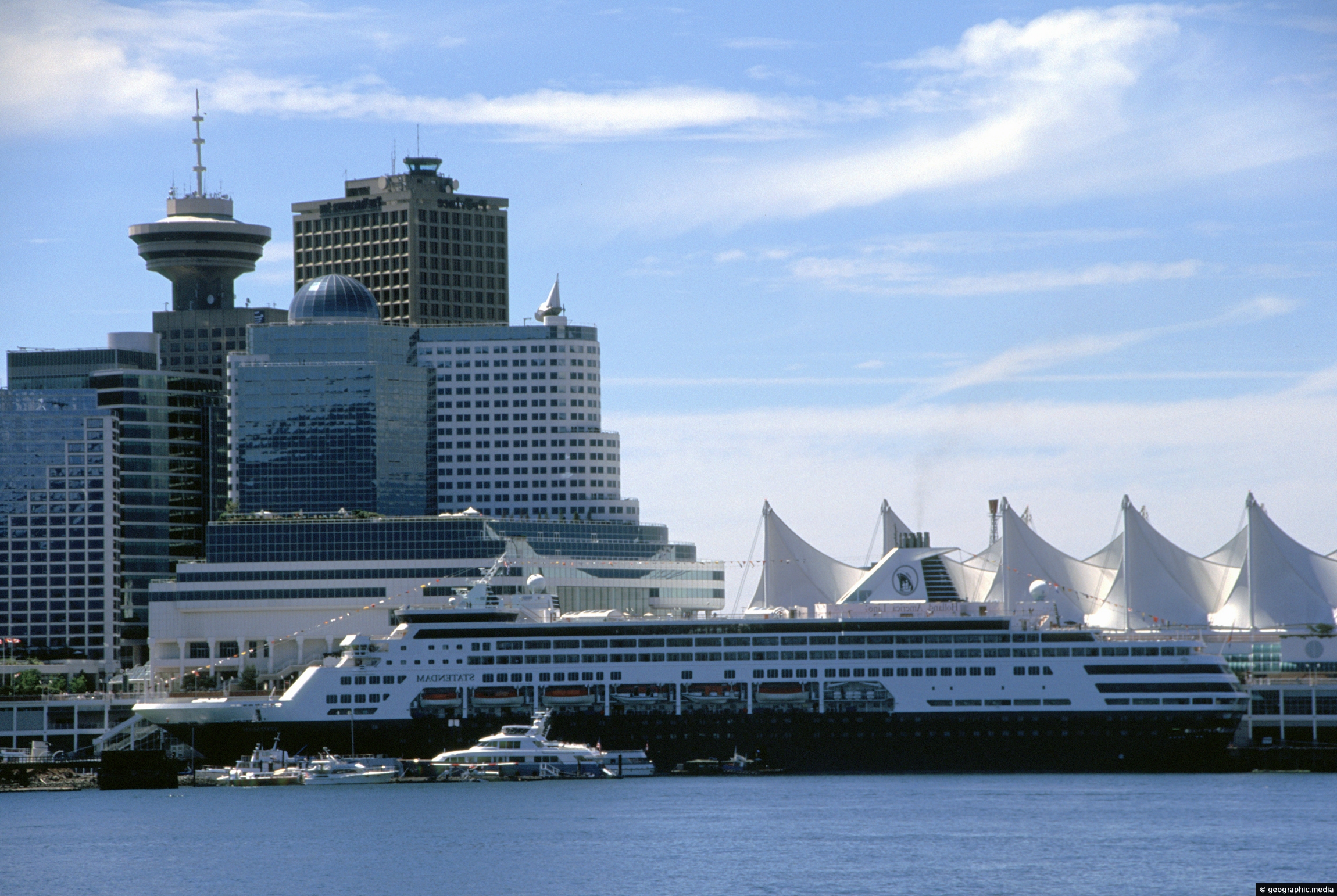
Canada Place is an iconic landmark and venue in the city of in Vancouver. Pictured is a cruise ship...
0 Comments
Calendar
| M | T | W | T | F | S | S |
|---|---|---|---|---|---|---|
| 1 | 2 | 3 | 4 | |||
| 5 | 6 | 7 | 8 | 9 | 10 | 11 |
| 12 | 13 | 14 | 15 | 16 | 17 | 18 |
| 19 | 20 | 21 | 22 | 23 | 24 | 25 |
| 26 | 27 | 28 | 29 | 30 | 31 | |
Popular Posts
- Awakening New Zealand video (100)
- Iguazu Falls as seen from Brazil (87)
- Metrocable Medellin (78)
- Pauatahanui Inlet (69)
- Spinnaker Hill View (68)
- Spinnaker Hill in Whitby Porirua (68)
- View from Whitby (68)
- The Devil’s Throat (62)
- Aerial View of Iguazu Falls (61)
- Porirua Harbour & Papakowhai (57)
- Lake Wakatipu (57)
- Salto Rivadavia & Iguassu River (56)
- Lake Tekapo & Lupins (54)
- Nelson View (53)
- Salto Rivadavia Misiones Province (53)
- Cascadas at Iguazu (53)
Subjects
AccommodationAnimalsArchitectureBeachesBirdsBoatsBridgesBuildingsCarsChurchesCitiesCoralCultureExtra Wide HorizontalFlowersForestsHarborsHomesIslandsLakesLandscape / HorizontalMapsMenMonumentsMountainsPalmsParksPeoplePlantsPortrait / VerticalRiversRoadsRuralSeaShopsSkyscrapersSnowSunsetsTownsTrailsTransportTreesVideosVolcanicWaterfalls
Recent Comments
- Lance on Concrete Hut Wainuiomata
- Tony on Concrete Hut Wainuiomata
- DavidJ on Wellington Night Skyline
- Ben on Auckland City Skyline from Westhaven Marina in 1998
- Ben on Auckland Harbour Bridge view

