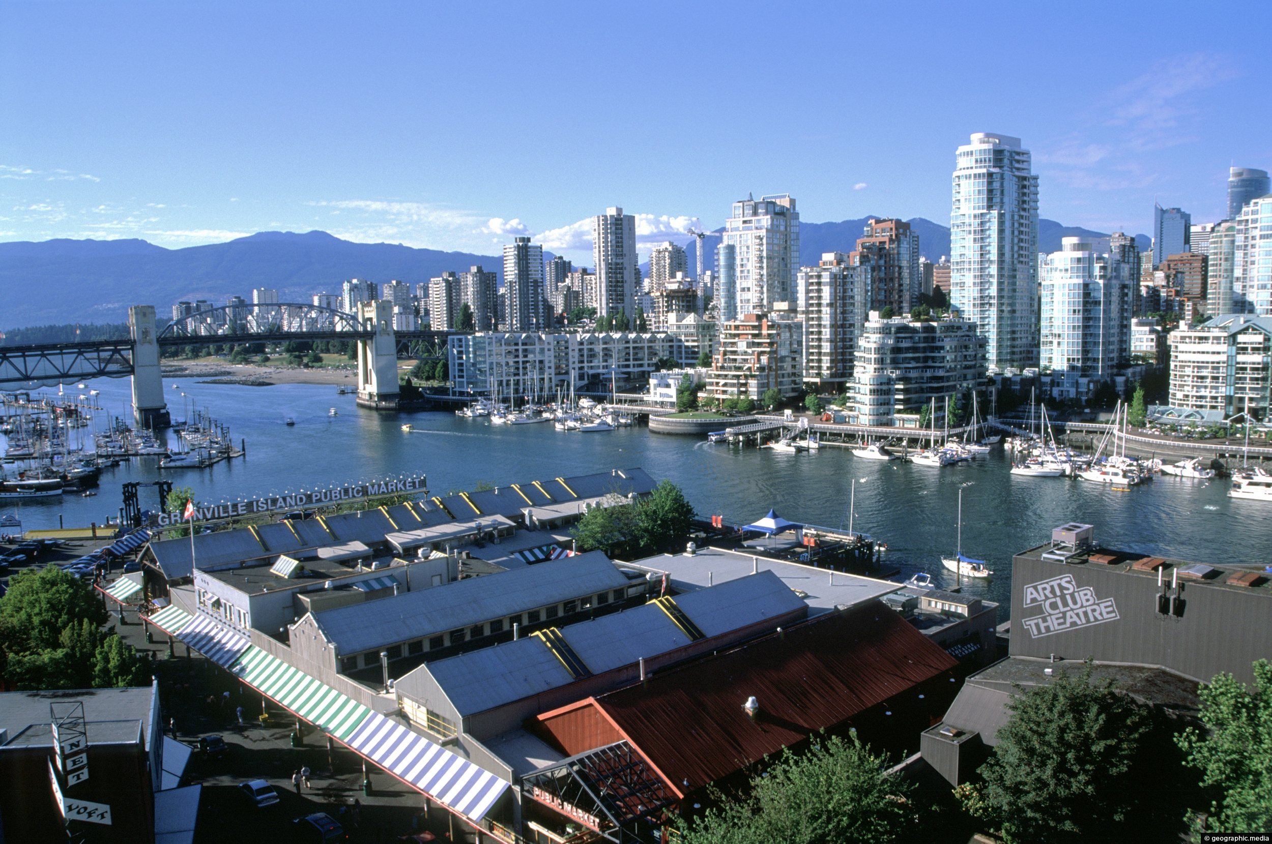
View of False Creek and the Vancouver the city skyline as seen from Granville Bridge. The bridge in view is Burrard Street Bridge.
Click Jigshare icon to turn the image into a jigsaw. Or click on photo to download or view full screen image.

View of False Creek and the Vancouver the city skyline as seen from Granville Bridge. The bridge in view is Burrard Street Bridge.
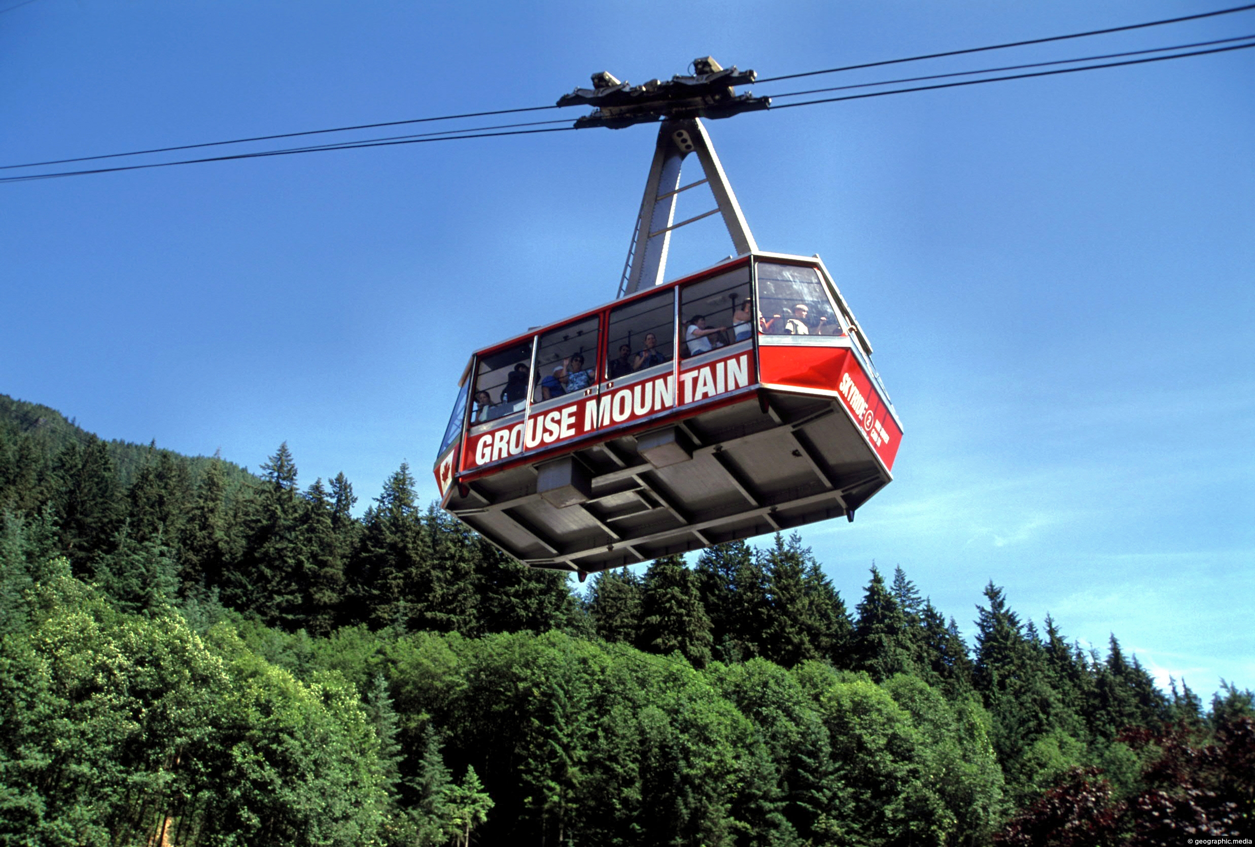
The Grouse Mountain Skyride is an aerial tramway system that connects Vancouver to the top of Grouse Mountain. The...
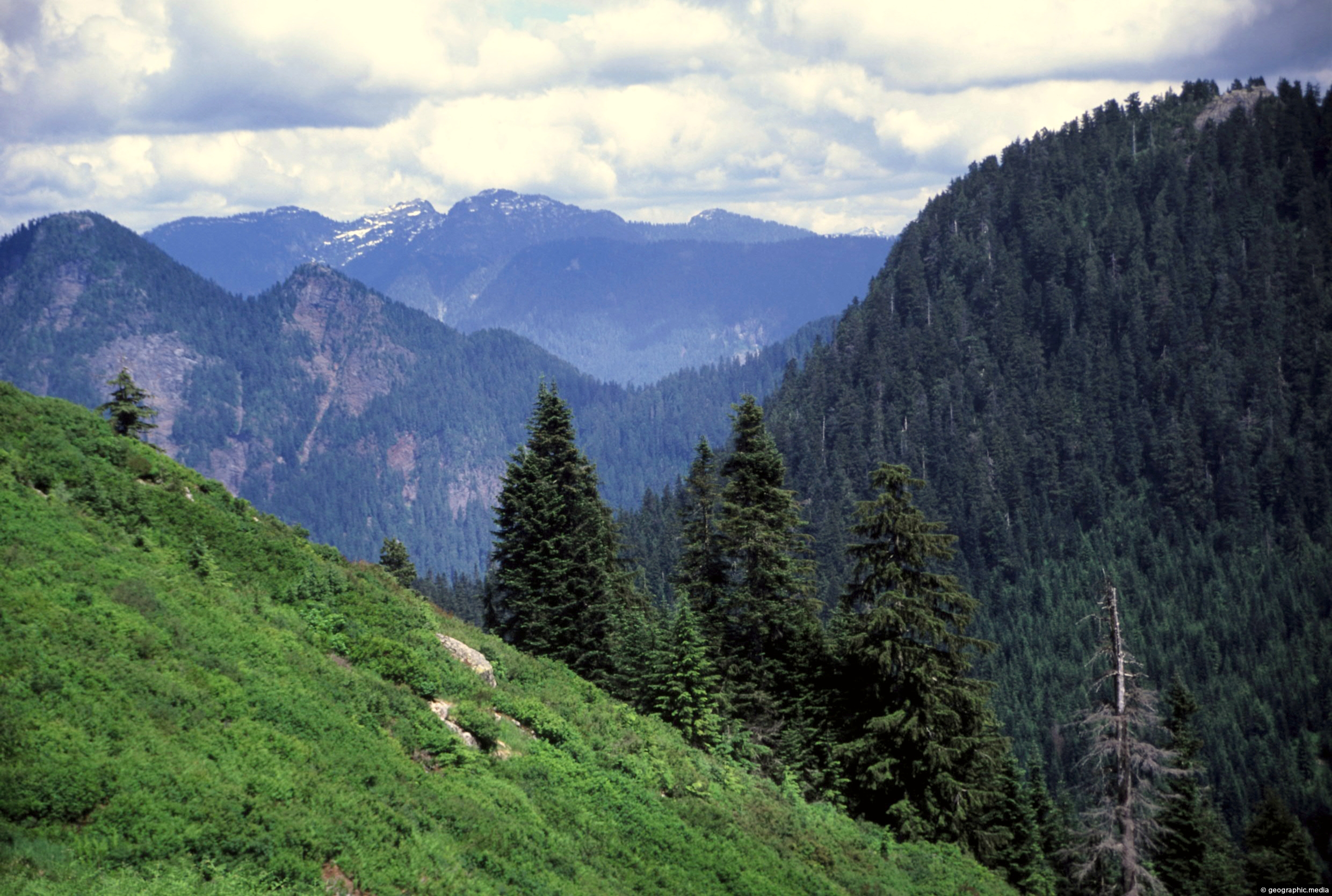
View of the North Shore Mountains near Vancouver. These mountains form a spectacular backdrop for the city and contain...
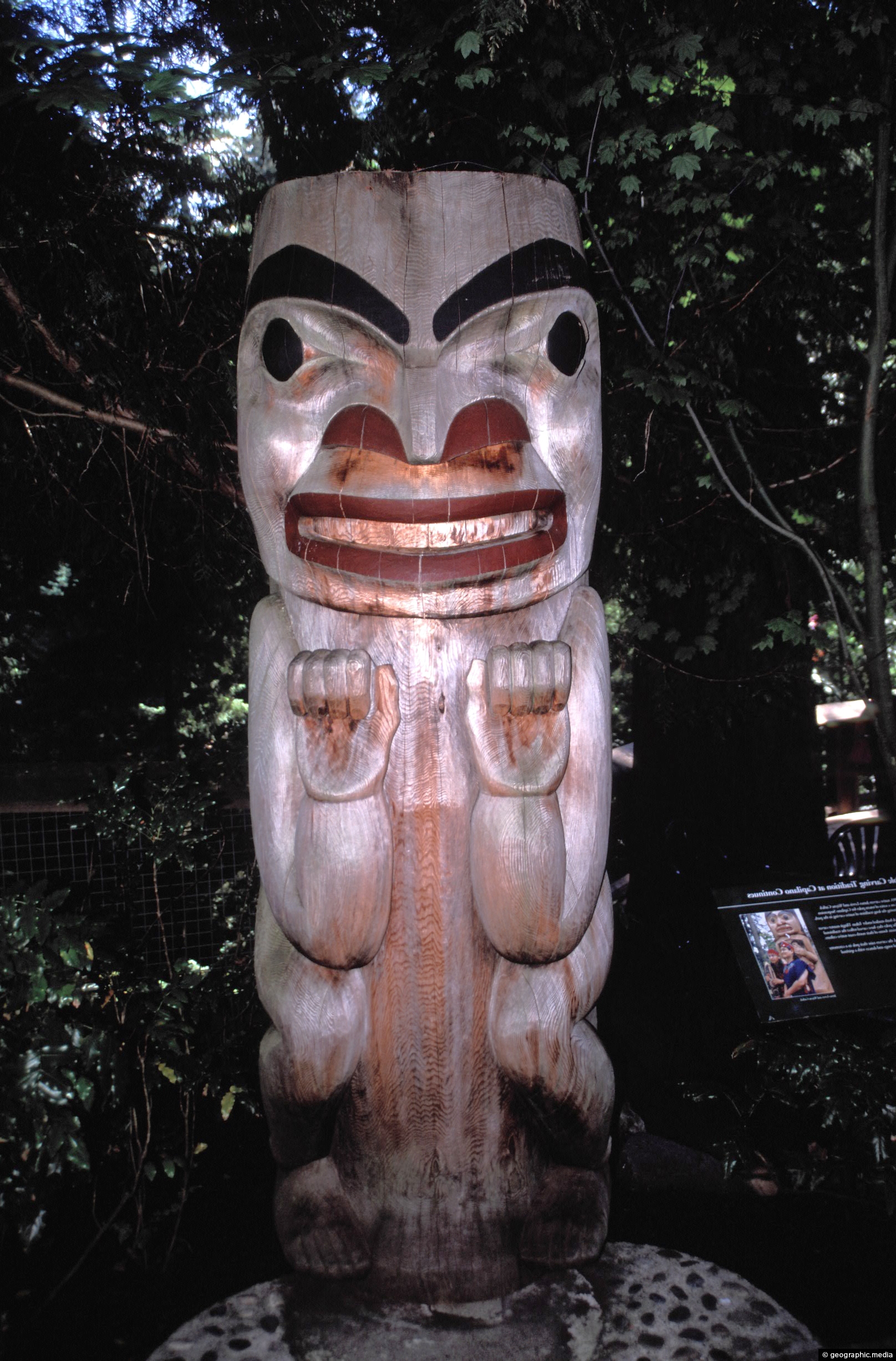
A totem pole atop Grouse Mountain on the outskirts of Vancouver. Another area in Vancouver containing totems is Stanley...
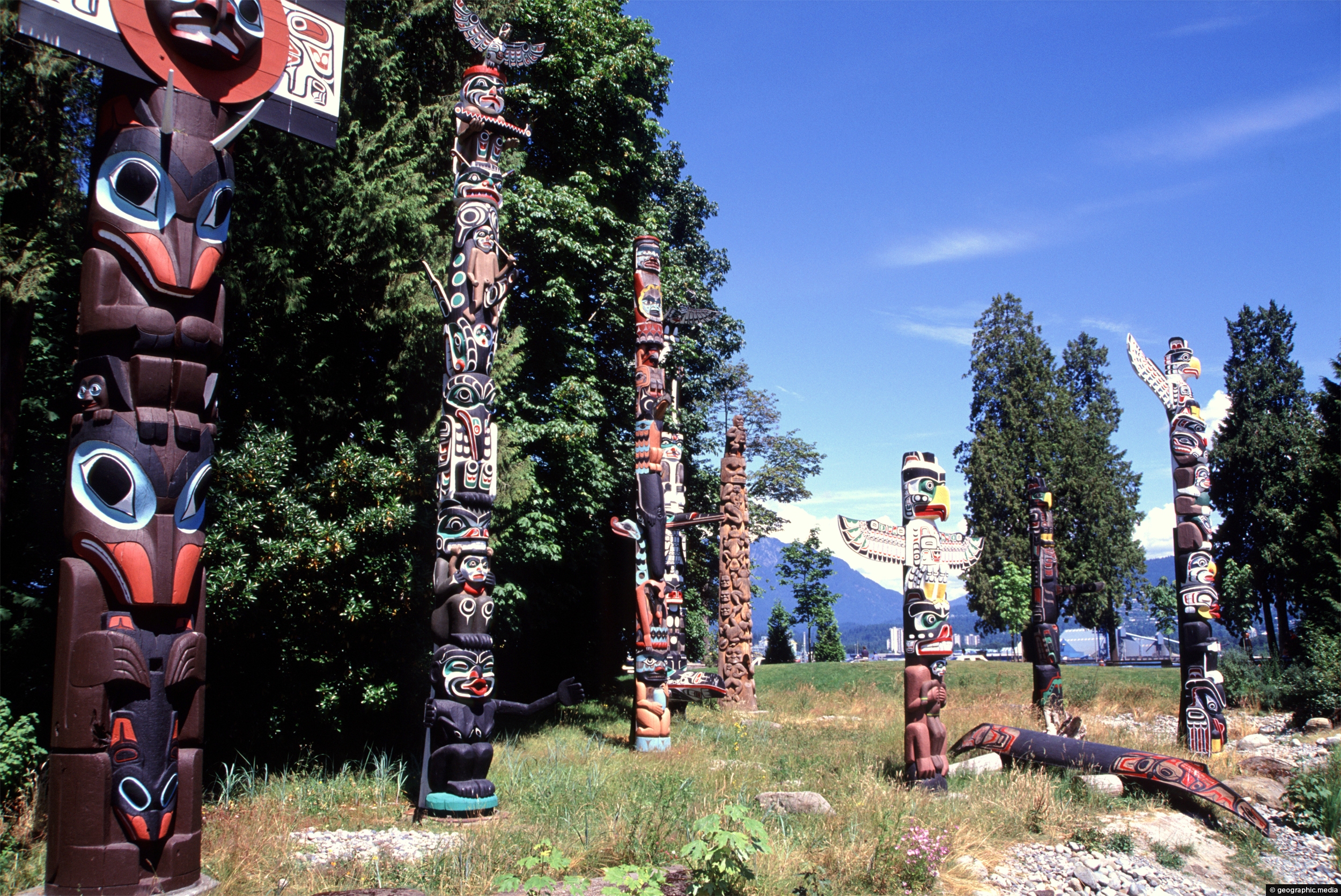
Totem poles displayed at Brockton Point in Stanley Park, Vancouver. These totem poles are wonderful pieces of BC First...
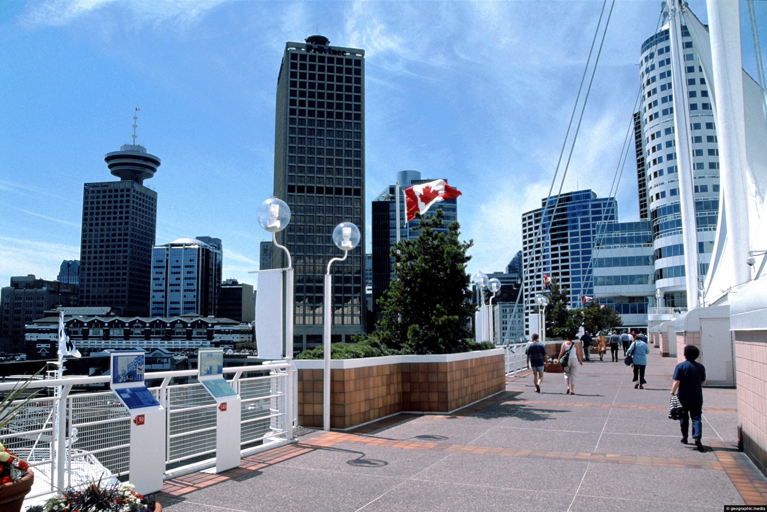
View of Canada Place at Burrard Inlet. This popular tourist area is home to the Vancouver Convention Centre and...
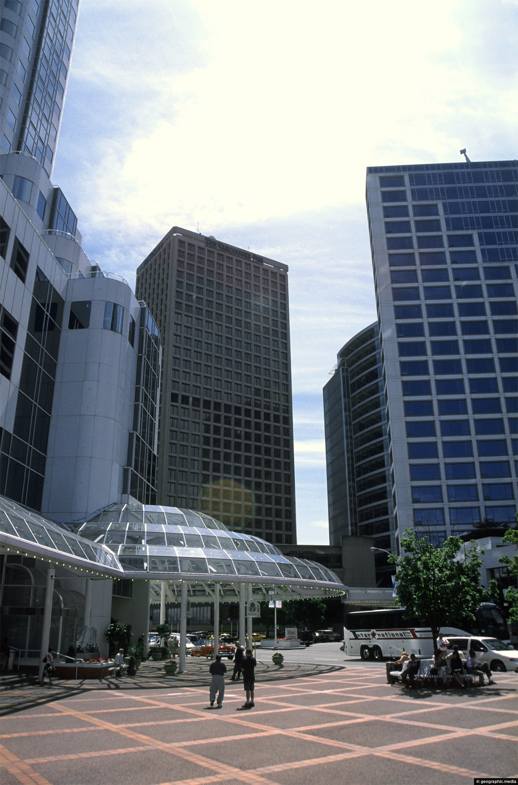
Portrait view of a square and surrounding buildings in downtown Vancouver.
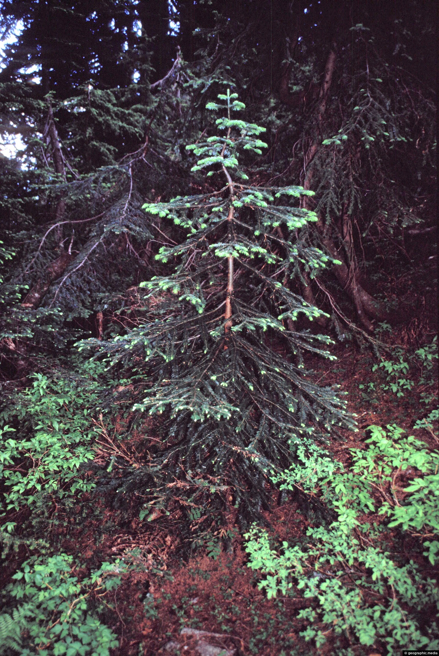
A young Douglas Fir tree in a British Columbia forest. They are an evergreen conifer endemic to western North...
