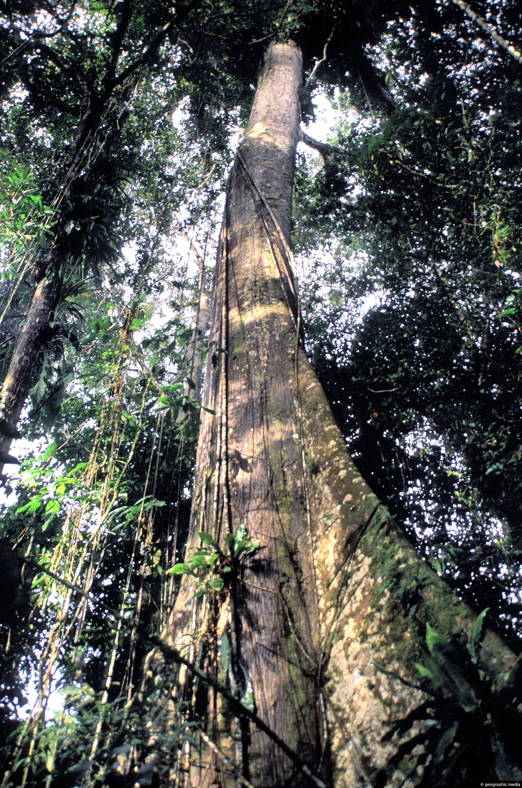
An emergent is a tree that rises above the forest canopy in order to get more light. The Amazon...
Colombia Photos
About Colombia
Our photos of Colombia were taken from a variety of locations and landscapes around the country. We started in Bogota the capital city and explored both the rich and poorer suburbs as well as the central business district. Next we visited Medellin and explored that city extensively using the train and cable car system to gain access to poorer suburbs a top the city’s slopes and down in the valley to see a number of famous tourist attractions. We also traveled to a number of smaller towns and settlements including: Anapoima, Guatavita, Villa de Leyva, and Puerto Narino.
We struck out further afield to the Caribbean islands of San Andreas and Providencia where we met friendly locals, learned about the islands pirate history, saw incredible beaches, and swam in a sea of stunning blue.
In another trip we ventured south to the upper Amazon region where we visited some local tribes and trekked through the world’s largest rain forest.
Our photos of Colombia include images of cities, towns, coastline, landscapes, flora and fauna, as well as the Colombian people. Some of our photos date as far back as 2002, with another collection taken in 2009.
Using our photos
The photos can be used without permission in school projects and websites so long as the photos are not altered in any way except resizing. Do not crop the photos and in particular do not remove the watermark in the bottom-right corner. You must give attribution if you use our photos.
For more information about using our photos, visit the About Us page.
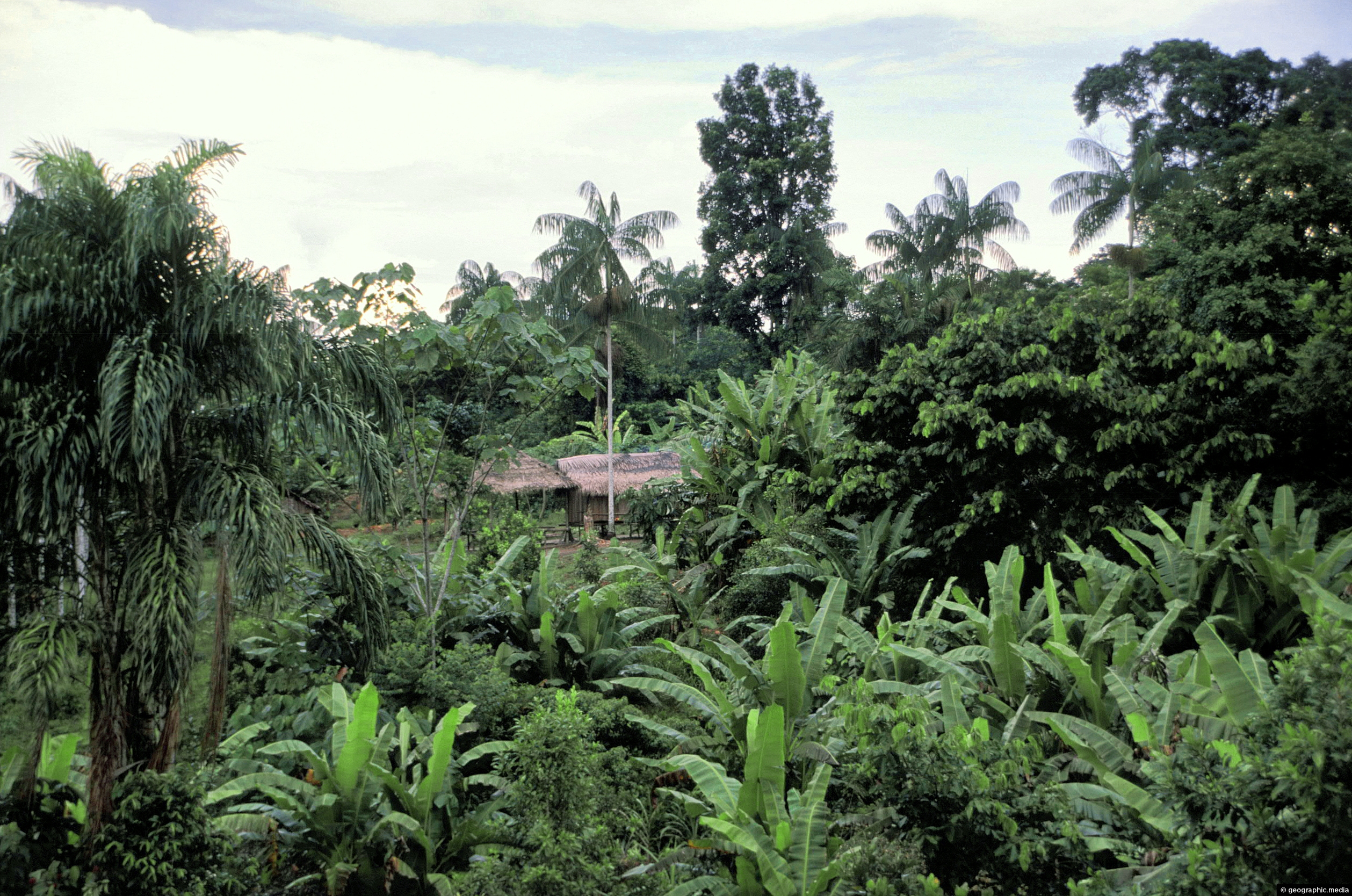
A small clearing in the Amazon rainforest with a home in view. This location is on the banks of...
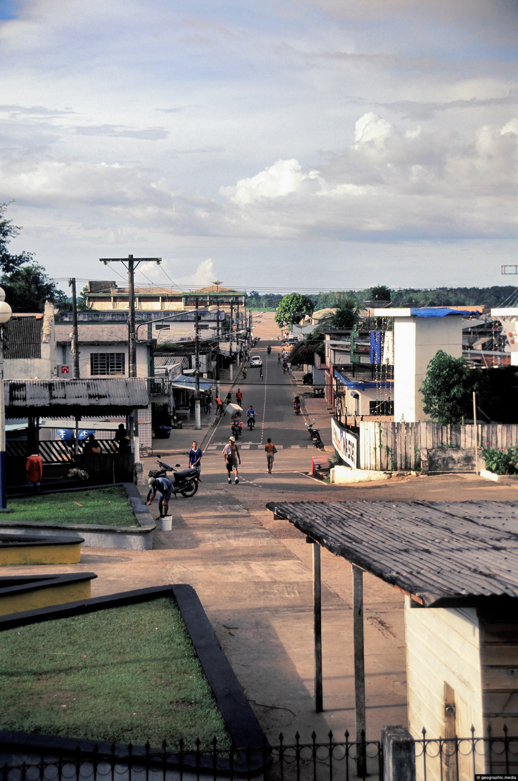
Puerto Nariño is the second biggest town in the Amazonas department of Colombia. It is a lot smaller than...
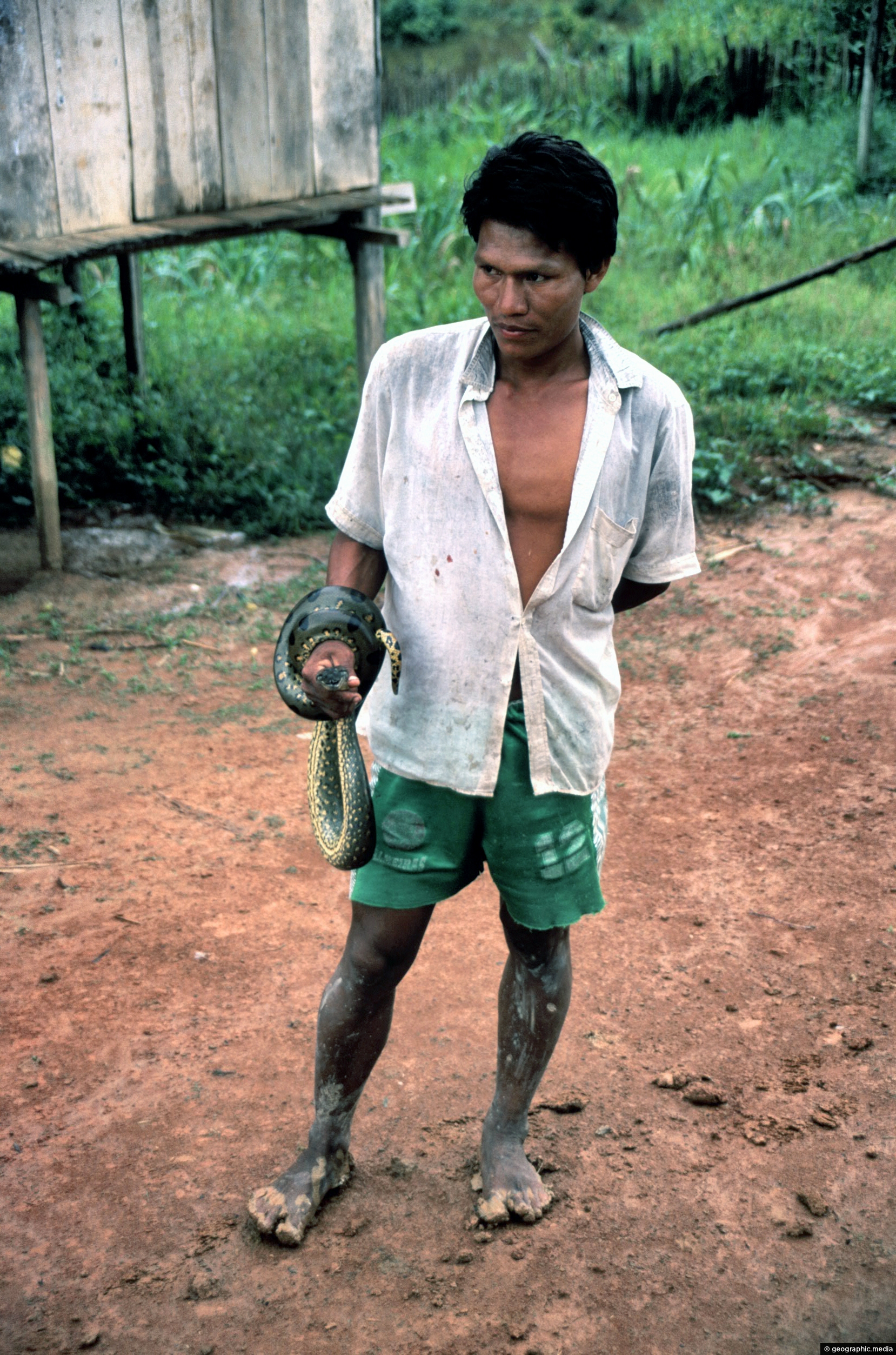
Man in the Amazonas region of Colombia with an anaconda wrapped around his arm.
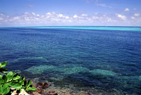
View of the Caribbean Sea in Colombia from the paradise island of Providencia. The sea here has coral gardens...
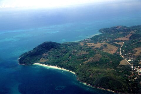
Aerial View of Providencia Colombia
Providencia photos, Beaches, Islands, Landscape / Horizontal, SeaAerial View of Providencia Island in Colombia with the main road in view. The white and beach is Manzanillo...
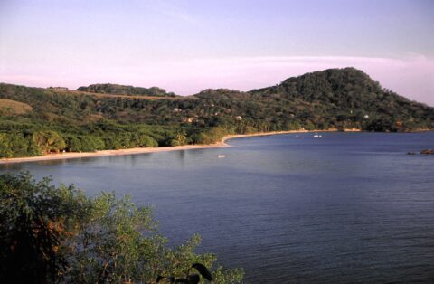
Southwest Bay is one of the main beaches on Providencia Island. Manzanillo Bay is the other main beach on...
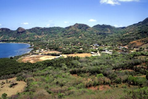
Santa Isabel is the largest town on Providencia Island and is located on the northern coast. It is where...
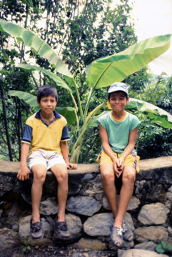
Two children from Anapoima in Colombia posing for a photo.
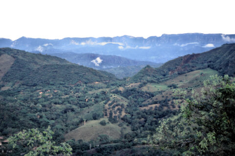
Hills and the Andes mountains as seen from the small town of Anapoima. The town has a subtropical climate,...
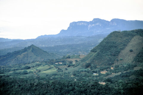
View of surrounding farmland in Anapoima with peaks in the Andes visible in the background. These peaks are around...
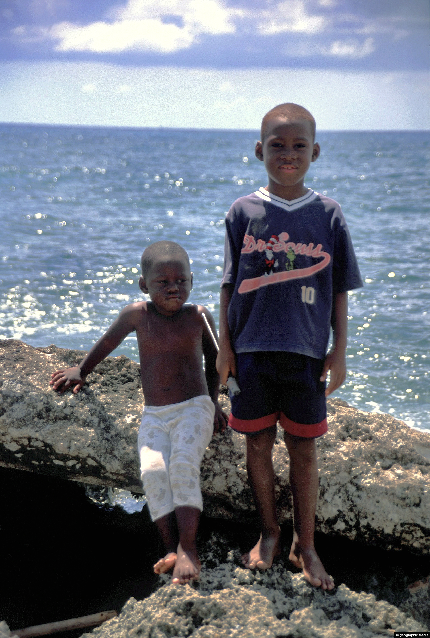
View of two Afro-Colombian boys on the Caribbean island of San Andres. San Andres and the nearby island of...
Calendar
| M | T | W | T | F | S | S |
|---|---|---|---|---|---|---|
| 1 | ||||||
| 2 | 3 | 4 | 5 | 6 | 7 | 8 |
| 9 | 10 | 11 | 12 | 13 | 14 | 15 |
| 16 | 17 | 18 | 19 | 20 | 21 | 22 |
| 23 | 24 | 25 | 26 | 27 | 28 | 29 |
| 30 | ||||||
Popular Posts
- Awakening New Zealand video (100)
- Iguazu Falls as seen from Brazil (87)
- Metrocable Medellin (78)
- Pauatahanui Inlet (69)
- Spinnaker Hill View (68)
- Spinnaker Hill in Whitby Porirua (68)
- View from Whitby (68)
- The Devil’s Throat (62)
- Aerial View of Iguazu Falls (61)
- Porirua Harbour & Papakowhai (57)
- Lake Wakatipu (57)
- Salto Rivadavia & Iguassu River (56)
- Lake Tekapo & Lupins (54)
- Nelson View (53)
- Salto Rivadavia Misiones Province (53)
- Cascadas at Iguazu (53)

Recent Comments