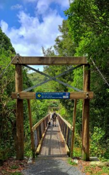
Birchville Suspension Bridge takes you inside Akatarawa Forest. The bridge is a starting or finishing point on the walk...
All original royalty-free photos, shareable maps, and informative articles.
Tararua Range photos
About The Tararua Ranges
Photos of the Tararua Range in the Wellington region
The Tararua Range is a mountain range located in the southern part of New Zealand’s North Island. It extends for approximately 80 kilometers northeast of Wellington city. The range is known for its rugged terrain and challenging hiking trails, which attract many outdoor enthusiasts.
The Tararua Range is part of the larger Tararua Forest Park, which covers over 100,000 hectares and is home to a diverse range of flora and fauna. The range is characterized by steep ridges, deep gorges, and a series of peaks that rise to over 1,500 meters. South of the range lies the Remutaka range and north is the Ruahine range.
There are many hiking trails throughout the Tararua Range, from easy day hikes to multi-day treks that require a high level of fitness and experience. The most popular trails include the Southern Crossing, a three-day hike that traverses the range from Kaitoke to Otaki Forks, and the Holdsworth-Jumbo Circuit, a four-day hike that takes in some of the range’s most spectacular scenery.
For more photos of the Tararua Range, visit Virtual New Zealand.
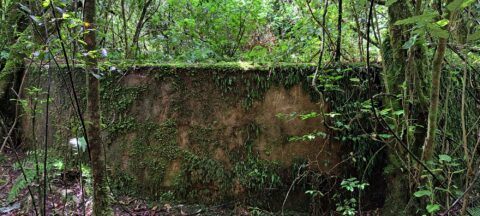
This water tank is located in the Akatarawa Forest. It was associated with Birchville Dam which was decommissioned in...
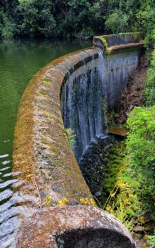
The Cannon Point and Birchville Dam trail is a captivating 90-minute hike through the scenic hills north of Upper...
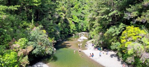
The Pākuratahi River is a river located in the lower North Island of New Zealand. The river runs through...
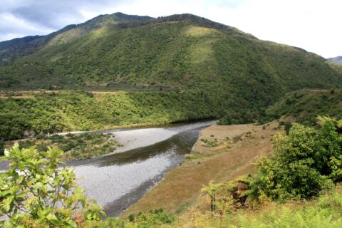
Looking at the Otaki River with the Tararua mountains in the background. Photo was taken at Otaki Forks on...
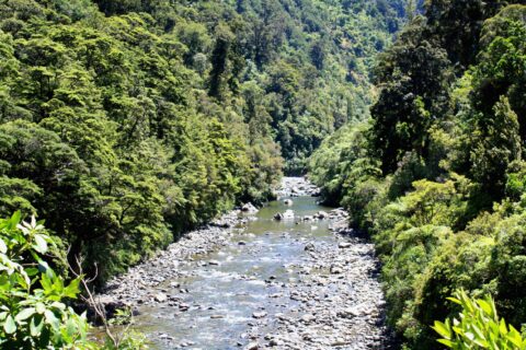
Hutt River Gorge within the Tararua range is a beautiful section of the Hutt River located in Kaitoke Regional...
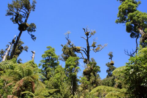
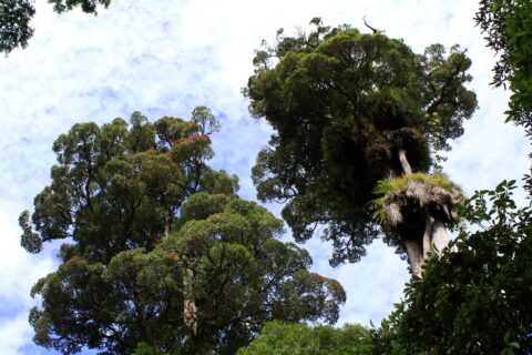
A tract of mature rain forest in the Tararua range against a deep blue sky. The Tararua Range is...
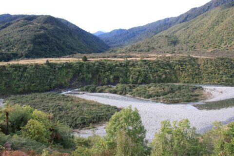
View of the Otaki River near Otaki Forks where the convergence of the Southern Waiotauru River takes place. Located...
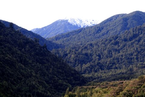
A snowy peak is just visible from Otaki Forks in the Tararua Mountains. In winter this range can be...
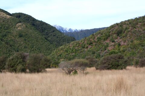
Some light snow in the Tararua range at Otaki Forks. In winter this mountain range can get substantial snow.
Rata is a common name for several species of trees in the myrtle family, Myrtaceae, that are native to...
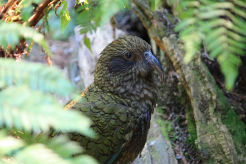
Kea are are related to the kaka which look similar but are more brown in colour. This kea was photographed...
Calendar
| M | T | W | T | F | S | S |
|---|---|---|---|---|---|---|
| 1 | 2 | 3 | 4 | |||
| 5 | 6 | 7 | 8 | 9 | 10 | 11 |
| 12 | 13 | 14 | 15 | 16 | 17 | 18 |
| 19 | 20 | 21 | 22 | 23 | 24 | 25 |
| 26 | 27 | 28 | 29 | 30 | 31 | |
Popular Posts
- Awakening New Zealand video (100)
- Iguazu Falls as seen from Brazil (87)
- Metrocable Medellin (78)
- Pauatahanui Inlet (69)
- Spinnaker Hill in Whitby Porirua (68)
- Spinnaker Hill View (68)
- View from Whitby (68)
- The Devil’s Throat (62)
- Aerial View of Iguazu Falls (61)
- Porirua Harbour & Papakowhai (57)
- Lake Wakatipu (57)
- Salto Rivadavia & Iguassu River (56)
- Lake Tekapo & Lupins (54)
- Nelson View (53)
- Salto Rivadavia Misiones Province (53)
- Cascadas at Iguazu (53)

Recent Comments