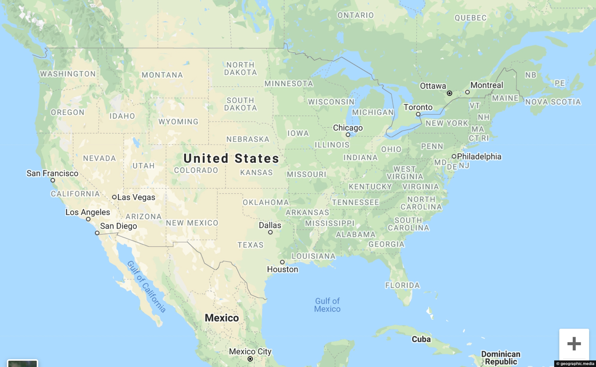
USA map showing landscapes, cities, towns, & streets OK View Larger Map Try out our interactive Google Map of...
All original royalty-free photos, shareable maps, and informative articles.
Explore North America
About North America
North America is the third-largest continent in the world, encompassing countries in the western hemisphere that include Canada and the USA, with Alaska and Hawaii as part of the latter. Mexico is located south of the USA, with several smaller countries between Mexico and Panama. North America also includes the island nations of the Caribbean.
The USA and Canada’s early immigration mainly came from Europe, including England and Ireland, and English is the official language in both countries. Spanish is also widely spoken in the USA due to recent immigration from Latin American countries.
Spanish is the official language of Mexico down to Panama, while the Caribbean mostly speaks Spanish, with some places preferring English.
North America is situated between the two largest oceans, the Atlantic and Pacific, and the Arctic Ocean is located north of Canada and Alaska. It also boasts the world’s largest freshwater reserve in the Great Lakes. This continent features a wide range of climates and landscapes, from the northern tundra to tropical rainforests, with deserts, wetlands, mountains, and plains in between.
Top 10 cities to visit
- New York,
- Chicago,
- Washington D.C.,
- Miami,
- Las Vegas,
- Los Angeles,
- San Francisco,
- Seattle,
- Vancouver,
- Toronto,
- Mexico City.
Top natural sites
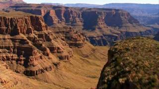
- The Grand Canyon is a UNESCO World Heritage Site. Located in Arizona, it attracts visitors from all over the world. It is a huge canyon that leaves visitor awestruck at its scale and beauty.
- The Caribbean, which includes many tropical islands with stunning beaches, luxury resorts, and great diving.
- The Belize Barrier Reef in southern Mexico also extends into South America. This reef is the biggest outside the Coral Sea in Australia. It has stunning coral formations, a myriad of colorful fish species, and warm clear water making it ideal for diving.
- Alaska state is separated from the rest of the USA by Canada, it is absolutely huge and considered the final frontier of the USA. It contains spectacular landscapes, glaciers, and has the top 10 highest peaks in North America.
- The Rocky Mountains (the Rockies) which stretch more than 4,830 km (3,000 miles) through Canada and the USA.
This video explores the coastal rainforests of British Columbia in Canada. Learn how salmon help the rainforest to thrive...
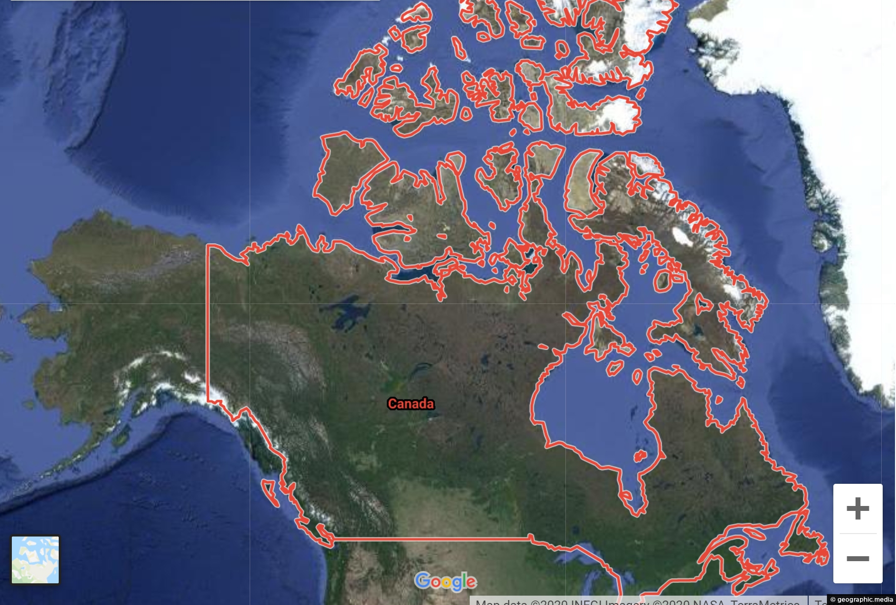
View Larger Map Explore Canada using our Google Map and Street View. Take a virtual tour of Vancouver, navigate...
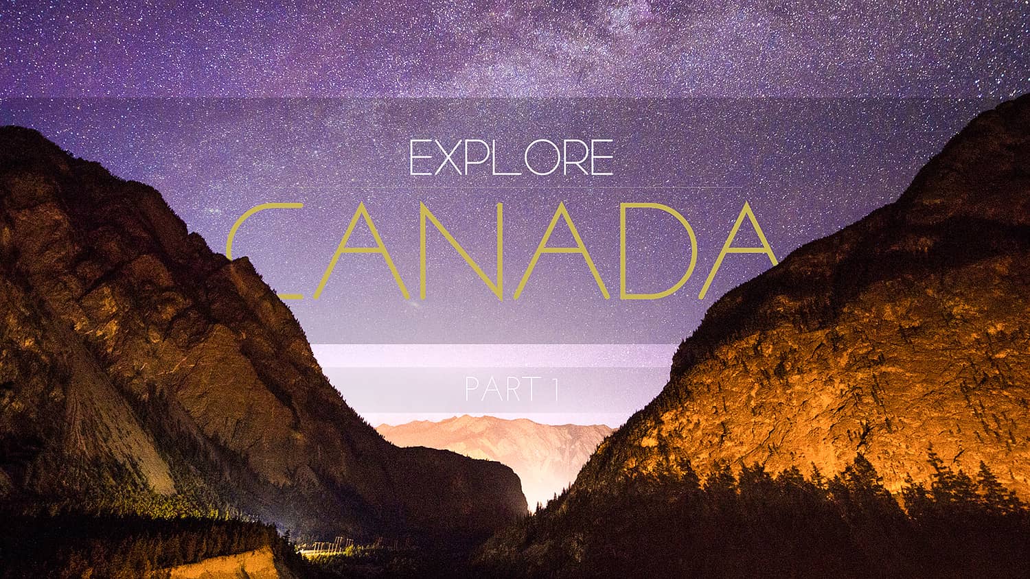
Timelapse photography around Canada’s most beautiful areas.
Banff National Park in the Rocky Mountains near Calgary is oldest national park in Canada. Established in 1885, the park includes...
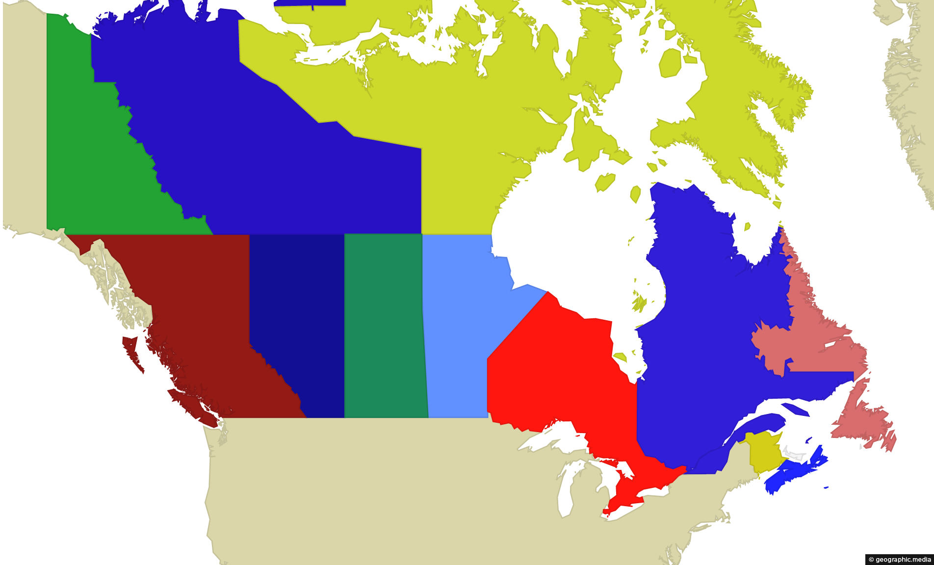
Hover over the Canadian map to learn the name of each province or territory. The USA and Greenland which...
A National Geographic video with aerial and ground footage of The Grand Canyon in Arizona.
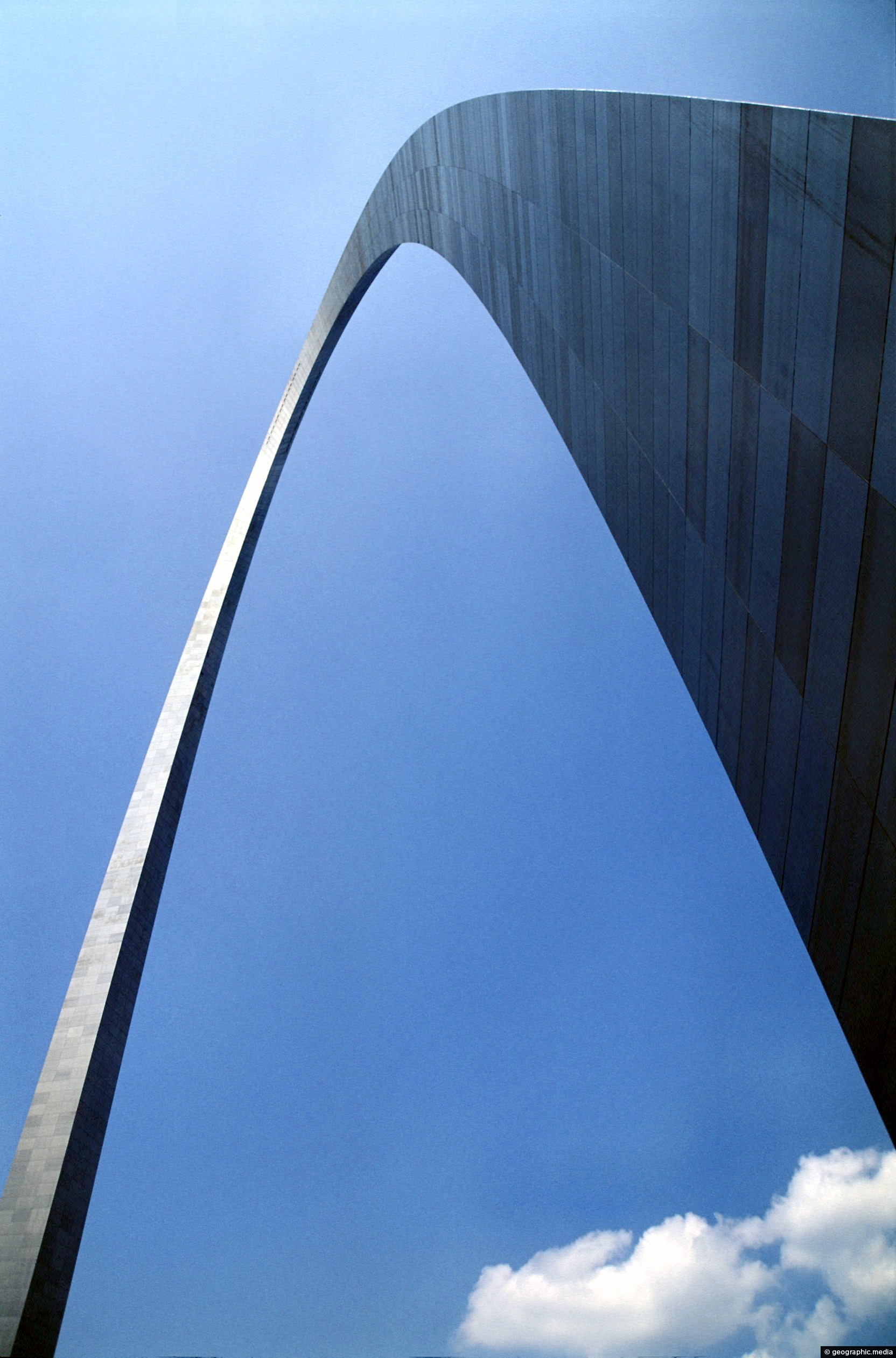
Gateway Arch St Louis Missouri
St Louis photos, Architecture, Art, Buildings, Cities, Portrait / VerticalThe Gateway Arch is the tallest monument in the USA at 192 meters (630-feet). The stainless steel clad structure...
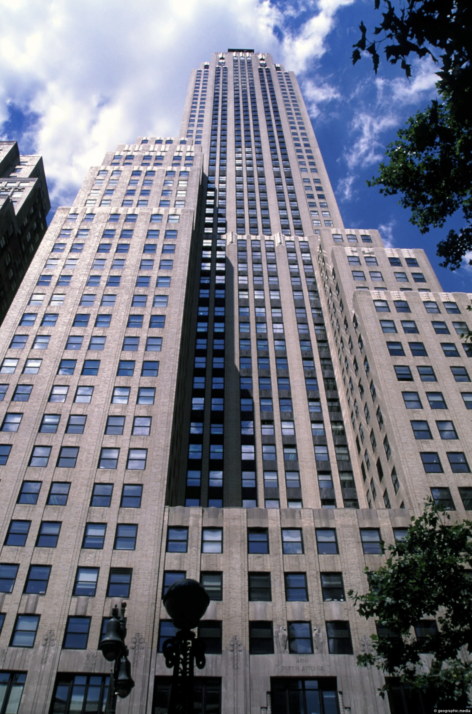
Empire State Building New York City
New York photos, Buildings, Cities, Portrait / Vertical, SkyscrapersThe Empire State Building is arguably the most iconic of all New York skyscrapers. At 102 stories, it was...
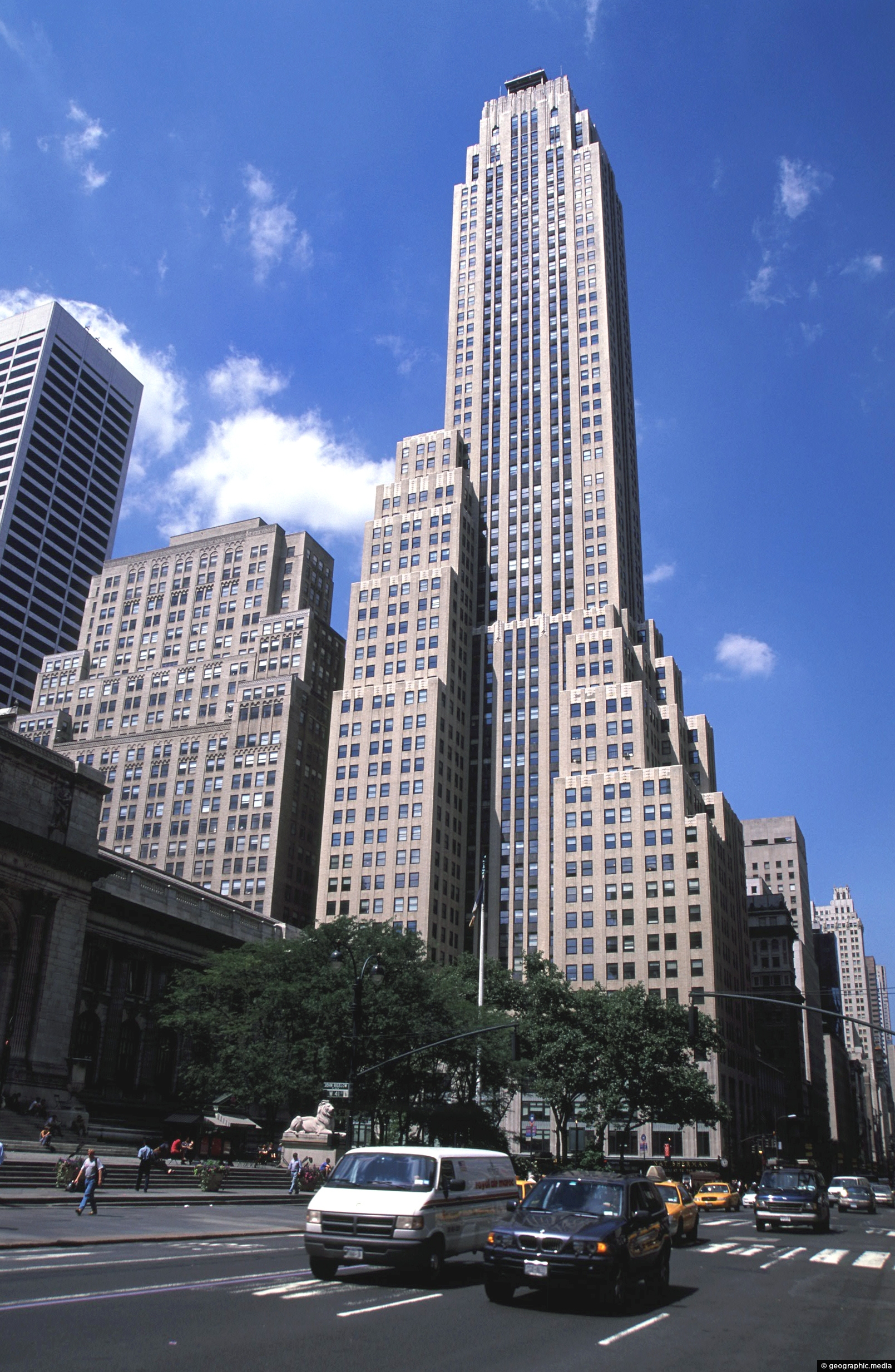
The Empire State in New York, USA
New York photos, Buildings, Cars, Cities, Portrait / Vertical, Roads, SkyscrapersThe Empire State Building is the second-tallest building in New York. Only the One World Trade Center in the...
Calendar
| M | T | W | T | F | S | S |
|---|---|---|---|---|---|---|
| 1 | ||||||
| 2 | 3 | 4 | 5 | 6 | 7 | 8 |
| 9 | 10 | 11 | 12 | 13 | 14 | 15 |
| 16 | 17 | 18 | 19 | 20 | 21 | 22 |
| 23 | 24 | 25 | 26 | 27 | 28 | 29 |
| 30 | ||||||
Popular Posts
- Awakening New Zealand video (100)
- Iguazu Falls as seen from Brazil (87)
- Metrocable Medellin (78)
- Pauatahanui Inlet (69)
- Spinnaker Hill in Whitby Porirua (68)
- Spinnaker Hill View (68)
- View from Whitby (68)
- The Devil’s Throat (62)
- Aerial View of Iguazu Falls (61)
- Porirua Harbour & Papakowhai (57)
- Lake Wakatipu (57)
- Salto Rivadavia & Iguassu River (56)
- Lake Tekapo & Lupins (54)
- Nelson View (53)
- Salto Rivadavia Misiones Province (53)
- Cascadas at Iguazu (53)

Recent Comments