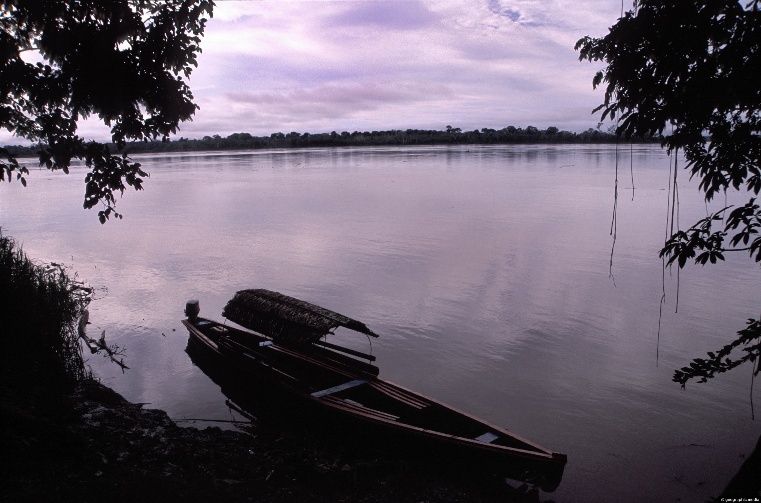
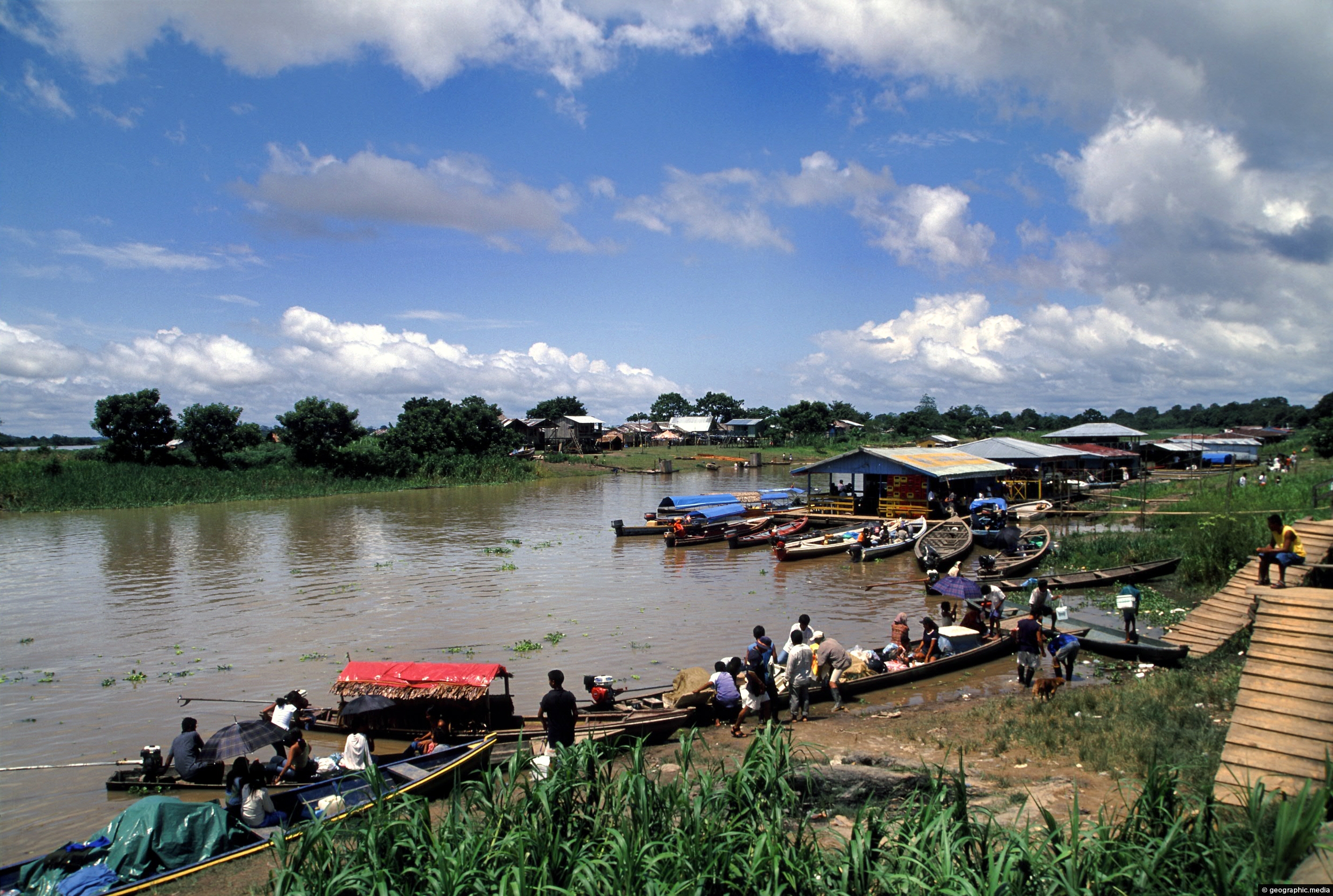
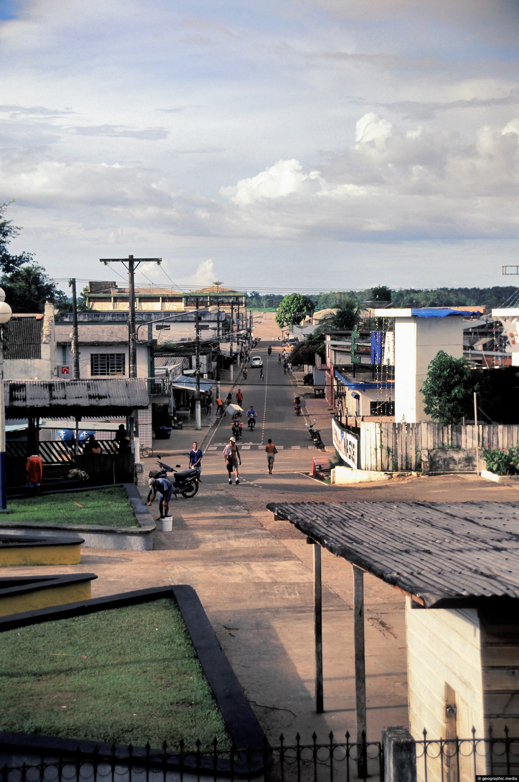
One-third of Colombia’s area sits in the Upper Amazon region. Pictured is the Amazon River at dusk near the settlement of Leticia. Access here is by plane because there are no connecting roads to the rest of the country.
ALL / Explore South America / Explore Colombia / Colombia Photos / Amazonas photos / View of the Amazon River in Colombia
All original royalty-free photos, shareable maps, and informative articles.
View of the Amazon River in Colombia
Page Views
This post has been viewed 2,499 times
Related Articles
-
Puerto Narino Amazonas Colombia
Amazonas photos, Homes, Landscape / Horizontal, Rivers, Settlements
View of Puerto Nariño in the Amazon region of Colombia. Settlements like this have no road access. Instead, access is...
-
Man holding an Anaconda
Amazonas photos, Animals, Portrait / Vertical, Reptiles
Man holding an anaconda in the Colombian Amazon region.
-
Secluded home in the Amazon Rainforest
Amazonas photos, Homes, Landscape / Horizontal, Trees
A small clearing in the Amazon rainforest with a home in view. This location is on the banks of...
-
Amazon Palms
Amazonas photos, Landscape / Horizontal, Palms, Trees
Looking at huge palm leaves in the Colombian Amazon region.
-
Victoria Regia – Victoria Amazonica
Amazonas photos, Flowers, Landscape / Horizontal
Victoria Regia are lilies that reach up to two meters in diameter. Also known as Victoria Amazonica, they are...
-
Buttress Roots Amazon Rainforest
Amazonas photos, Landscape / Horizontal, People, Trees
These visitors to the Amazon provide scale for this large buttress root system. Trees are usually deep rooted to...
-
Thatched House in the Amazon
Amazonas photos, Homes, Landscape / Horizontal
Pictured is a traditional thatched home. Usually beehive shaped, this type of home is becoming rarer as bigger homes...
-
Puerto Nariño in the Amazonas department
Amazonas photos, Portrait / Vertical, Roads, Shops, Towns
Puerto Nariño is the second biggest town in the Amazonas department of Colombia. It is a lot smaller than...
0 Comments
Latest Posts
Browse by Date
M | T | W | T | F | S | S |
---|---|---|---|---|---|---|
1 | 2 | 3 | 4 | 5 | 6 | 7 |
8 | 9 | 10 | 11 | 12 | 13 | 14 |
15 | 16 | 17 | 18 | 19 | 20 | 21 |
22 | 23 | 24 | 25 | 26 | 27 | 28 |
29 | 30 |
Popular Posts
- Awakening New Zealand video (100)
- Iguazu Falls as seen from Brazil (86)
- Metrocable Medellin (77)
- Spinnaker Hill View (68)
- Pauatahanui Inlet (68)
- View from Whitby (68)
- Spinnaker Hill in Whitby Porirua (67)
- The Devil’s Throat (62)
- Aerial View of Iguazu Falls (61)
- Porirua Harbour & Papakowhai (57)
- Lake Wakatipu (57)
- Salto Rivadavia & Iguassu River (56)
- Lake Tekapo & Lupins (54)
- Cascadas at Iguazu (53)
- Close up of Salto Rivadavia (53)
- Salto Rivadavia Misiones Province (53)
Subjects
AccommodationAnimalsArchitectureBeachesBirdsBoatsBridgesBuildingsCarsChurchesCitiesCliffsCoralCultureExtra Wide HorizontalFlowersForestsHarborsHomesIslandsLakesLandscape / HorizontalMapsMenMonumentsMountainsPalmsParksPeoplePlantsPortrait / VerticalRiversRoadsRuralSeaShopsSkyscrapersSnowSunsetsTownsTransportTreesVideosVolcanicWaterfalls
Recent Comments
- Lance on Concrete Hut Wainuiomata
- DavidJ on Concrete Hut Wainuiomata
- Tony on Concrete Hut Wainuiomata
- DavidJ on Wellington Night Skyline
- Ben on Auckland City Skyline from Westhaven Marina in 1998